The Continental
|
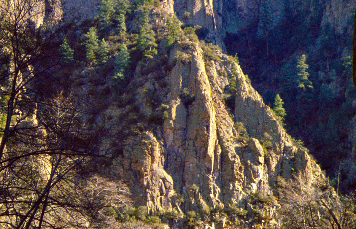
The beginning of the canyon wasn’t much more than a gravel wash but as I wandered further west, the chasm grew deeper, with steep canyon sides and rock cliffs above.
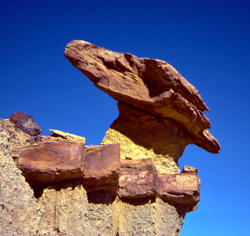
I was an uneducated geologist but that never hindered me from trying to figure out how the landscape was created. I had seen some pretty crazy land features over the months and always there was the question of “How do you suppose that happened?” Good trail food for thought. 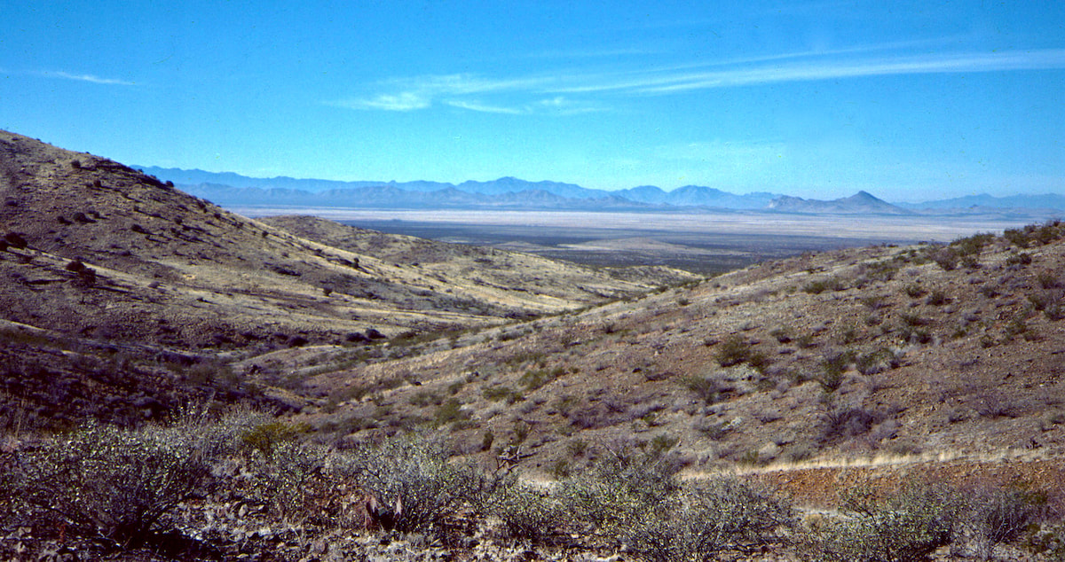 Other than the novelty of the gorge, the day passed without note until I emerged from the southwestern end of the canyon mid to late afternoon to make camp along the edge of a lava bed. The lava bed was a barren, alien looking place stacked with a chaos of sharp, lava rock that looked sinister and nearly impenetrable.
I had wanted to replenish my water supply but since I still had another day’s worth in my pack, I didn’t spend as much time looking for the spring as I should have. Apparently, I preferred to sit around camp and read about Hobbits in fantasyland than find water. Strange priorities, I know, but after Colorado, camping in New Mexico was great! Warm afternoons, mild evenings, and starry nights listening to Radio made hanging out in camp fun again
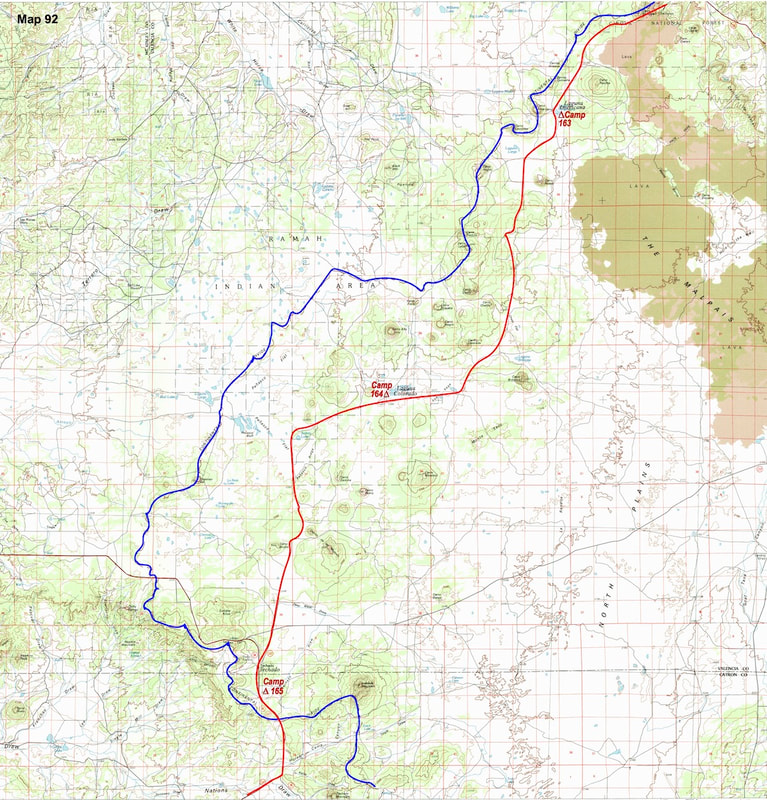
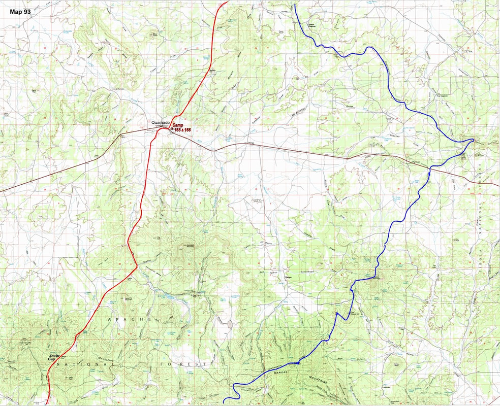
I had reached the lava beds early in the afternoon and took a break for lunch. In my head, I was calculating through my water rations and starting to regret not having found that spring back at the canyon. My next camp was out in the middle of no man’s land at a water hole shown on the map, but I wasn’t holding out a lot of confidence in finding water out there, and if I didn’t find water by days end, then what would my rations look like? 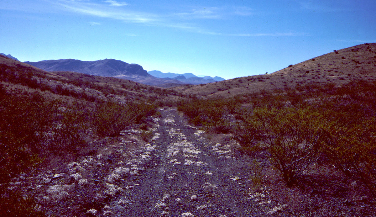 A two-track jeep trail ran along the western edge of the lava beds for several miles then veered away to head for a cone of earth resembling a giant pimple on the desert’s face. I spent the last hours of the afternoon hiking toward that giant pimple where the Laguna Americana water hole was supposedly located. 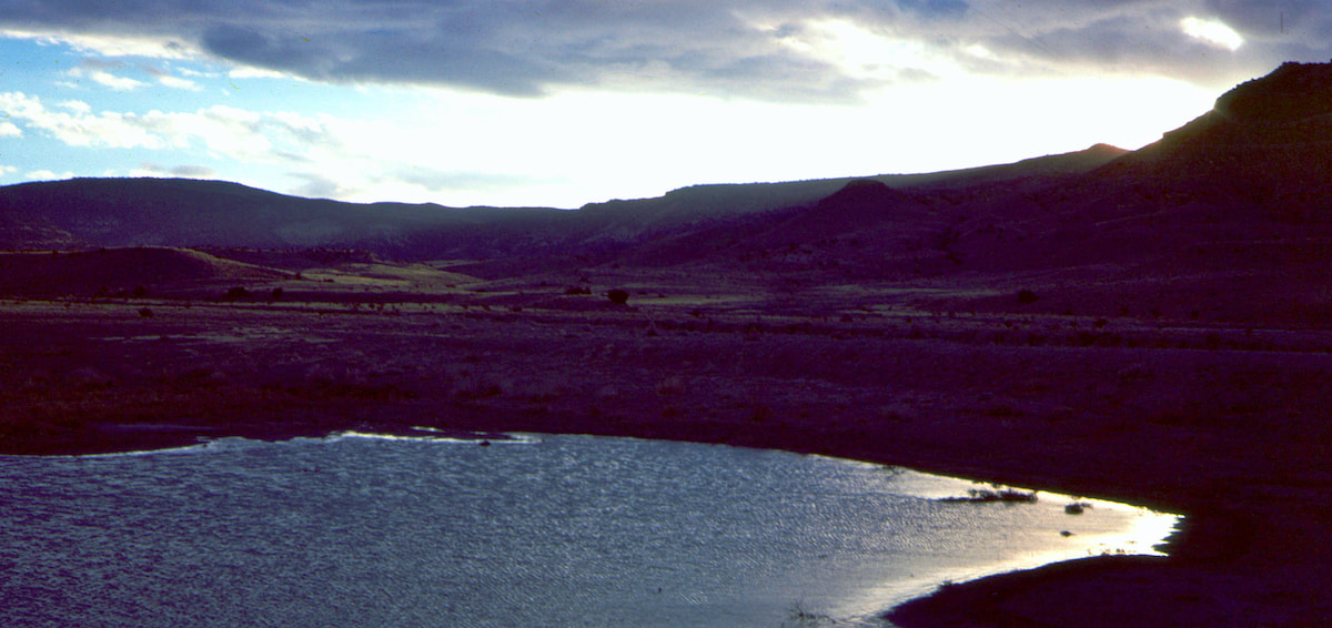 I was nervous about finding the water stash but my bearing held true, bringing me right to the Americana depression where, lo and behold, I found a shallow, milky-green, mineral-laden pond. The water wasn’t bad but tasted like it was a hundred years old. That night I laid out under the stars, snug in my sleeping bag, listening to Radio and feeling oddly content in a lonely kind of way. In the morning, I lounged in my bag until the sun had things warmed-up a bit, then resumed my crossing of the North Plains. The jeep trail continued on from Laguna Americana out into the plains, which I was following when I started to notice tire tracks running willy-nilly and it became fairly obvious that no roads were required out here, at all. 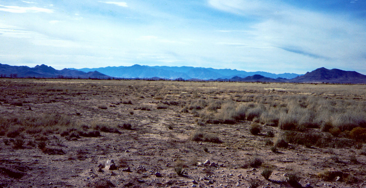 The way the tracks wandered, indicated people drove wherever they wanted, and they did so because there was absolutely nothing in the way. The same was true for hiking, the jeep trails were convenient but cross-country was just as easy. I periodically consulted my 250 map for any reassurance it might have to offer and, for the first time on the entire trip, a 250,000 series map was finally being useful. The land features were large enough and separated by enough distance to make the topography I was seeing out on the plains show up nicely on the map. 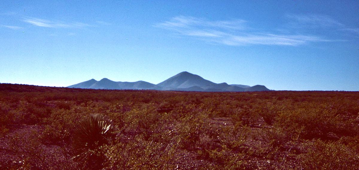 I followed jeep trails and wandered across the flats for hours and hours, eventually passing the Cerro Colorado Butte where I turned west in hope of locating another holding pond shown on the map. Later that afternoon, I sat around my camp pretty damned pleased with myself for having sniffed-out yet another watering hole in the middle of nowhere, Laguna Colorado. A jeep trail had led me straight to it, but still… 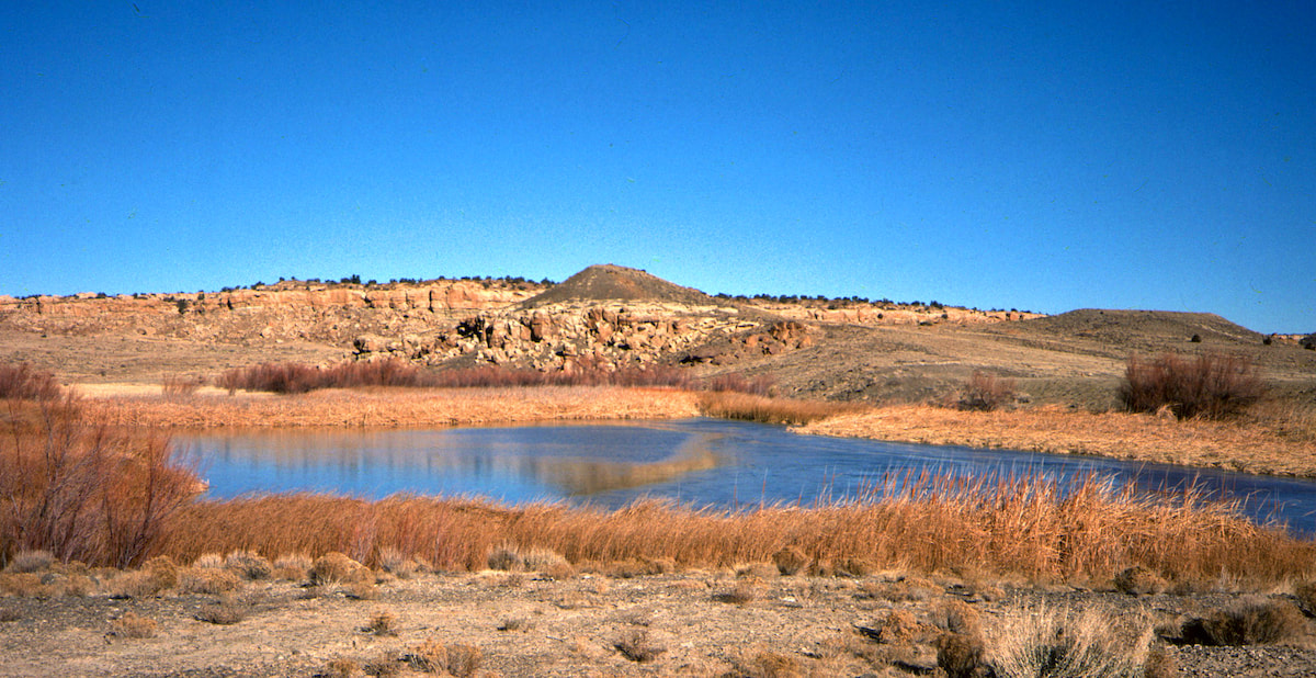 Overnight the weather changed and in the morning it was cold with an adversarial wind in my face. I returned to my lonely trek, having to remind myself that just a couple of weeks ago in Colorado, a little, cold wind hadn’t been such a big deal. Besides, I’d already wimped-out once on account of wind, I couldn’t let myself bail again. 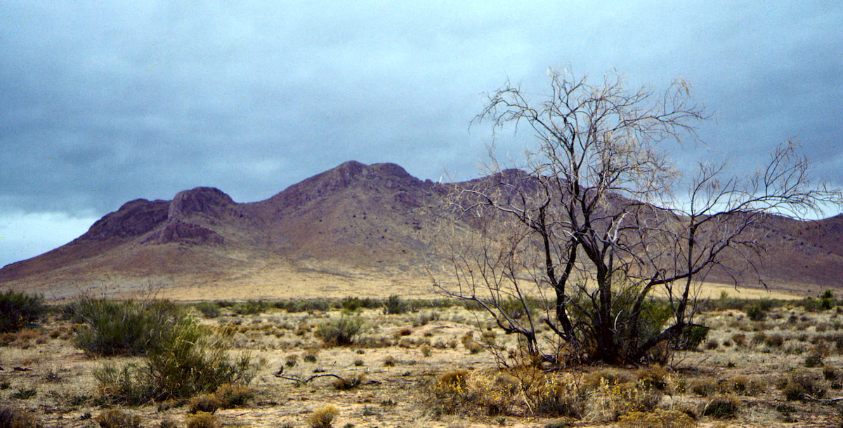 The further south I went the more established the jeep trail became until it was finally a dirt road which, by late afternoon, had terminated at a county, gravel road. My map had shown some sort of settlement called Techado along the county road but there wasn’t much at Techado. I saw a few dwellings not far from the road but I was good on water for the night, so I didn’t go knocking on anybody’s door. 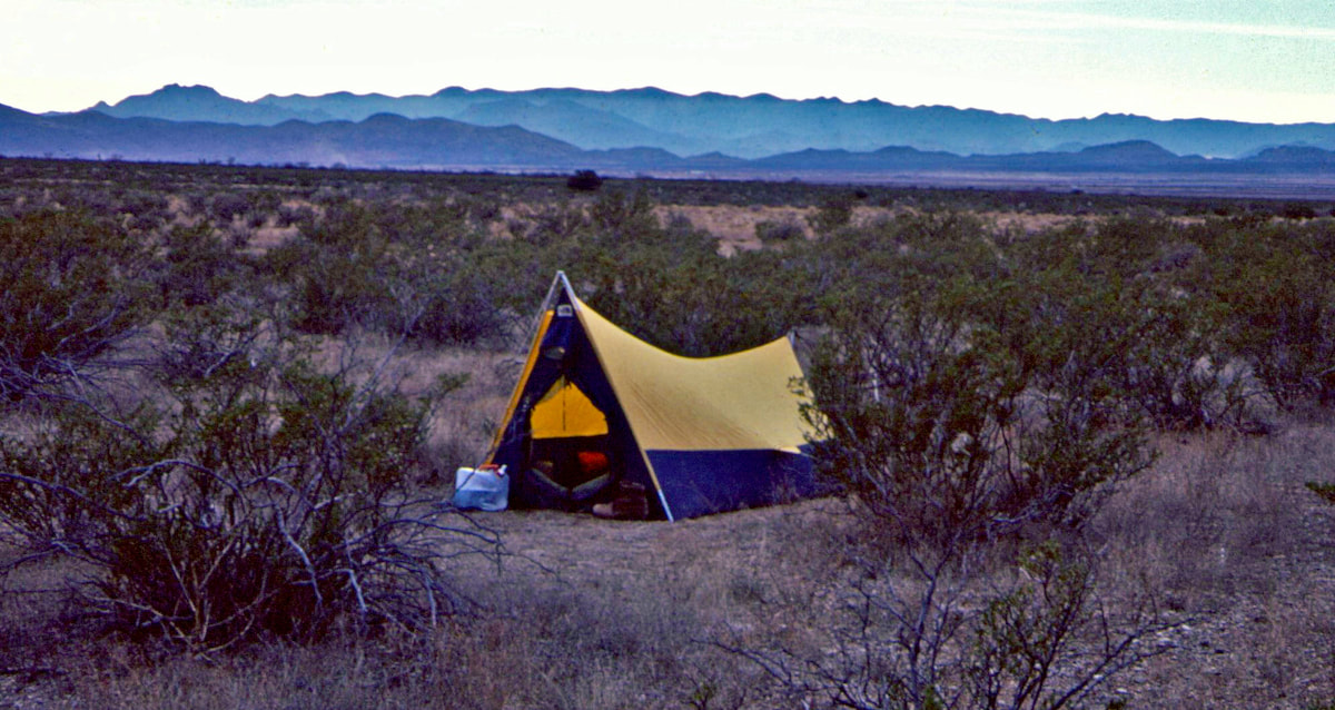 The weather did not improve overnight and, if anything, it was worse in the morning. Dark clouds hung low to the ground and a windblown, sleet/snow-flurry mix came in waves. I had a long day of road walking ahead of me to get down to Quemado where I hoped to pick-up some groceries and spend the night. 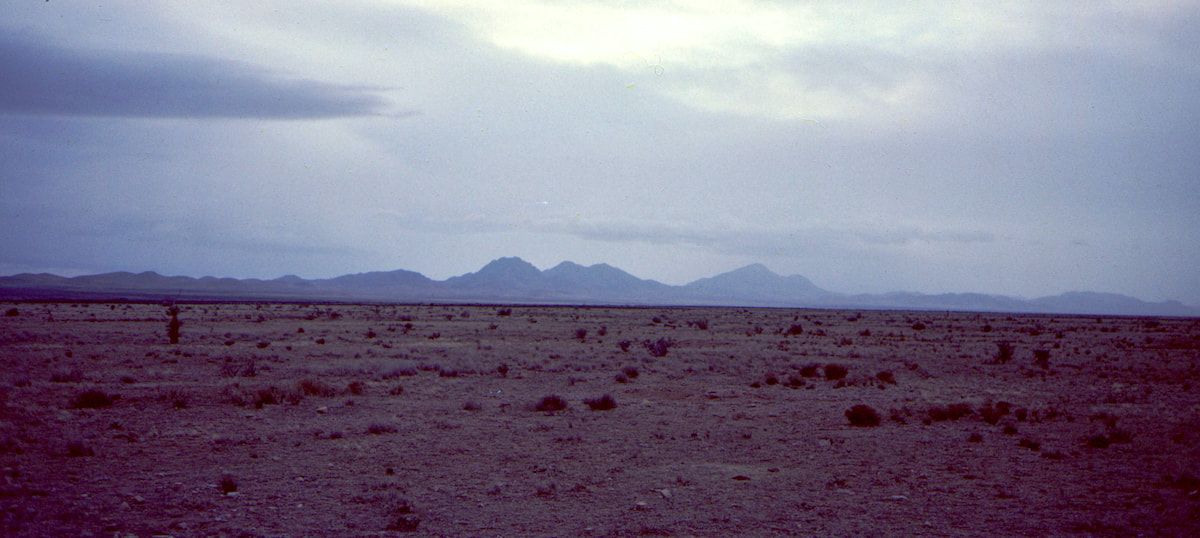 As the day wore on, I went between fretting about Quemado being a ghost town without even water to be had, to hoping I’d find a quaint, little Inn, like I had in Cuba. The weather was hardly conducive to a lunch’n lounge or afternoon break’n bask, so I barely stopped during the day, arriving in Quemado around four in the afternoon.
I stayed over in the boarding house a second night and the next morning I was again disappointed to see little improvement in the weather, but at least it wasn’t raining. I was anxious to get out of Quemado, so I went ahead and packed-up my stuff with the rain gear on top, leaving town under heavy, wet skies that had changed the road I was about to follow from dirt to mud. Go to Part 84
0 Comments
Leave a Reply. |

Kip Rusk, 1977
Kip RuskIn 1977, Kip Rusk walked a route along the Continental Divide from Canada to Mexico. His nine month journey is one of the first, documented traverses of the US Continental Divide. 
Montana Part 1 - Glacier Ntl Pk Part 2 - May 11 Part 3 - May 15 Part 4 - May 19 Part 5 - May 21 Part 6 - May 24 Part 7 - May 26 Part 8 - June 2 Part 9 - June 5 Part 10 - June 7 Part 11 - June 8 Part 12 - June 11 Part 13 - June 12 Part 14 - June 15 Part 15 - June 19 Part 16 - June 23 Part 17 - June 25 Part 18 - June 27 Part 19 - June 30 Part 20 - July 5-6 Part 21 - July 7-8 Part 22 - July 9-10 Part 23 - July 11-15 Part 24 - July 17-18 Part 25 - July 18-19 Part 26 - July 19 Part 27 - July 20-21 Part 28 - July 22-23 Part 29 - July 24-26 Part 30 - July 26-30 Part 31 - July 31-Aug 1 Part 32 - Aug 1-4 Part 33 - Aug 4-6 Part 34 - Aug 6 Part 35 - Aug 7-9 Part 36 - Aug 9-10 Part 37 - Aug 10-13 Wyoming Part 38 - Aug 14 Part 39 - Aug 15-16 Part 40 - Aug 16-18 Part 41 - Aug 19-21 Part 42 - Aug 20-22 Part 43 - Aug 23-25 Part 44 - Aug 26-28 Part 45 - Aug 28-29 Part 46 - Aug 29-31 Part 47 - Sept 1-3 Part 48 - Sept 4-5 Part 49 - Sept 5-6 Part 50 - Sept 6-7 Part 51 - Sept 8-10 Part 52 - Sept 11-13 Part 53 - Sept 13-16 Part 54 - Sept 17-19 Part 55 --Sept 19-21 Part 56 Sept 21-23 Part 57 - Sept 23-25 Part 58 - Sept 26-26 Colorado Part 59 - Sept 26 Part 60 - Sept 30-Oct 3 Part 61 - Oct 3 Part 62 - Oct 4-6 Part 63 - Oct 6-7 Part 64 - Oct 8-10 Part 65 - Oct 10-12 Part 66 - Oct 11-13 Part 67 - Oct 13-15 Part 68 - Oct 15-19 Part 69 - Oct 21-23 Part 70 - Oct 23-28 Part 71 - Oct 27-Nov 3 Part 72 - Nov 3-5 Part 73 - Nov 6-8 Part 74 - Nov 9-17 Part 75 - Nov 19-20 Part 76 - Nov 21-26 Part 77 - Nov 26-30 Part 78 - Dec 1-3 New Mexico Part 79 - Dec 3-7 Part 80 - Dec 8-11 Part 81 - Dec 12-14 Part 82 - Dec 14-22 Part 83 - Dec 23-28 Part 84 - Dec 28-31 Part 85 - Dec 31-Jan2 Part 86 - Jan 2-6 Part 87 - Jan 6-12 Part 88 - Jan 12-13 Part 89 - Jan 13-16 Part 90 - Jan 16-17 Part 91 - Jan 17 End |