The Continental
|
|
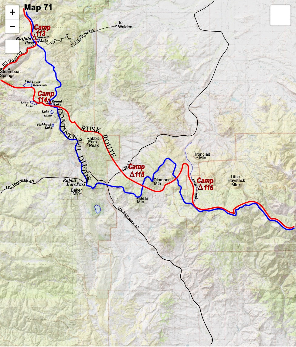
October 6th & 7th Troublesome Creek, CO (Go to Pt 1) The next morning I spent a good forty-five minutes bandaging my heels, consuming nearly all of the foot related, medical supplies remaining in my first aid kit. I put on my cleaner pair of liner socks then, for added cushion, I took my bandana and ripped and wrapped it into bandages over the liner sock. I pulled on my hiking sock then eased into my boots, lacing on the looser side, and found decidedly less pain walking around camp. 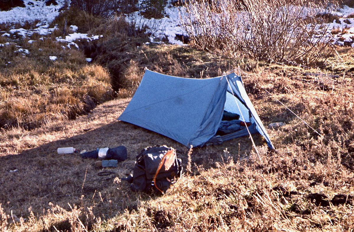
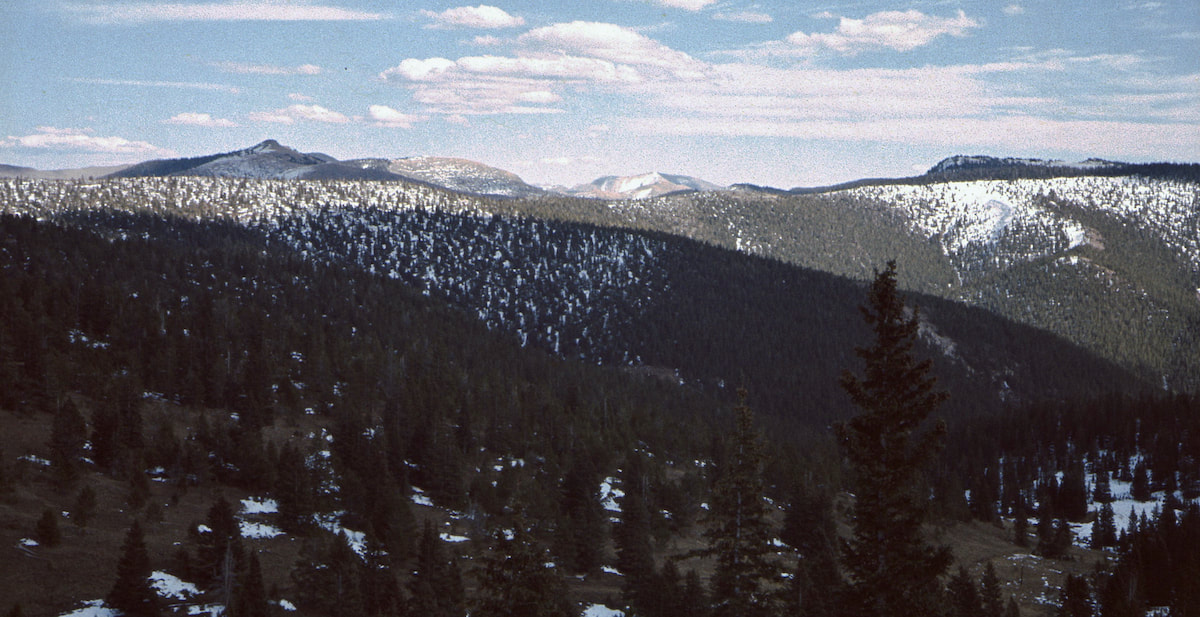 Thinner air acted to magnify the steepness of the ridge and seemed to increase the weight of my pack; thinner air also transferred less oxygen to my blood which meant the muscles in my legs were burning hotter. In a very measurable way, thinner air translated to heavier gravity and by late morning, my pace had been reduced to a meager 1mph and some change. 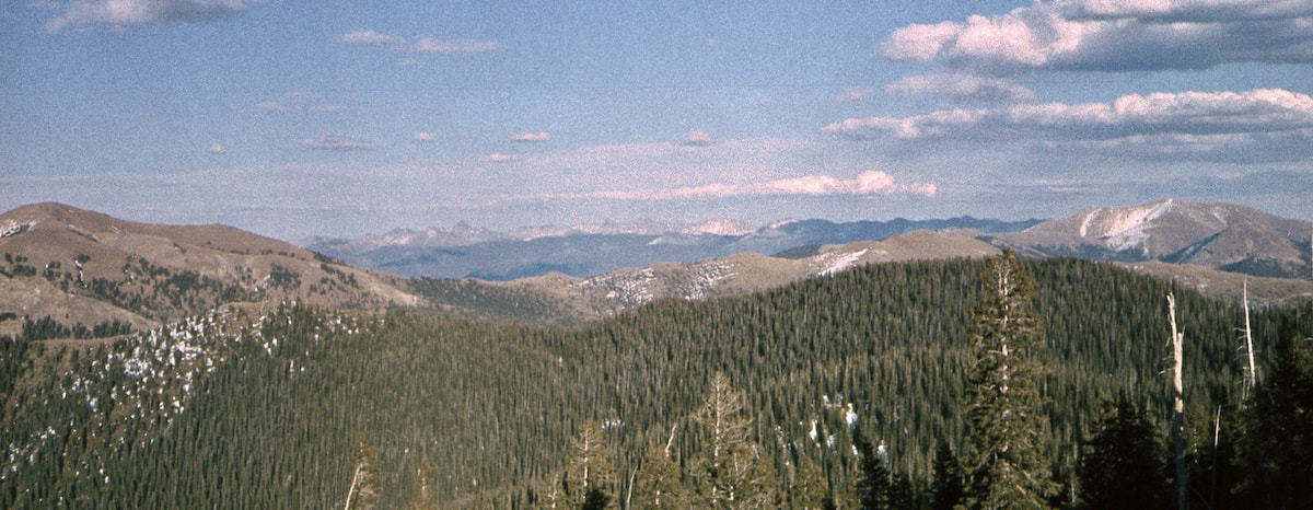 I stopped for lunch early in the afternoon, taking off my boots and lounging back against my pack, eyes closed. The sunny weather was so tits-up nice I ended up nodding off before I’d even opened the lunch sack. After about an hour of blissful dozing in the sun and enjoying my nuts and cheese, I mounted-up and resumed my slow motion march up the unyielding ridge. 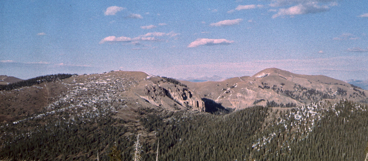 My pace was even slower after lunch and by mid-afternoon my glute, quad, and calf muscles were burning into their last reserves. Somewhere out at the end of this protracted ridgeline was Sheep Mountain and the Troublesome Creek valley, and Troublesome Creek was where I was trying to get to. At four in the afternoon, a time when I should have been settling into camp, I was still trying to attain the southwest flank of Sheep Mountain, and I had nothing left in the tank. I was stopping to rest every 15 minutes or so and gaining little terrain in the interim hiking. I literally moaned out-loud the last quarter mile, wishing my circumstances were anything but this. Yes, well, be careful what you wish for, homeboy. 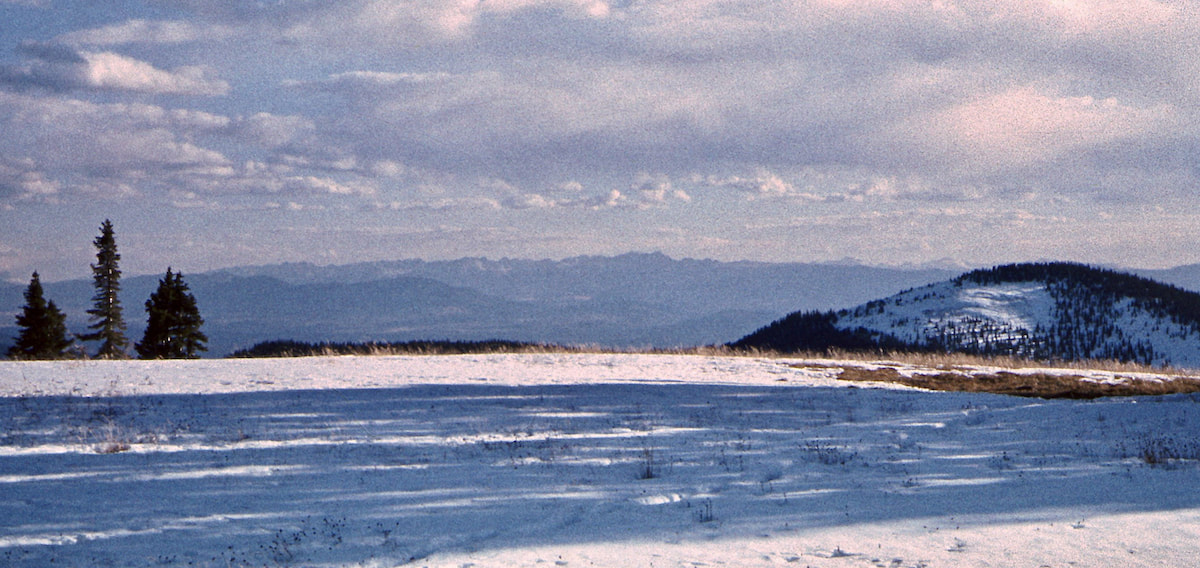 Around 5:30pm, I reached the southwestern flank of Sheep Mountain at 11,535ft, overlooking the Troublesome Creek Valley, and the uphill fight was finally over - only to flip on me in the reverse. The trail I had been following all day abruptly ended at the crest of the ridge, leaving me standing atop a screefield that fell precipitously away to a boulderfield that plunged further down the mountainside into a steep, untrailed forest below. For being as close as it was, Troublesome Creek was still a long ways off. The scree was too steep and loose to descend standing up, so I used the ‘rock’n roll’ method Craig and I had developed by sitting down in the loose fines, feet braced out front, and letting the sloughing gravel carry me down the slope to the boulderfield below. Leaving the scree behind on rubbery legs, I then negotiated my way down through the boulders into a steep, narrow gorge of thick timber. 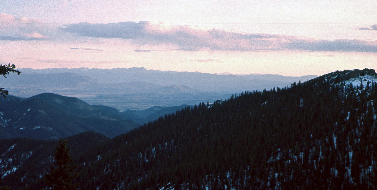 My legs were too weak to keep the downhill gravity completely in check and I was trying to dodge a lot of rocks and logs moving at a pace that promised a spectacular, swan-dive crash if I tripped-up. Like an 18-wheeler riding on bad brakes, I was constantly trying to reign myself back because the downhill momentum was a force that quickly got out of control. Unfortunately, trying to pick my way down through the gorge as slowly as my breaking power could withstand only served to aggravate another problem; I was almost out of daylight and I still had a ways to go to get out of this steep and un-campable drainage.
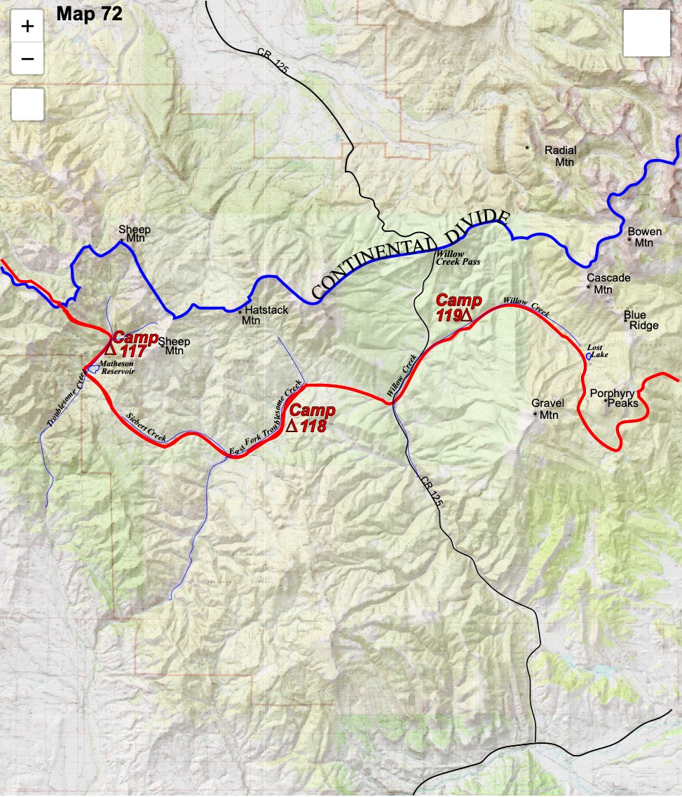
Once I got settled in the tent, I was too tired to deal with cooking and ate a bowl of granola topped with powdered milk instead. I checked-in on my feet and found the blister bandages holding-up well, which was good given the few supplies left in the first aid kit; in fact, the bandana bandages would have to remain until I could get out for more supplies. In the morning I felt better than I thought I would, considering the previous day’s mountain-madness-marathon, and Indian summer radiated down from a cloudless sky. My camp was a short ways away from the Matheson Reservoir where I could pick-up a trail that led up and out of the basin, over into Siebert Creek. Since leaving Round Lake, the ‘guns of autumn’ had echoed across the mountainsides but always at a distance. Today, however, my journey must have taken me right into the red zone because the rifle shots came often with their reports bursting from the nearby forests. 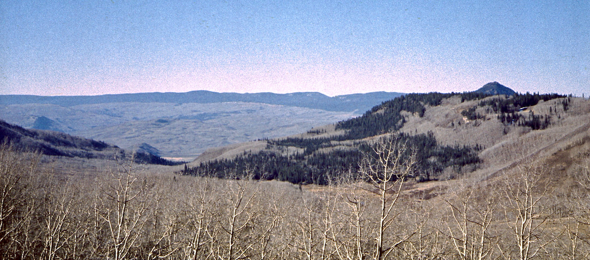 Maybe I was messing-up everyone’s hunt by traipsing down the middle of the valley, I didn’t know; or maybe it was working to their advantage, since nobody was taking pot shots at me. Either way, terrorizing for the elk, I’m sure, but I wasn’t so much bothered by it, at least not as much as I thought I would be. I figured the hunters were just other guys out here tromping around in the mountains same as I was and there was something comraderic about that. Shit, given my isolation, these guys were like buddies to me and the few hunters I actually did interact with across northern Colorado were friendly, funny, and generous guys. I didn’t worry much about getting accidentally shot the same as I didn’t worry much about a lot of other things out here that I couldn’t control. Siebert Creek meandered down valley to eventually join up with the East Fork of Troublesome Creek. Here I turned back north, following the East Fork upstream for several hours before the afternoon sun began to wane. The days were getting noticeably shorter and once the sun set, cold and dark moved in pretty quick. I wanted to get my camp set-up before the afternoon’s warm glow dissipated into twilight. 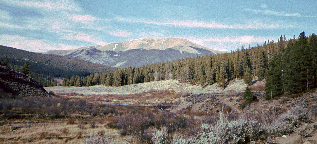 This had not been a long or difficult day and for that I was glad. I took off my boots, put on my camp booties and set about staking the tent and settling into my campsite. I had brought the first book of Tolkien’s trilogy with me, Fellowship of the Ring, so after I’d eaten and cleaned-out the cookpot, I zipped into my bag and started to read about… Hobbits. About ten pages in I was like ‘Alright, who’s the fucking middle-schooler that bought this book?’
0 Comments
Leave a Reply. |

Kip Rusk, 1977
Kip RuskIn 1977, Kip Rusk walked a route along the Continental Divide from Canada to Mexico. His nine month journey is one of the first, documented traverses of the US Continental Divide. 
Montana Part 1 - Glacier Ntl Pk Part 2 - May 11 Part 3 - May 15 Part 4 - May 19 Part 5 - May 21 Part 6 - May 24 Part 7 - May 26 Part 8 - June 2 Part 9 - June 5 Part 10 - June 7 Part 11 - June 8 Part 12 - June 11 Part 13 - June 12 Part 14 - June 15 Part 15 - June 19 Part 16 - June 23 Part 17 - June 25 Part 18 - June 27 Part 19 - June 30 Part 20 - July 5-6 Part 21 - July 7-8 Part 22 - July 9-10 Part 23 - July 11-15 Part 24 - July 17-18 Part 25 - July 18-19 Part 26 - July 19 Part 27 - July 20-21 Part 28 - July 22-23 Part 29 - July 24-26 Part 30 - July 26-30 Part 31 - July 31-Aug 1 Part 32 - Aug 1-4 Part 33 - Aug 4-6 Part 34 - Aug 6 Part 35 - Aug 7-9 Part 36 - Aug 9-10 Part 37 - Aug 10-13 Wyoming Part 38 - Aug 14 Part 39 - Aug 15-16 Part 40 - Aug 16-18 Part 41 - Aug 19-21 Part 42 - Aug 20-22 Part 43 - Aug 23-25 Part 44 - Aug 26-28 Part 45 - Aug 28-29 Part 46 - Aug 29-31 Part 47 - Sept 1-3 Part 48 - Sept 4-5 Part 49 - Sept 5-6 Part 50 - Sept 6-7 Part 51 - Sept 8-10 Part 52 - Sept 11-13 Part 53 - Sept 13-16 Part 54 - Sept 17-19 Part 55 --Sept 19-21 Part 56 Sept 21-23 Part 57 - Sept 23-25 Part 58 - Sept 26-26 Colorado Part 59 - Sept 26 Part 60 - Sept 30-Oct 3 Part 61 - Oct 3 Part 62 - Oct 4-6 Part 63 - Oct 6-7 Part 64 - Oct 8-10 Part 65 - Oct 10-12 Part 66 - Oct 11-13 Part 67 - Oct 13-15 Part 68 - Oct 15-19 Part 69 - Oct 21-23 Part 70 - Oct 23-28 Part 71 - Oct 27-Nov 3 Part 72 - Nov 3-5 Part 73 - Nov 6-8 Part 74 - Nov 9-17 Part 75 - Nov 19-20 Part 76 - Nov 21-26 Part 77 - Nov 26-30 Part 78 - Dec 1-3 New Mexico Part 79 - Dec 3-7 Part 80 - Dec 8-11 Part 81 - Dec 12-14 Part 82 - Dec 14-22 Part 83 - Dec 23-28 Part 84 - Dec 28-31 Part 85 - Dec 31-Jan2 Part 86 - Jan 2-6 Part 87 - Jan 6-12 Part 88 - Jan 12-13 Part 89 - Jan 13-16 Part 90 - Jan 16-17 Part 91 - Jan 17 End |