Challenge Hikes
of Rocky Mountain National Park
These hikes are challenging because, in many cases, the destination is off the main trail and so requires backcountry navigation skills in order to reach the destination. Good map reading skills and having an awareness of the lay of the land are an important part of these hikes.
These are sensitive areas, travel carefully
Select a trail below for a complete description, photos, maps, profiles, and more.
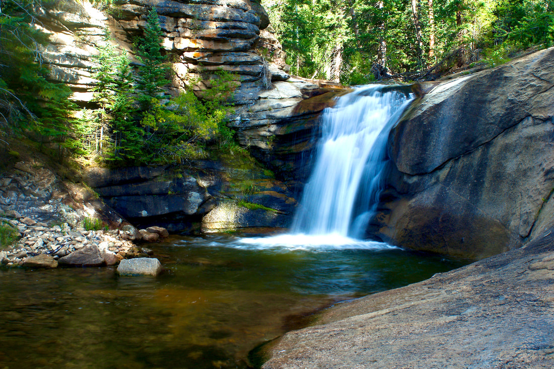
West Creek Falls -
2.4 miles |
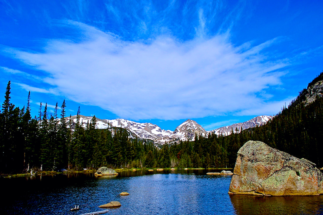
Twin Lakes -
3.6 miles |

Chapin, Chiquita, Ypsilon Mtns -
4.2 miles |
Sky Pond -
4.4 miles |
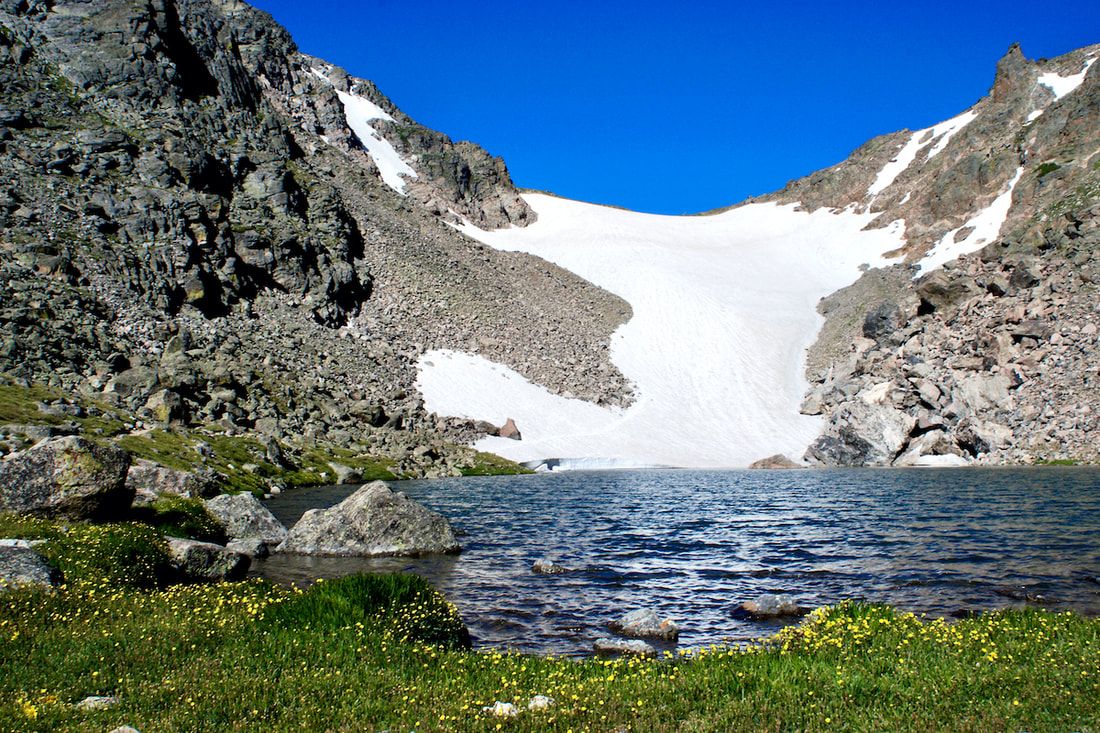
Andrews Tarn -
4.6 miles |
Shelf Lake -
4.9 miles |
Mt Ida -
4.9 miles |
Hallett Peak -
5.1 miles |
Tourmaline Lake -
5.4 miles |
Lion Lakes Basin -
7 miles |
Eagle Lake -
7.2 miles |
Gabletop Mountain -
7.2 miles |
Lake of Many Winds -
7.5 miles |
Crystal Lake -
7.5 miles |
Storm-Granite Passes -
15.9 miles (loop hike) |
Boulder-Grand Pass -
18.3 miles (through hike) |
Longs Peak-Keyhole Rt -
7.5 miles |
About Hiking in Rocky Mountain National Park
Follow all National Park regulations,
as posted at trailheads and on the official Park map. Click Here
Be sure to carry some water,
if you're planning to be gone for a while. Although the mountain streams are cold and clear and appear clean, abundant wildlife pass over these streams and may leave pathogens that could give you intestinal giardiasis. It's best to bring your own water.
Bring something warm to put on.
The weather in the mountains is not predictable. You can easily start off on your hike warm and sunny and return cold and wet. Afternoon thunderstorms are common and temperatures can vary considerably. It's always best to be prepared.
Pay attention to the weather.
Thunderstorms can pop up quickly and could be hazardous if you're in a bad spot; be ready to to take cover. Sometimes these thunderstorms pass quickly, followed by bright sun and fresh air.
Refrain from feeding the wildlife.
In some places, the little chipmunks and birds are so used to being fed, they will practically insist on a treat. It is illegal to feed any wildlife in the Park, even a friendly deer. Do not approach wildlife. This is their home; we should allow them to live here as undisturbed as possible while we watch.
Trail miles:
Most of the hikes listed show the one-way distance from the trailhead to a particular destination and the return distance needs to be added. In a few cases, the miles given are for the whole hike, for example, loop hikes or through-hikes (where the hike ends at a different trailhead then where you started).
Calculating hiking pace:
You can gage how much time you will need to complete a hike if you know the speed at which you hike. Most people will hike between 1-2 miles per hour. Start by seeing how long it takes to walk a 1/2 mile loop. Don't forget to factor in breaks, too.
About the maps:
The maps included with each hike are the most current USGS topographical maps. However, there are cases where the map may show old trails and so they should be used with caution and only as a general guide.