Support Our Local Partners
Click the Link
Click the Link

Backbone Adventures
|
Trail Type: Challenge Hike
Trailhead: Wild Basin Location: Wild Basin & Longs Peak Area Trailhead Elevation: 8,500' Destination Elevation: 11,080' Total Elevation Gain: 2,580' Total Roundtrip Miles: 14 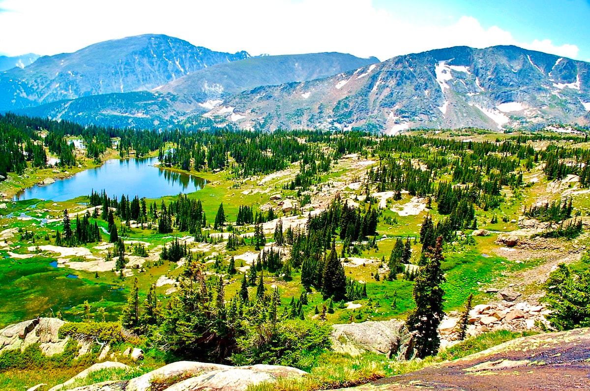
Lion Lake No. 1
|
Trail Description
A spectacular high alpine region in Rocky Mountain National Park dotted with lakes, small waterfalls and wildflowers. Follow the trail toward Thunder Lake for 4.8 miles, hiking past Calypso Cascades and Ouzel Falls, to the Lion Lake Trail, where it quickly gains in elevation in subalpine terrain. The trail ends at Lion Lake No 1 with views across the alpine basin to Mt. Alice. How to Get There
Drive south of Estes Park on Hwy 7 13.5 miles, toward the town of Allenspark. Turn right at the Wild Basin Ranger Station sign and follow the dirt road for 2 miles to the trailhead at the end. |
|
Trail Profile
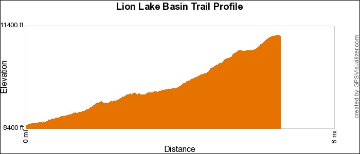
See an Index of Trail Profiles here
|
Weather Information
|
Brownfield's
|

Images of RMNP
|

Backbone Adventures
|

New Roots Real Estate
|

Poppy's Pizza & Grill
|

Mama Rose's
|
Visit Estes Park
|

Estes Park Health
|

The Original Taffy Shop
|

The Spice Rack
|

Raven's Roast Coffee Lounge
|

MacDonald Book Shop
|

Windcliff Vacation Rentals
|

Affinity Massage & Wellness
|

Mountain Home Cafe
|

Spur Liquor
|

Estes Park Mountain Shop
|
Rocky Mountain Adventures
|
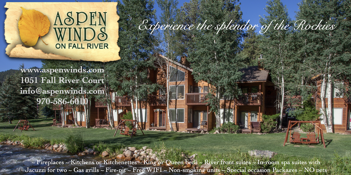
Aspen Winds
|
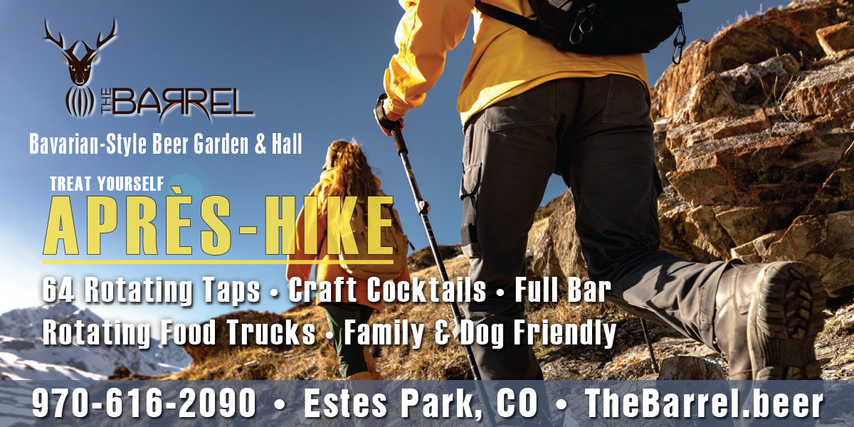
The Barrel
|
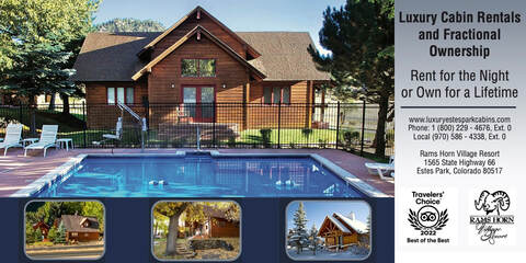
Rams Horn Village Resort
|
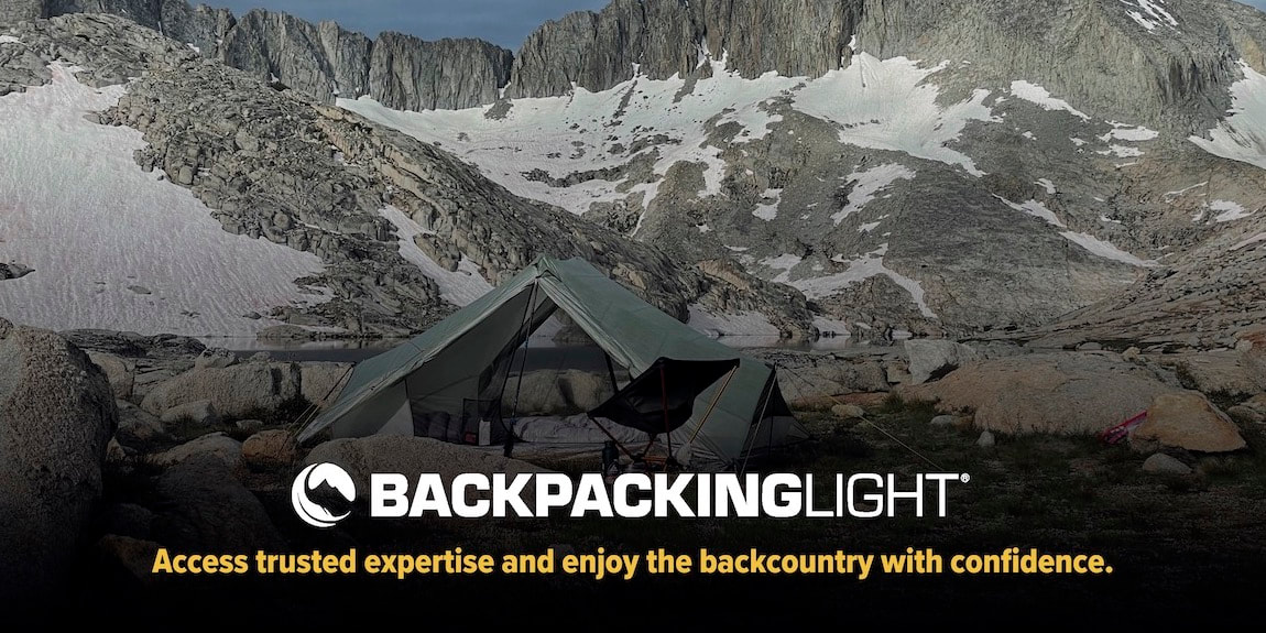
Backpacking Light
|

Plum Creek Shoe Station
|