|
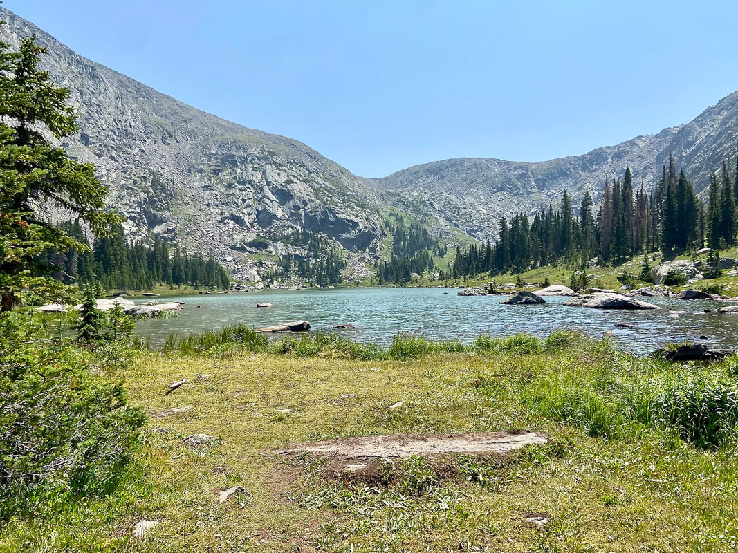
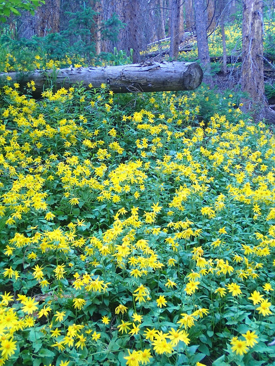
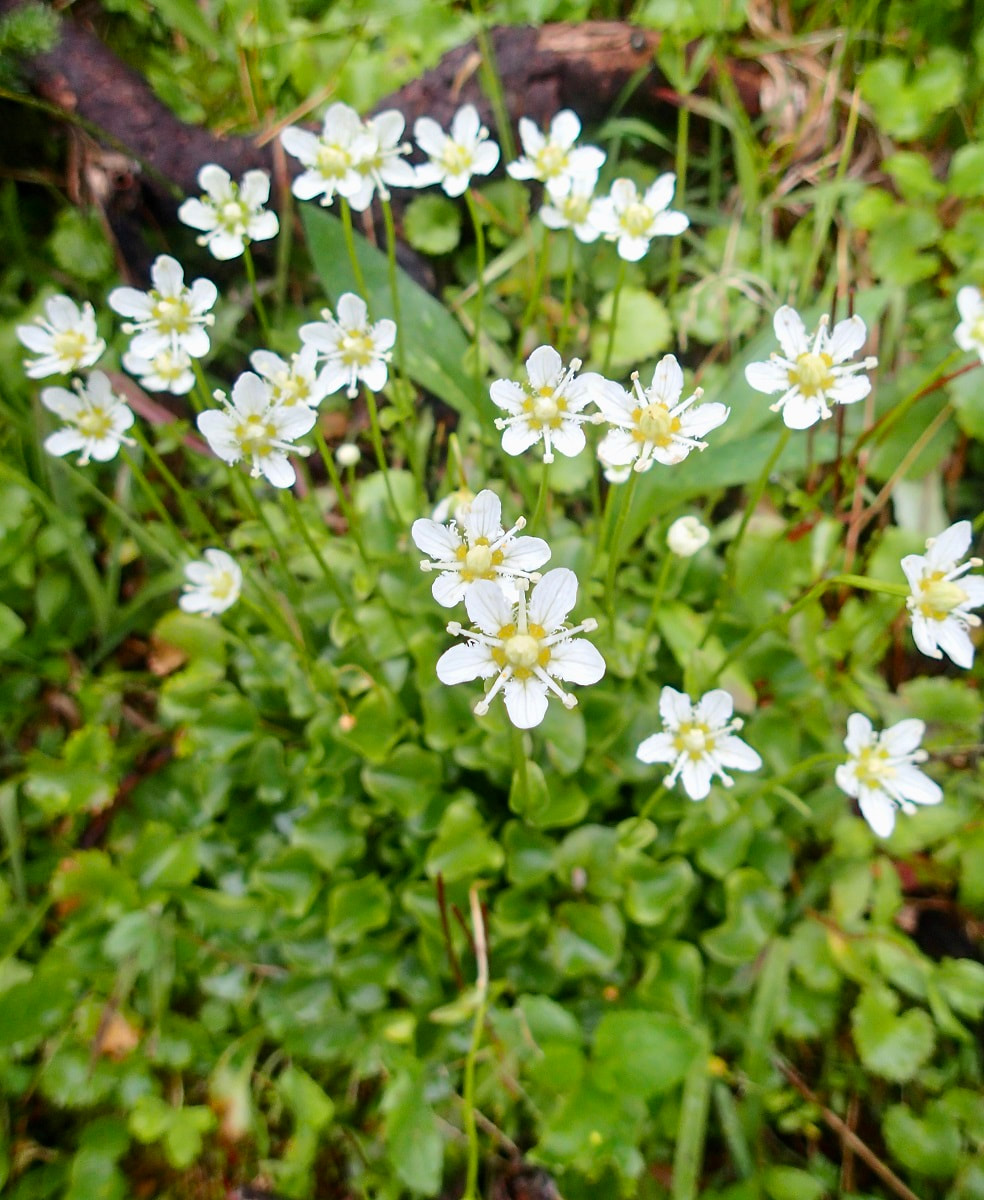
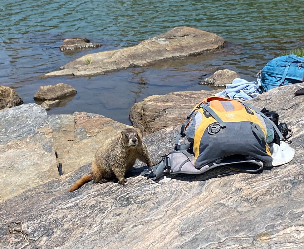
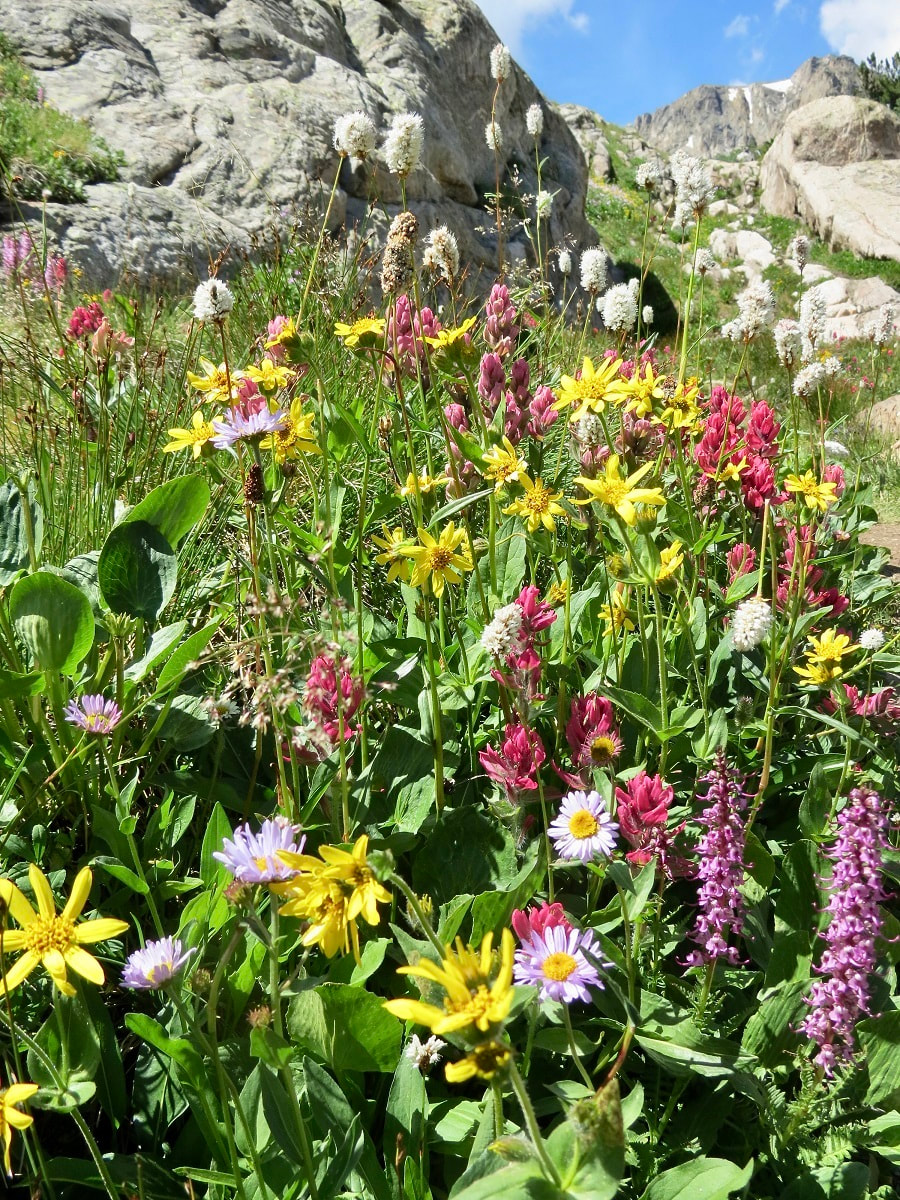
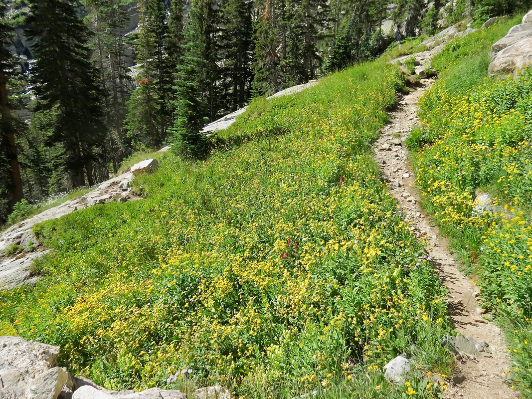
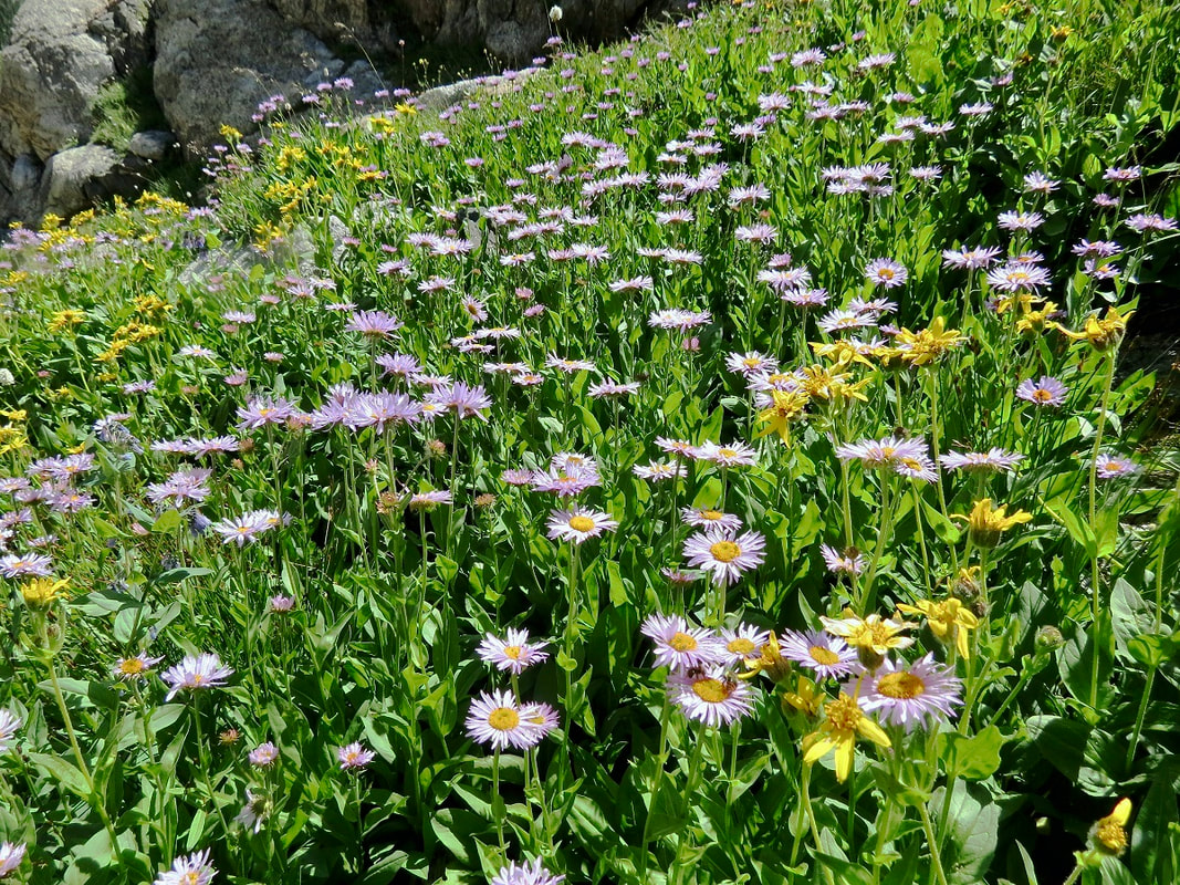
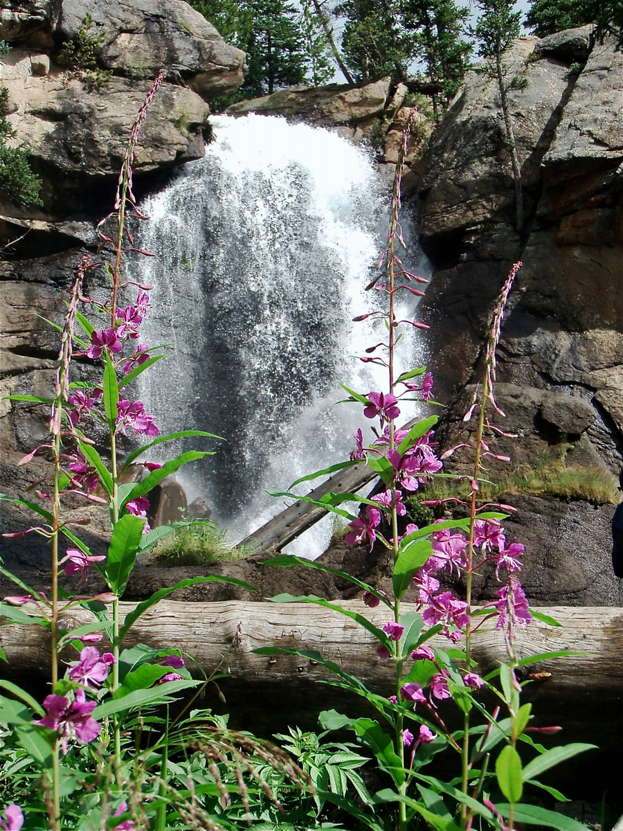
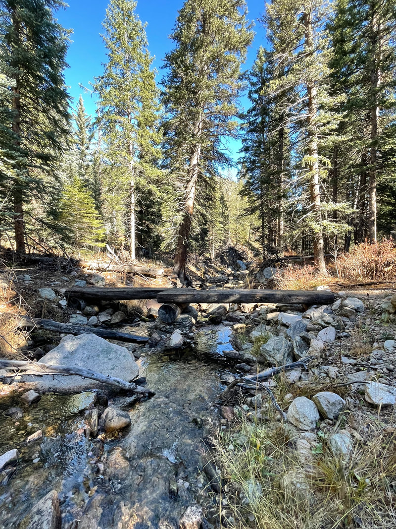
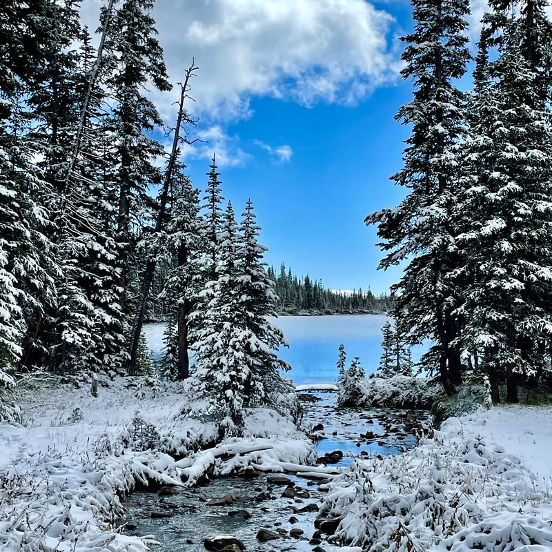
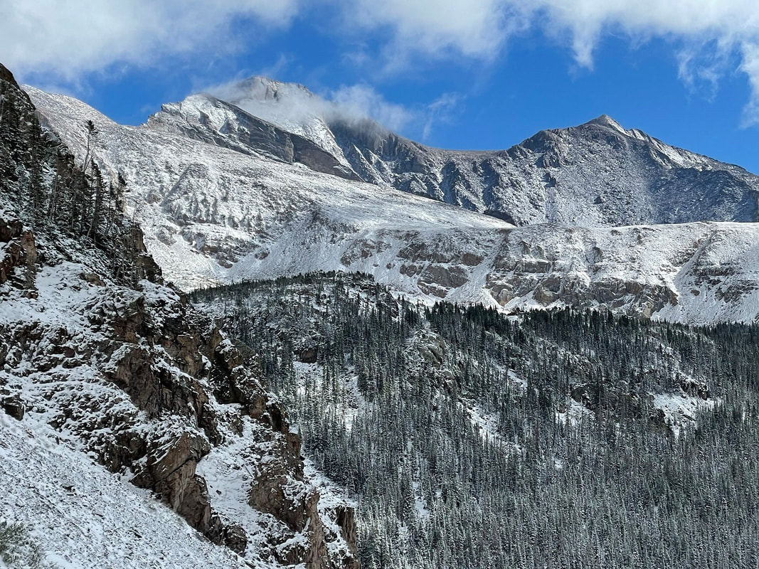
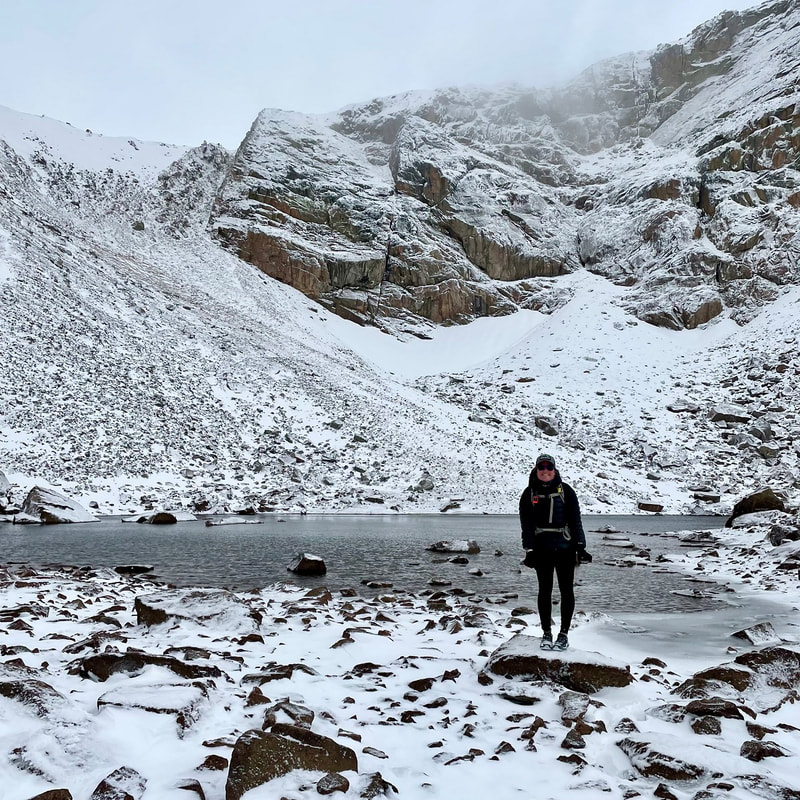
Story and photos by Marlene Borneman Editor's note: the hike to Timber Lake is just one of three of the best wildflower hikes in Rocky Mountain National Park included in the June/July issue of HIKE ROCKY magazine. Become a member today to read about the other two! TIMBER LAKE Mileage: 10.9 miles Round Trip Elevation gain: 2,000 feet Rating: Moderate - Strenuous Life Zones: Montane, subalpine Peak Bloom: July – mid- August COMPLETE TRAIL PROFILE This is terrific wildflower hike on the west side of the park through a broad range of habitats. The East Troublesome fire forever changed the landscape in some areas of the park's west side, however this trail was spared. Be aware, moose, elk and deer frequent this trail. The hike begins at the Timber Lake Trailhead approximately 32 miles from the Beaver Meadows entrance and 10 miles from the Grand Lake entrance. There are restrooms at the trailhead. A well-defined trail leads through a small meadow for a short distance. The trail then heads southeast through both dry and moist lodgepole pine and aspen forest where small-leaf pussy toes, Parry's milkvetch, showy locoweed, Richardson's and wild geranium, cinquefoil, and kinnikinnick are scattered. The tiny one-sided wintergreen, green-flowered wintergreen and pink pyrola are found here too under the shady canopies. 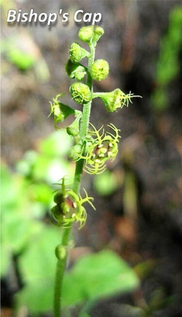 Heartleaf arnicas thickly fill in the hillsides with their bright yellow faces. In the moist forest you may see a flower that has a rather peculiar appearance. That is the bishops cap, also known as five-star miterwort. This flower often goes unnoticed even though it grows in clusters of a dozen plants or more. This is likely because it is very tiny and green in color. I take a hand lens just to gaze upon its amazing art work. Soon a bridge crosses Beaver Creek where the trail becomes steeper and switchbacks up southeast through a conifer forest. Plants that prefer a drier habitat can be found here such as pinedrops, white hawkweed, and Fendler's ragwort. 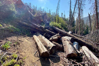 Landslide on the Timber Lake Trail. Landslide on the Timber Lake Trail. Within two miles there is a large landslide area that can be difficult to cross. There are large boulders and large downed trees to climb over and around. The stretch is about 70 feet wide before connecting back to the established trail. 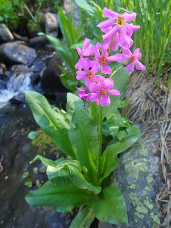 Parry's Primrose Parry's Primrose There are several small tributary streams and many seeps along this trail which provide the perfect spot for Hornemann's willowherb, twinflower, Parry's primrose and American alpine speedwell. Fringed grass of Parnassuss is the big prize to see in these wet shady areas. The hike continues along the lower slopes of Jackstraw mountain where mountain death camas, sickletop lousewort, fern leaf lousewort, red paintbrush, and fireweed prosper. Heading southeast the view soon opens out along a boggy area where white and green bog orchids maybe found along with star gentian, fringed gentian and elephanthead. After a short steep climb the trail comes to a beautiful meadow where subalpine daisies and saffron ragwort gather in masses. Heading southeast the trail steepens following the outlet stream to the lake. Tall chiming bells and heart-leaf bittercress fill in around the flowing waters. The meadows surrounding Timber Lake lakes outlet stream are very marshy. The soggy ground is loaded with marsh marigolds, globeflowers, and alpine laurel, also called mountain bog laurel. Timber Lake makes an idyllic setting for lunch taking in the view of the west side of Mount Ida. Marmots are part of the scenery at the lake so take care not to leave your pack unattended.  Marlene has been photographing Colorado's wildflowers while on her hiking and climbing adventures since 1979. Marlene has climbed Colorado's 54 14ers and the 126 USGS named peaks in Rocky. She is the author of Rocky Mountain Wildflowers 2nd Ed, The Best Front Range Wildflower Hikes, and Rocky Mountain Alpine Flowers. Click here to purchase Marlene's books
0 Comments
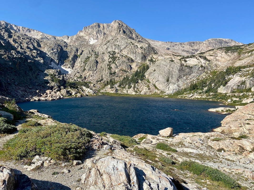
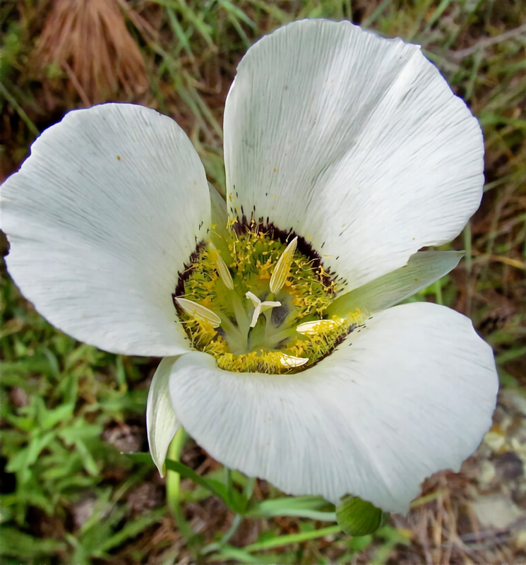
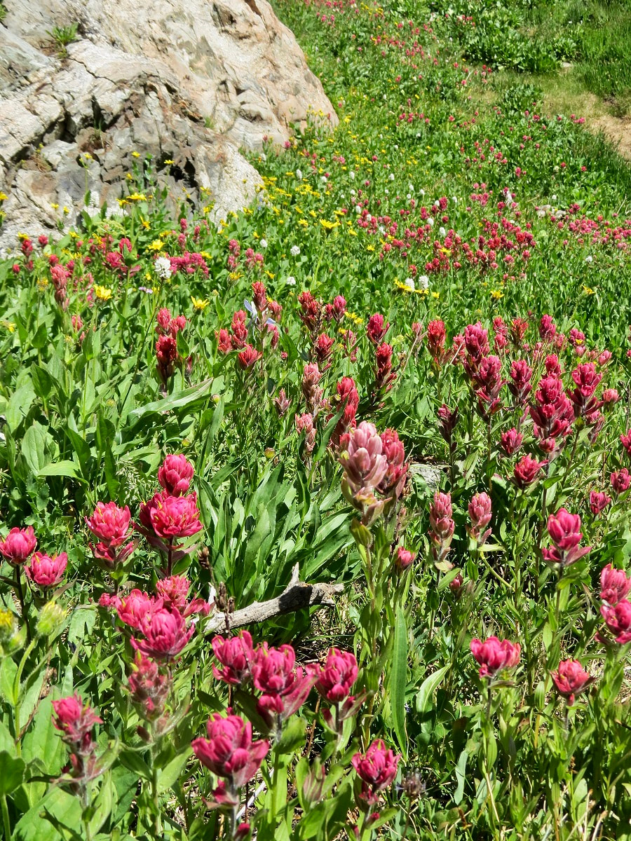
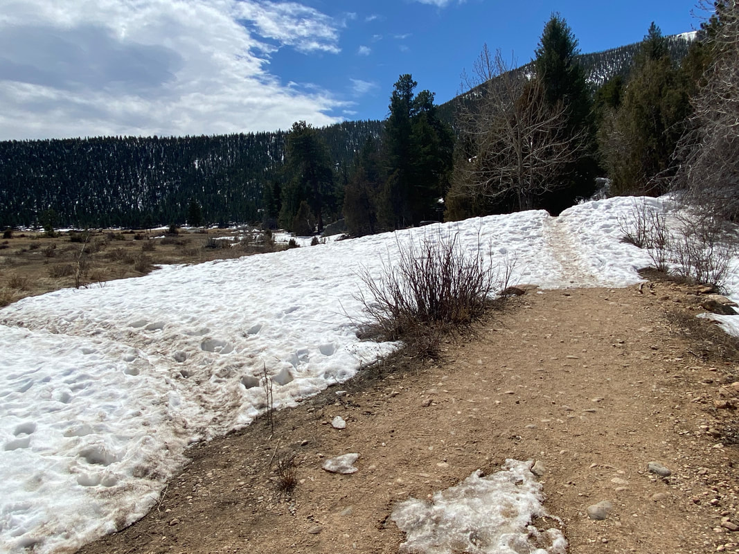
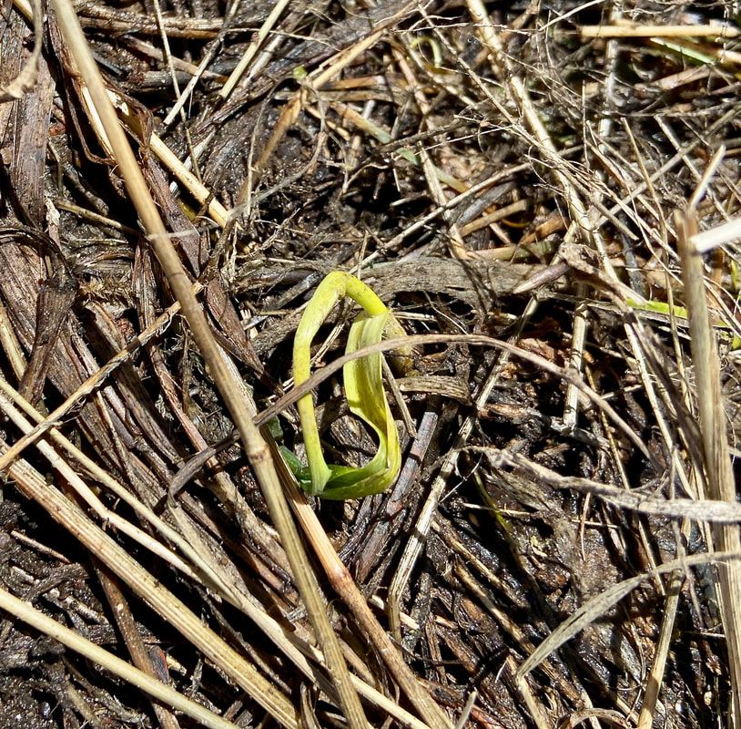
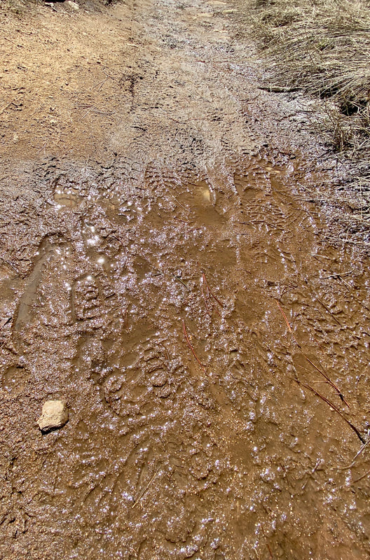
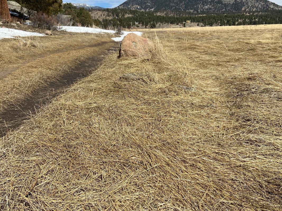
Story and photos by Marlene M. Borneman Editor's note: the hike to Bluebird Lake in Wild Basin is just one of three of the best wildflower hikes in Rocky Mountain National Park included in the June/July issue of HIKE ROCKY magazine. Become a member today to read about the other two! Whether you are looking to broaden your skills to identify flowers, find a rare plant, photograph a unique flower, or just to soak in the sheer beauty of an eye- popping field of color, wildflower hikes are a gratifying adventure for both body and mind. Whatever trail you decide to explore, simply delight in this world filled with wildflowers! What makes a good wildflower hike? Trails that weave through life zones provide many opportunities to view and identify a wide range of wildflowers. I feel so fortunate that Rocky Mountain National Park encompasses four life zones: foothills, montane, subalpine, and alpine where over a thousand species of wildflowers call home. I look for trails with a diversity of habitats that will in turn provide a diversity of flower species. Hike in peak bloom. “Peak bloom” refers to the most likely time to view a wide range of flowers with the greatest numbers in bloom. Keep in mind that there will always be early and late blooming flowers before and after peak bloom. There are seasons within seasons so expected appearances sometimes vary by weeks from year to year. Nature strictly controls blooming times with current temperatures and moisture levels. These variables fluctuate year to year making the ever-changing blooming times new and challenging. They determine a generous season or a sparing one. I want wildflowers hikes that offer a “wow” factor, making for a memorable moment whether it is a rare wildflower or an endless multi-colored meadow. An extra bonus are the many pollinators that visit these flowers. Interactions between wildflowers and pollinators are a wonder to observe. As with any hike, be prepared for ever-changing weather in the mountains. Dogs are not allowed on the trails. Plan to pay an entrance fee and have a timed- entry pass depending on your start time. Protecting Colorado's flora is an essential element to the enjoyment. Never pick wildflowers! Do not attempt to transplant wild plants. Be aware it is illegal to collect plants in the national parks and national forests. Please be mindful of the restoration signs in designated areas. Al Schneider, creator of www.swcoloradowildflowers.com, says it best: “Admire them in the wild and let them live.” Don't forget a hand lens and a wildflower guidebook to enhance your enjoyment. BLUEBIRD LAKE Mileage: 12.8 miles Elevation gain: 2,478 feet Rating: Strenuous Life Zones: Montane, subalpine, and alpine Peak Bloom: Late July-August COMPLETE TRAIL PROFILE This is spectacular hike in Wild Basin takes you from a moist montane forest to alpine terrain. Waterfalls, fast flowing streams, and a small pond are features along the way with the finale of a stunning alpine lake surrounded by high peaks on the Continental Divide—graced by magnificent wildflowers. Begin at the Wild Basin trailhead following the Thunder Lake trail. Along the first section, mariposa lily, wild geranium, sulphur flower, mountain harebell, wild rose shrub, Solomon's seal, Nuttall's larkspur, pinedrop, penstemon, and many more species line the fringes of the trail. 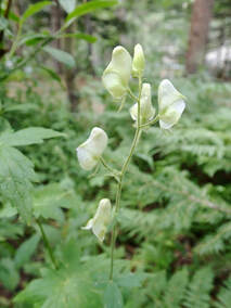 White Monkshood White Monkshood Following North St. Vrain Creek, Copeland Falls, Calypso Cascades are passed before Ouzel Falls is reached. Sections close to the creek are home for monkshood and cutleaf coneflower lining both the south and north sides of the trail. You may even spot the uncommon white monkshood. Delicate small plants can be found along here, too: wood nymph, pyrolas, spotted coralroot orchid, violets, one-sided wintergreen and pipsissewa. As Ouzel Falls is reached, cross a substantial bridge. Along the falls see sprinkles of Parry's primrose, columbines, cowparsnip, diamond-leaf saxifrage, and lovage. 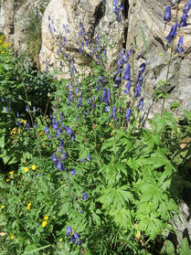 Columbian Monkshood Columbian Monkshood At 3.4 miles you will come to the junction with the Bluebird Lake trail. The trail takes a southwest direction and within 1.2 miles arrives at the junction with Ouzel Lake trail. Stay on the Bluebird Lake trail following a stretch along a ridge. The 1979 Ouzel fire is still evident here with old snags and small tree growth but lots of other vegetation has filled in. There are many red elderberry shrubs, wild raspberry, mountain strawberry and twin berry shrubs along this stretch. Soon you will look down on Chickadee Pond. It is worth going down to the pond watching your steps over wet, loose rocks. Chickadee Pond hosts yellow pond lilies and in the shallow water near the shoreline buckbean is noticeable. Just 1.75 miles and right under 1,000 feet of elevation gain to go. In late-July, mid-August get ready for a breathtaking display of wildflowers ahead. The high meadows below Bluebird Lake explode with a mass of brilliant hues of white, yellow, golds, reds, pinks, purples, and blues. Many shades of paintbrushes mixed in with elephanthead, subalpine daisy, American bistort, hairy arnica, nodding ragwort, arrowleaf ragwort, Colorado Blue Columbine steal the scene. The trail climbs steeply here with switchbacks coming to a short narrow canyon. Take your time watching for small cairns that will lead to the top with the overpowering view of the lake! Mount Copeland, Ouzel Peak, and Mahana Peak provide a grand backdrop. Arctic gentian scatter around the lake in mid-august- September. My eye always seems to catch more wildflower sightings on the way down so keep alert.  Marlene has been photographing Colorado's wildflowers while on her hiking and climbing adventures since 1974. Marlene has climbed Colorado's 54 14ers and the 126 USGS named peaks in Rocky. She is the author of Rocky Mountain Wildflowers 2nd Ed, The Best Front Range Wildflower Hikes, and Rocky Mountain Alpine Flowers. “Like wildflowers, You must allow yourself to grow In all the places People thought you never would.” - Winston Porter Story and photos by Marlene Borneman I spend hours in Rocky each spring/summer with my loupe and camera in hand identifying and photographing native wildflowers. I'm hopeful one day to spot a new or rare species. Rocky embodies several life zones: foothills, montane, subalpine, and alpine. Each life zone hosts a diversity of habitats providing a variety of plant life—from dry forested hillsides, open meadows, lush wetlands, rocky scree slopes, to sweeping tundra. Some wildflowers even prefer to plant their feet in disturbed areas caused by fire, floods, avalanches, animals, and humans. Wildflower hikes are a terrific way to explore the Park. With increasing interest in identifying and photographing native plants comes a need to protect these plants and their habitats. Leave No Trace Center for Outdoor Ethics and their Seven Principals have been around since 1990 (see November 2021 Issue of HIKE ROCKY). Did you know there are Wildflower Ethics too? I'm partial to the company of wildflowers. I look forward to meeting the first spring wildflowers sprouting up in March and April. This delightful time, however, often results in damage to plants, habitats, and trails. Spring is the time when nature's emergent gifts are most vulnerable. Locals refer to spring in the mountains as “mud season.” With melting snows and run offs the trails become muddy and filled with wide, deep puddles. The trails may be still icy and snowy. It is so tempting to hike around puddles/mud/ice/snow. But hiking around these obstacles causes “social trails” damaging vegetation that may take decades to heal. The well-known cliché, “Leave Only Footprints and Take Only Memories,” is a good start. However, a hiker’s footprint placed in the wrong spot can cause irrefutable damage. Trampled grasses start to resemble a trail and others will follow. The most beneficial act a hiker can do is walk right through nature's obstacles. It makes me happy to see boot prints on muddy trails! Mindfulness and wildflower hikes go hand in hand. Mindfulness is characterized by a slow pace, thoughtfulness, being gentle, nurturing, searching and curious, and being in the moment. Wildflower hikes certainly take on these characteristics. When in nature staying in the moment builds skills in identifying plants while ensuring their integrity. I get absorbed in giving my full attention to the minute details of flowers. I hike slower. I'm patient with locating plants and diligent in seeking out a heap of research. Every mindful step saves a plant, a trail and maybe an insect or two. I'm also mindful of the hard work trail crews perform in building trails for my recreational use. Shortcutting around muddy or icy trails makes their work twice as hard in repairs. Stay on established trails. The alpine tundra is especially open to destruction by hikers. The alpine tundra is a fragile ecosystem hosting several plant communities. Wildflowering on the tundra demands mindful thinking. Even moving a small rock can be a death sentence for a tiny alpine flower. Again, stay on established trails when possible. The alpine flowers are true survivalists adapting to several challenges. They endure a short growing season, strong winds and storms, freezing temperatures and often drought conditions. Despite these challenges alpine flowers have adapted to survive in the land above trees providing us with exquisite blooms. Alpine flowers grow low to the ground, protecting them from fierce winds while soaking up heat radiated from the ground. Deep tap roots spreading out to find water and securing to the thin soil also benefit these plants. Most alpine flowers are covered with fine hairs on leaves and stems trapping moisture, heat, and acting as a sunscreen. Damage to these tiny plants could take hundreds of years to recover, if at all. Hike on durable surfaces, rocks, hard-packed dirt, four inches or more of hard- packed snow. When hiking with others spread out like a fan to avoid walking over the same ground. When climbing high peaks stay on designated routes. Braiding trails on peaks causes erosion and loss of alpine flora. Place backpacking tents only on designated sites, keep a clean camp, and avoid removing rocks, dirt, etc. Not unlike a lot of wildflower enthusiasts, I enjoy capturing that flawless photo of my favorite wildflower. I also appreciate the thought that the rare wood lily out in the middle of a wet meadow is more beautiful than the one right next to the trail, but it is not. It is like that one raspberry in the very top of the shrub you must get but instead end up with a painful hand full of thorns. Valuing that flower next to the trail is the best choice. Removing tree limbs or other natural objects for that flawless photo can also be destructive to plants as these natural objects may provide shelter and/or nutrients. Be creative with photographing flowers without rearranging the area that is naturally theirs. I use a Canon power-shot SX40 camera combined long lens with mega zoom that enables me to get photos standing several yards away. I also use an Olympus E- M5 Mark II with an interchangeable macro lens. Consider a pair of binoculars specifically developed to view the minute details of flowers, butterflies, birds Consider a pair of binoculars specifically developed to view the minute details of flowers, butterflies, birds from a distance. A good choice is Pentax Papillion II series. Many years ago, I did not know much about outdoor ethics and I'm sure I may have caused some damage. These days I'm mindful where I place my feet, my hands, my backpack. Being mindful in the natural world takes practice. Here are suggestions to make mud season comfortable for the hikers and safe for plants:
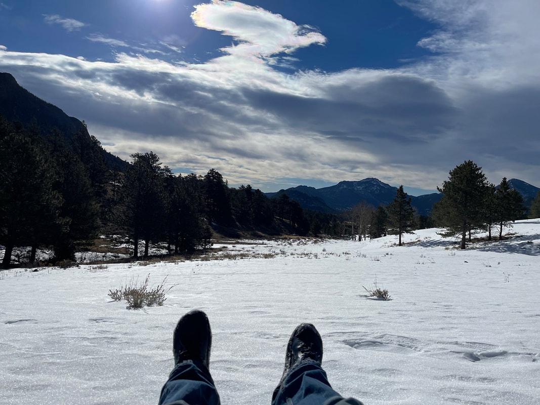
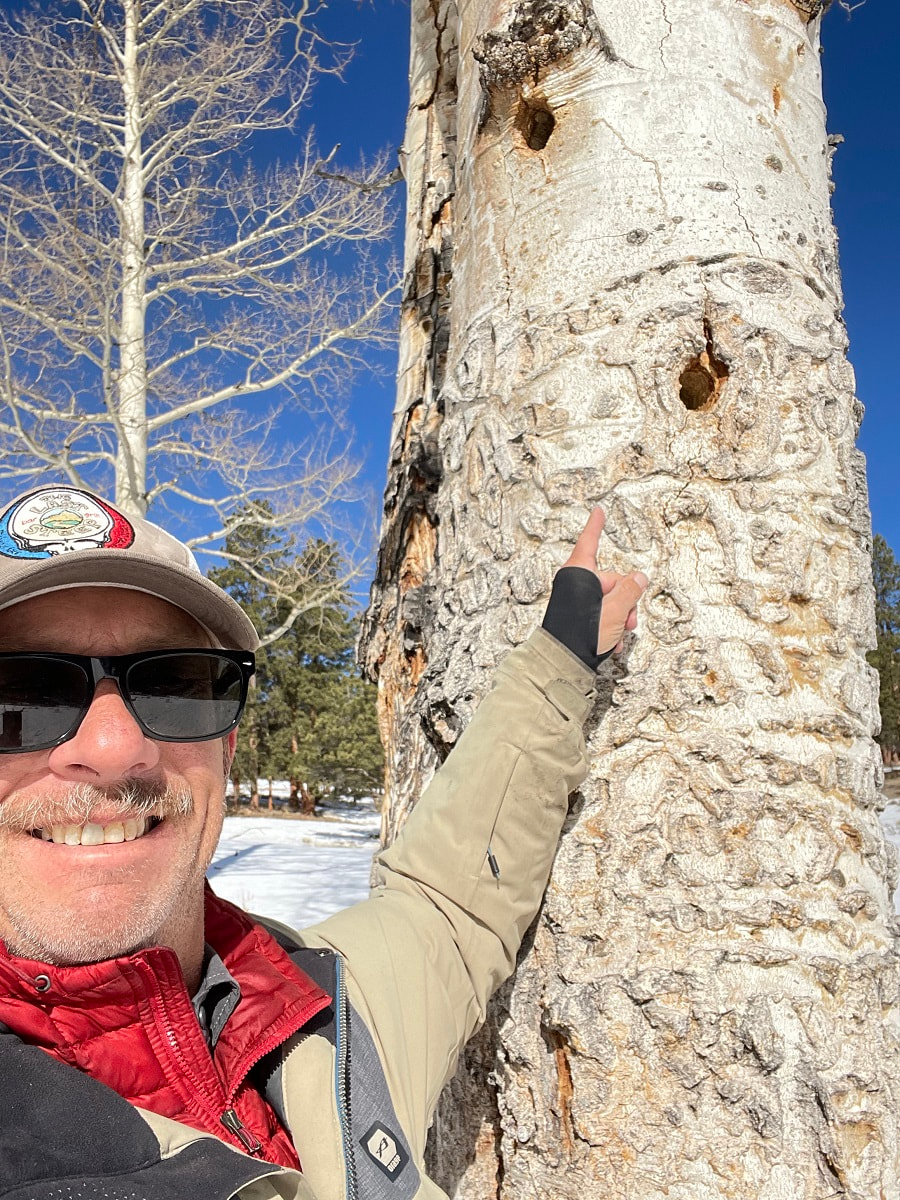
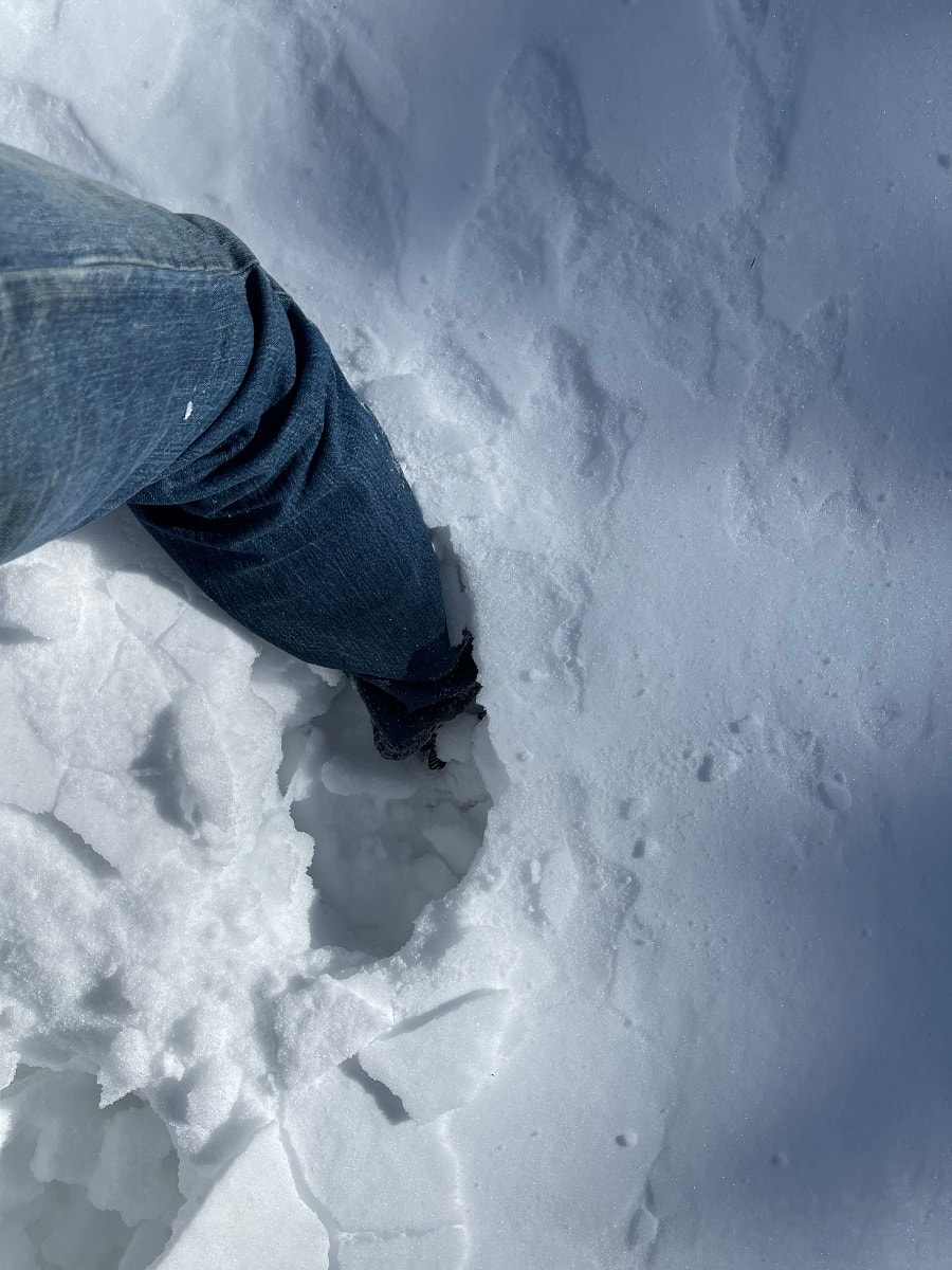
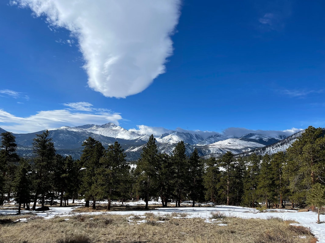
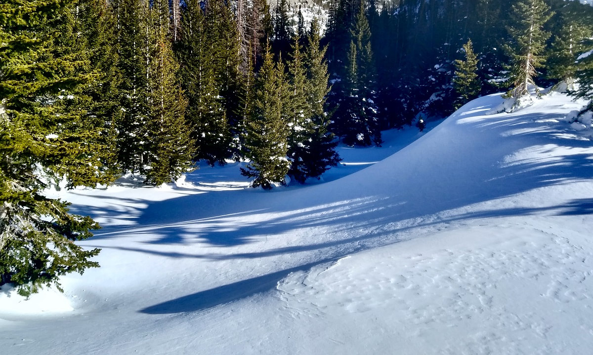
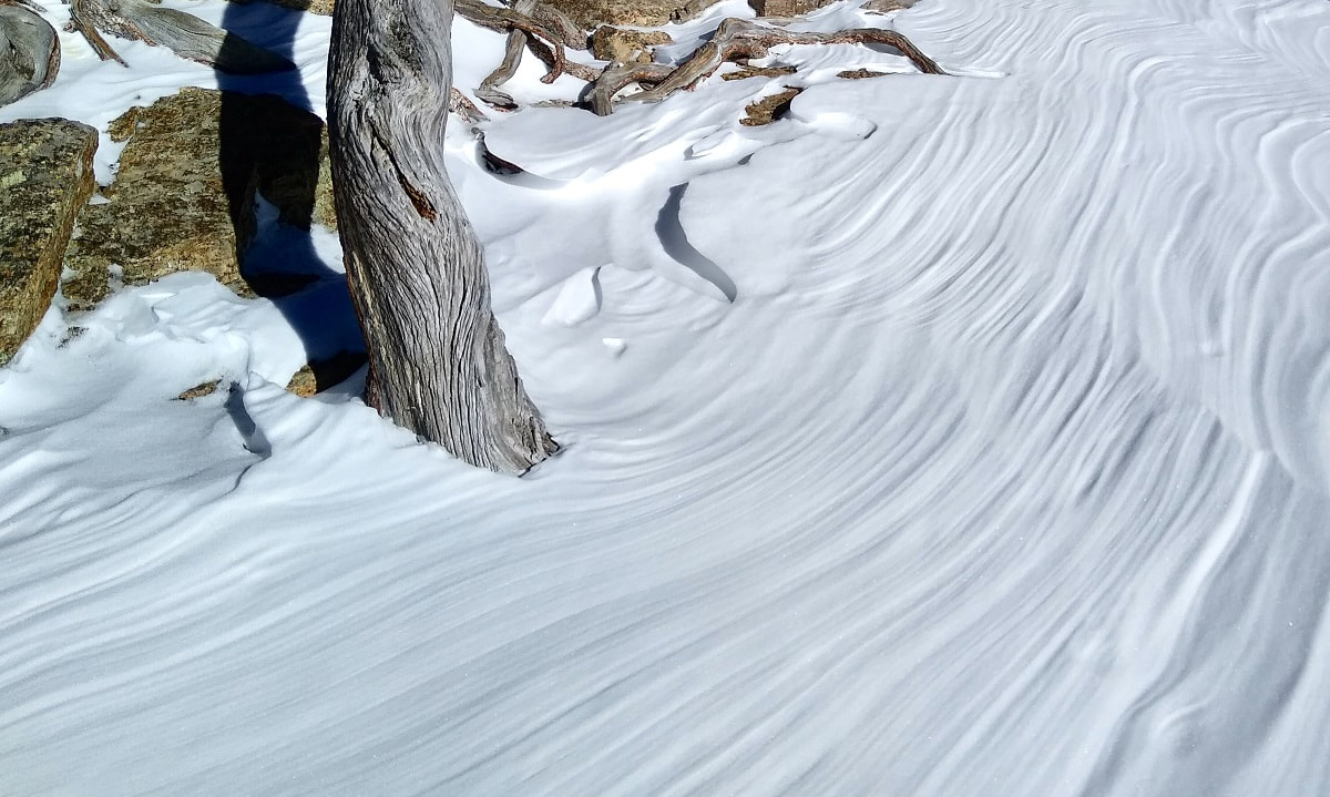
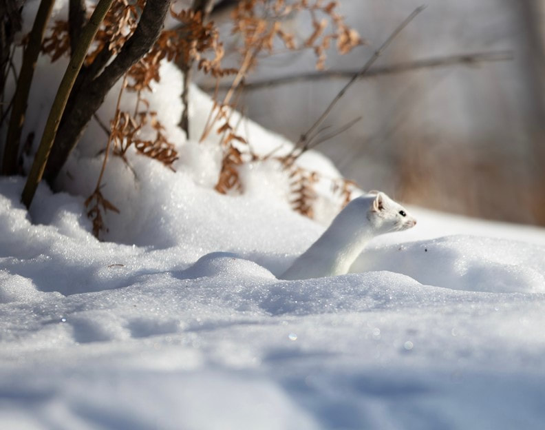
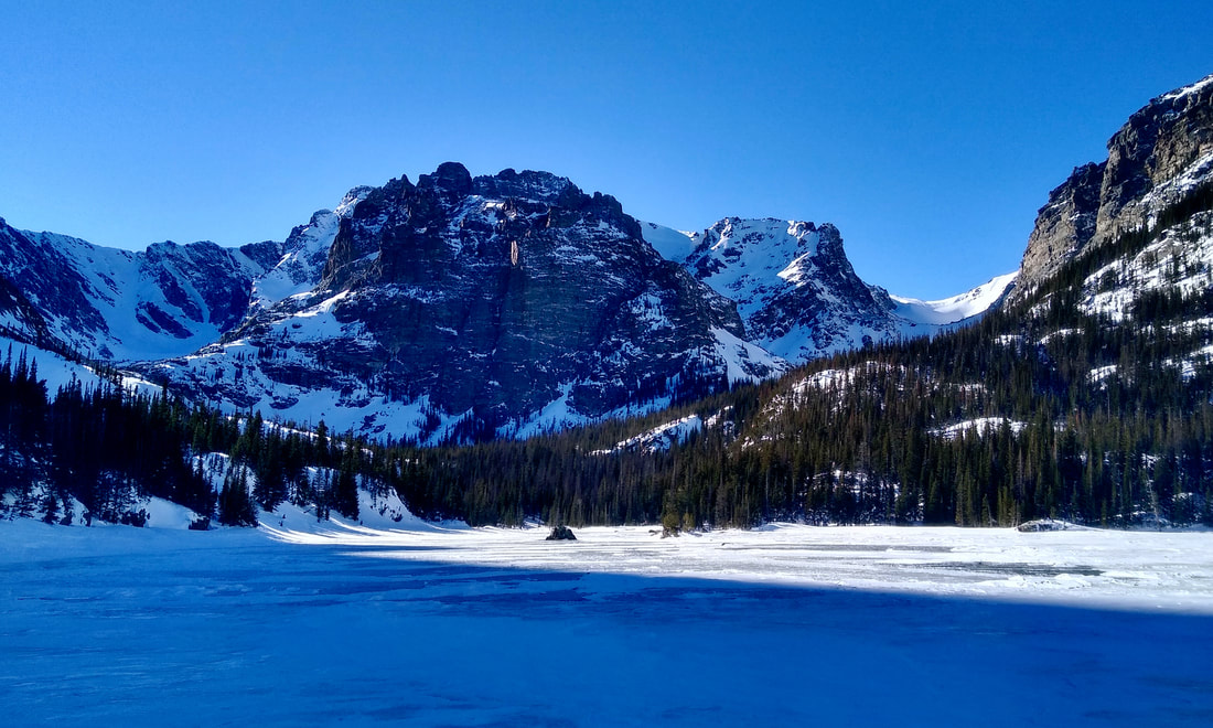
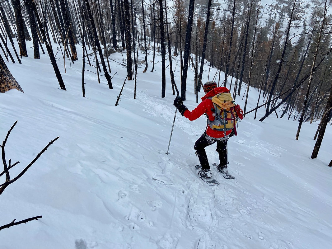
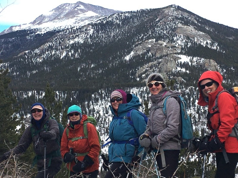
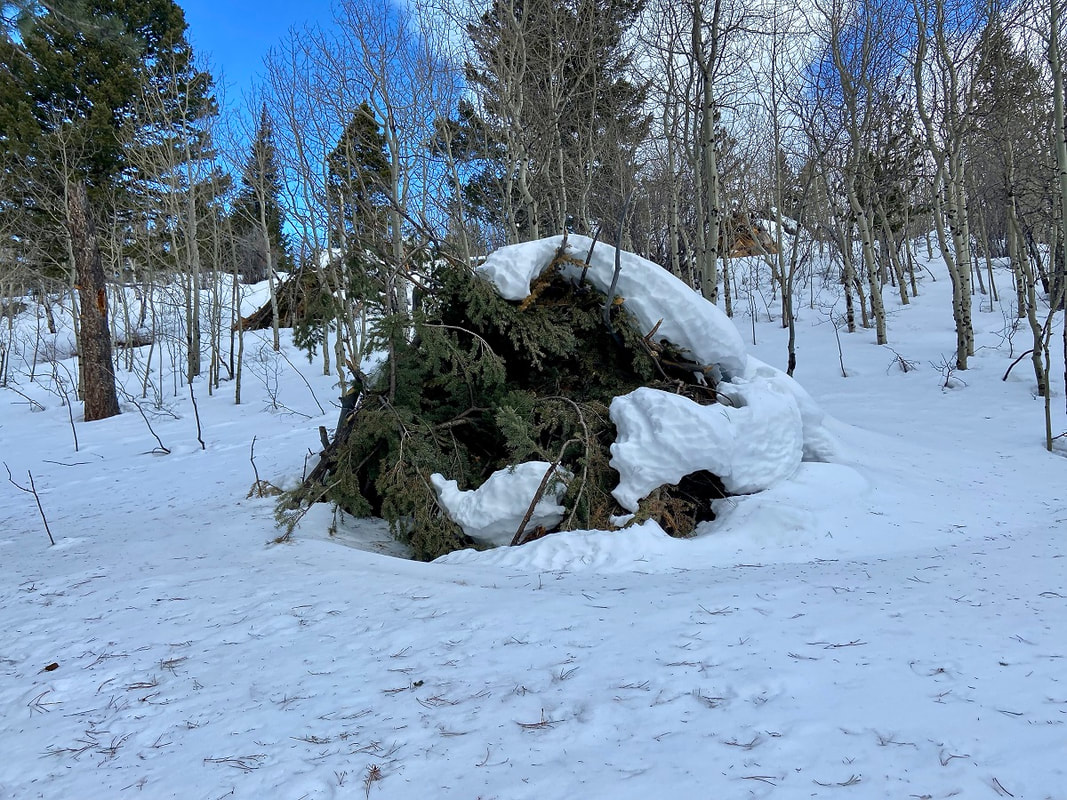
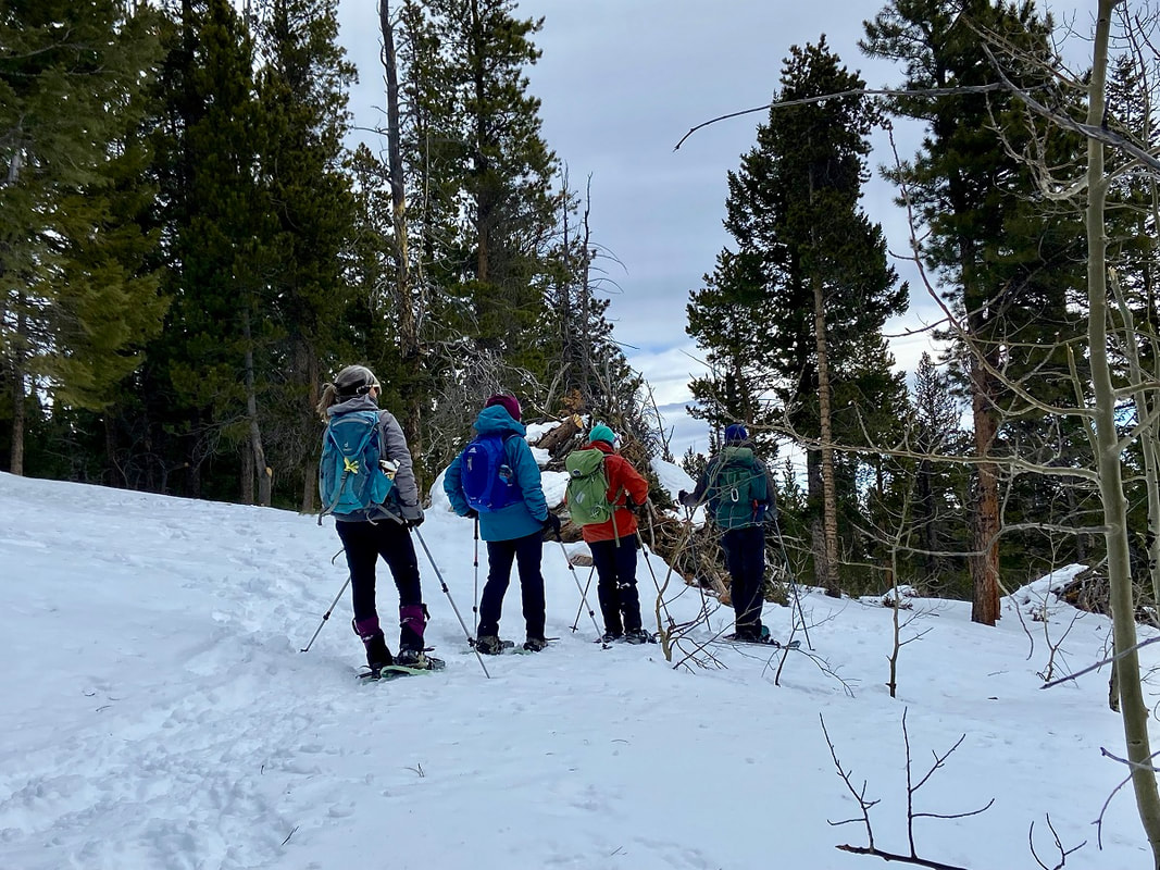
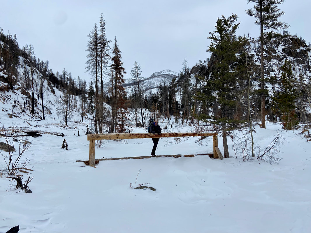
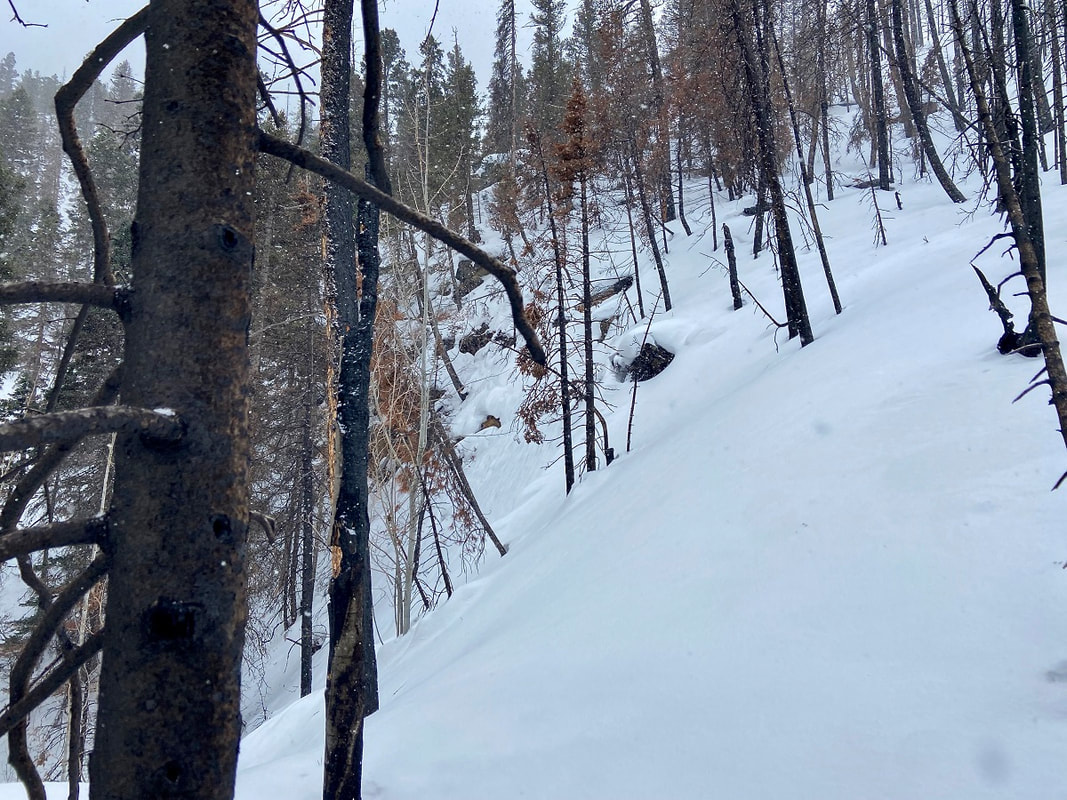
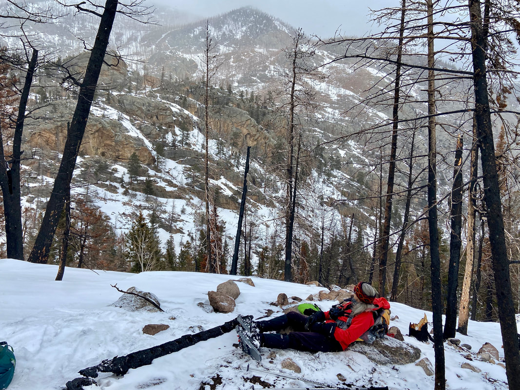
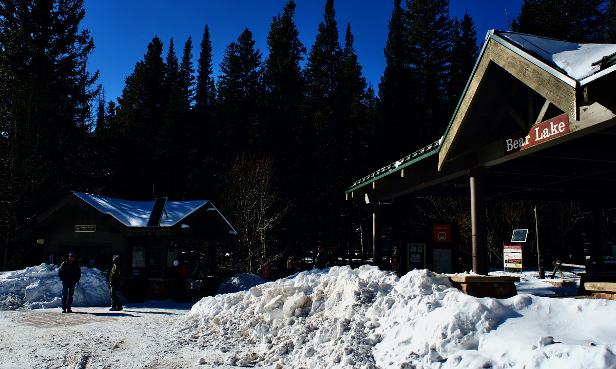
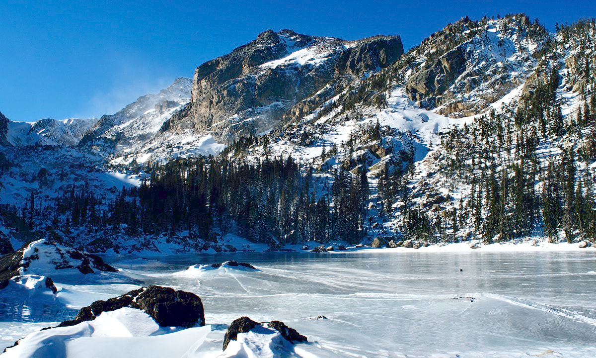
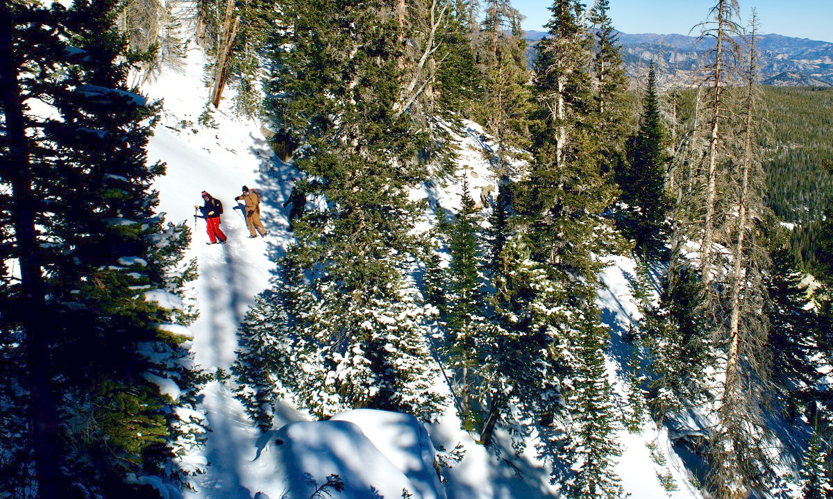
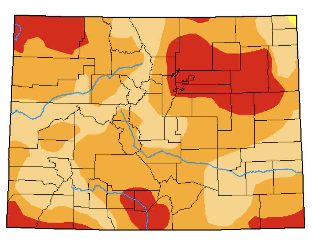
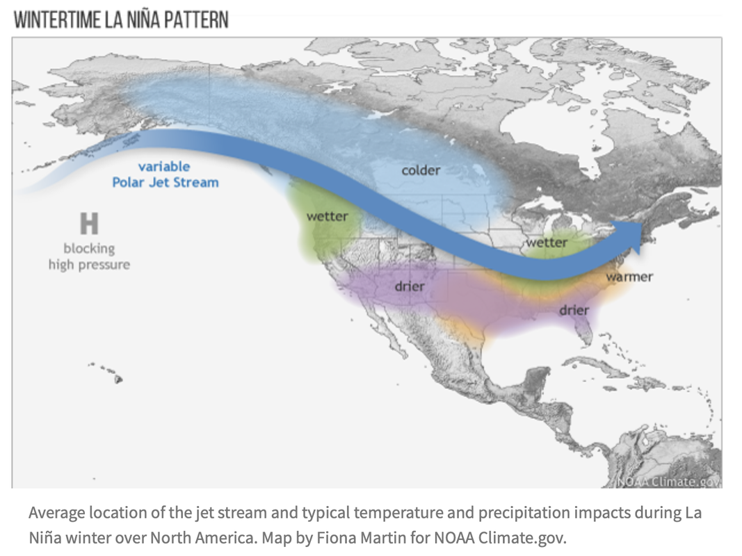
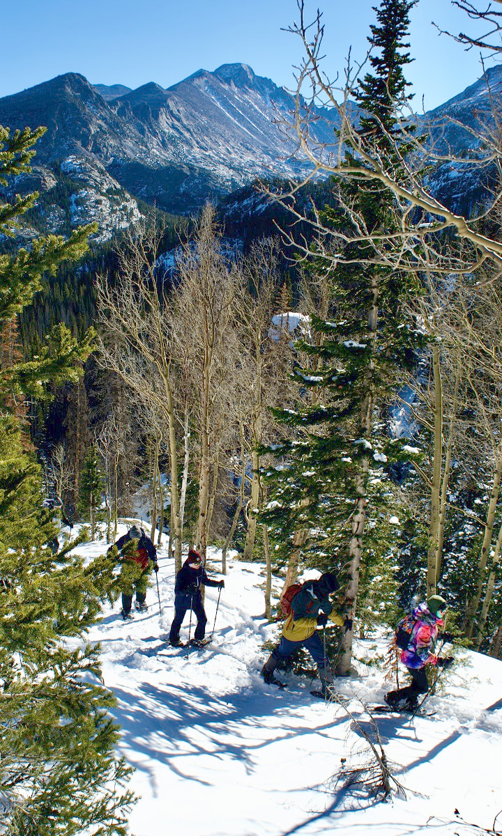
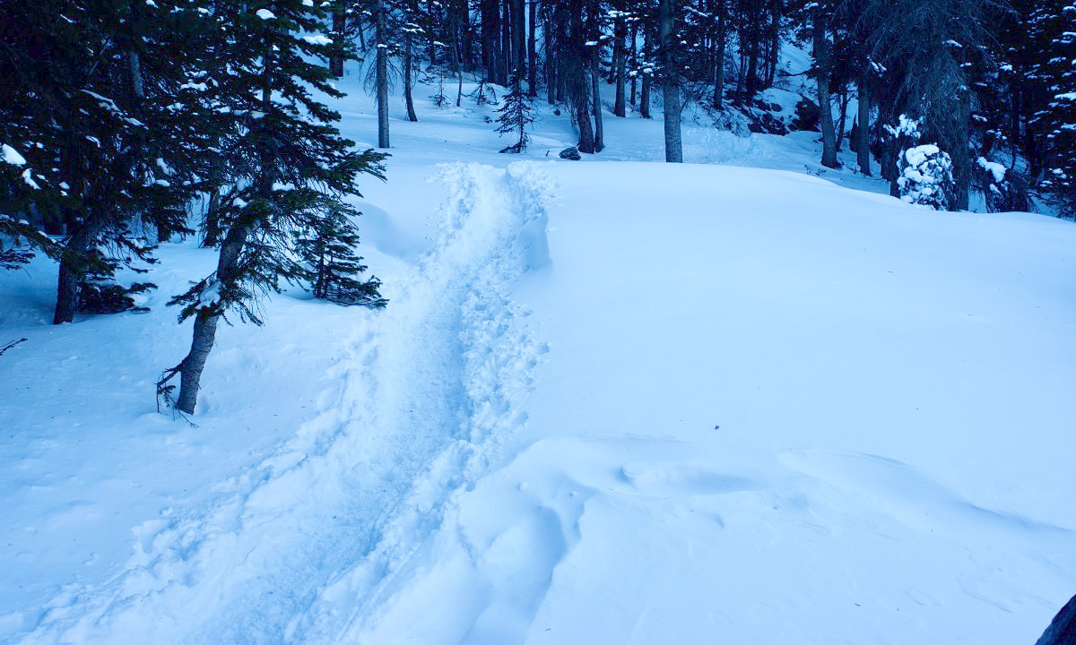
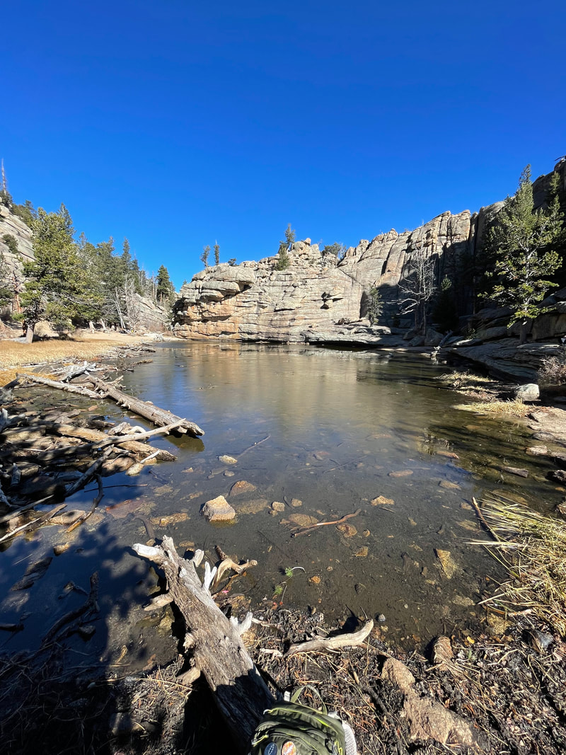
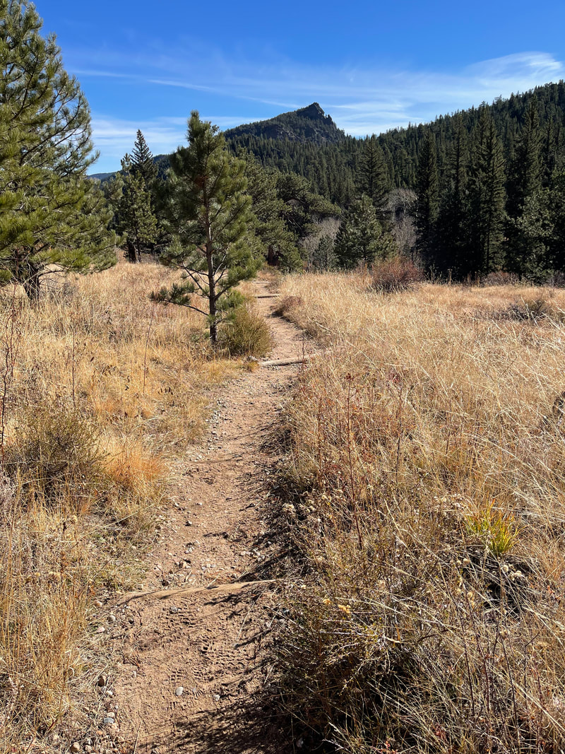
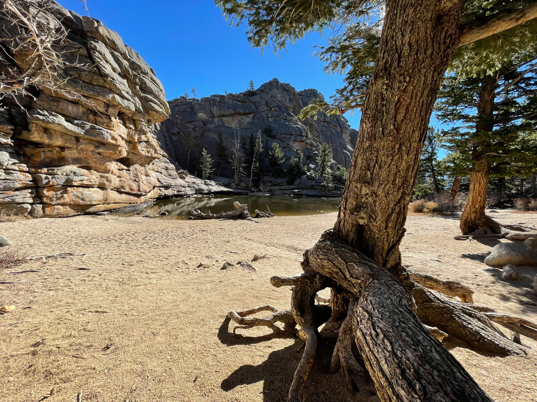
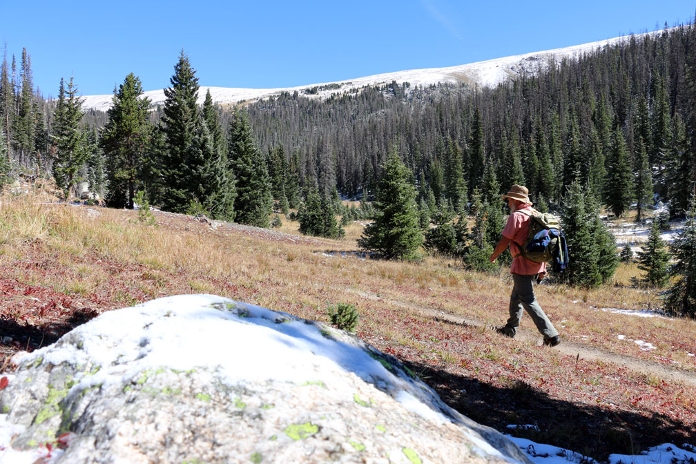
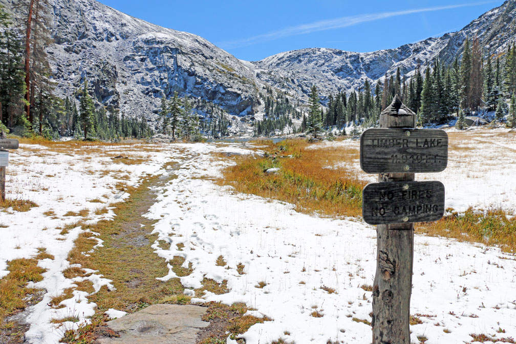
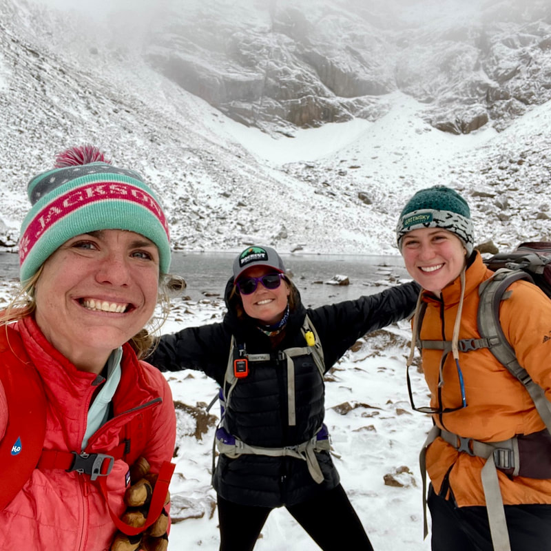
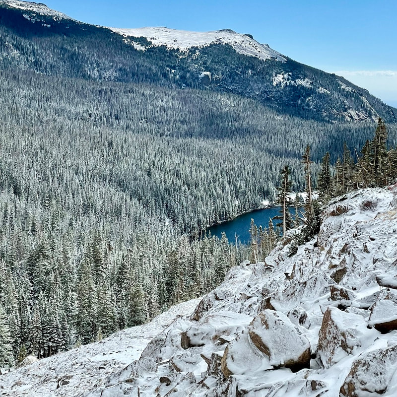
My simple message to wildflower devotees is awareness. Hikers using a mindful lens are truly diligent about protecting our natural world. The reward is a bountiful wildflower season year after year!  Marlene has been photographing Colorado's wildflowers while on her hiking and climbing adventures since 1979. Marlene has climbed Colorado's 54 14ers and the 126 USGS named peaks in Rocky. She is the author of Rocky Mountain Wildflowers 2nd Ed, The Best Front Range Wildflower Hikes, and Rocky Mountain Alpine Flowers. Purchase her books here story and photos by Jason Miller There is no shortage of wonderful hikes in Rocky Mountain National Park. This month's hike that I am featuring is one that almost anyone can conquer. It does not involve any climbing or bouldering but brings the essence of the Rockies from start to the finish. Today (in early April) is starting out to be a great day. It is around 50 degrees with a low blowing wind coming over the mountains. Sunglasses and coffee in hand, I drove past the Beaver Meadows Visitor Center and onto the entrance to the park. Once arriving at the Beaver Meadows entrance, I knew that I wouldn't see many people out here today. There is no one in line at the gate. I entered the Park and drove past the Beaver Mountain Loop Trailhead and up to Deer Mountain Junction. Across the street from the Deer Mountain Trailhead is a sign and a trail off into a vast meadow peppered with spruce and snow. Beaver Mountain Trailhead Starting down the trail I was quick to notice that there were not many footprints in the snow. People must rarely go on this trail. The walk involved a gentle downhill slope with no snow on most of it and some areas with snowpack. I chose to leave my micro spikes and snowshoes at home this time. I didn't need the micro spikes because the snow packed areas were slushy. This was due to the awesome weather that we have been having as of late. As I was going down the trail, there were signs of elk being here, birds chirping and once again, only a few footprints. I stopped to snap a picture and noticed that there is nothing out here but total silent nature: still, but full of life. Crazy, every time I come to the Park I see or feel something that is new to me. I am blessed to be one of the lucky few to call this place home. TOTAL SILENT NATURE! Just a little farther down I come to a fork in the trail. The sign gives me a little direction of where to go. Right or left. I chose right and went across some grassy spots and snow-covered Beaver Creek. Now there is no trail, no footprints, only snow over a huge meadow. I went for it and tried to continue. Heading toward a group Aspens I realized that snowshoes would have been a great idea. I made it to the trees and took a well- needed rest. Looking up, I see all sorts of evidence of woodpeckers: numerous holes in the large Aspen trees. This is a woodpecker condominium. There are multiple holes that have been created by these awesome, sometimes annoying birds. I tried t go a little farther up the meadow and it proved t be more than I wanted to deal with. I was sinking up to my knees in the snow, I turned around and headed back to the trees again. went onward to the sign that put me in this direction. OK, now let's go the other way. I walk about five minutes and came upon the same scenario. Snow with no path or footprints to be found. Sinking to the knees. NO THANK YOU! I really should have brought my snowshoes. I turned around again and headed back toward the parking lot. On the way back to the trailhead, I find myself picking up trash. There have been very few hikers on this trail leading to NO TRASH. Amazing. I stopped a couple more times for more photos. After making it back to the parking lot I checked my time. This only took 1.5 hours. I was planning a little longer but without snowshoes …no go! Having some extra time, I decided to pick up trash. Starting at the parking lot I was in and continuing to all designated areas around Deer Junction. It is incredible the amount of trash that is left behind. I left there and decided to clean up every pull-off area on my way out of the park. One by one, I drove to admiring the views that RMNP has to offer. At the pull-offs there are socks, masks, bottles, cigarettes, cans, and metal. All of us stop and take pictures at these spots but it is dirty. I challenge you. Yes, YOU! Do not leave Rocky the same as when you got here. Leave it better. Go out of your way to look for and pick up trash all along the way on your future hikes. Only you and I will lead the way to a cleaner and more natural park. This one picture shows just a sample of what is out there in our beautiful Park: hazardous to the animals and detrimental to the landscape. I have tagged this photo on social media to show what is out there and what we can do. #keepourparkclean  Jason Miller, 49, is a resident of Glen Haven and is married with two children. Before moving to the area, he used to work as broker for Nestle USA and H.P. Hood milk company. Today, he is the owner of The Rustic Acre (vacation rentals in Estes Park) and co-owner of Lightbrush Projections. editor's note: this story is pulled out in its entirety from the February/March edition of HIKE ROCKY digital magazine. For more information about the magazine visit this page by Dave Rusk I had been crunching snow for a good thirty minutes. There were others on the trail before me, but the trail was not very packed down. I passed a few people returning from their journey who expected the trail would be easier to walk on, wishing they had snowshoes. We stopped to visit for a bit, then I crunched on, through the aspens and pines. I looked over the overlook to Glacier Creek, and then pressed on to Alberta Falls, now entirely snowed under. There I pause briefly. It is mid-afternoon and the sun is casting rays through perfectly blue skies. The temperature is comfortable and cool. No one has ventured down into the creek through the fresh snow to snap pictures of the hidden falls so I took a pass at that, too. I stepped back on the path and continued my meander through the frozen Loch Vale to the Loch, with the sound of cold snow crunching under my snowshoes. I rounded a few bends into a clearing and then paused again, turning toward the vista to the north of the distant Mummy Range. I noticed the silence around me. It isn't a deathly silence but a silence of stillness. Something about the snow makes the quiet more silent than in the summer. It is as if the snow has absorbed all sound. But the most notable sound that is missing is the wind, moving through the pines, sometimes as a drifting breeze moving caressingly between the needles, but more often as a raging roar crashing down from the Divide. But on this day I notice that it is so calm nothing dare moves, not even a flit from a mountain chickadee or a dark-eyed junco. Everything is taking a pause in the stillness, nothing wants to disturb it. I gazed silently at the long winter blue shadows casting patterns on the white canvas snowscape, imagining that even those in the subnivean zone are pausing and taking in the quiet sound of the stillness. I turned and began to crunch my way around the glacier knobs. In this zone, mice and voles and shrews make their winter home with tunnels and pockets and rooms that are connected to the world above by narrow shafts breaking to the surface. Tiny little tiny paw prints radiate visibly across the snowscape from little round entrance holes. The subnivean zone is their cozy winter protection from the harsh and brutal winter of the above world. As the first snows of winter begin to fall, pockets of air are created by overhanging rocks and sturdy plants drooping over. These create a network of canopies while furry little critter balls huddle up and let the snow surround them. In these early snows, the ground in some places radiates enough warmth, in a process called sublimation, that it melts the snow into a gap of water vapor which then freezes to form an icy, crystal roof. No doubt, the warm bodies of these small inhabitants, scurrying through their tiny tunnels under the snowpack, quickly melts and freezes the ceiling and walls of their protective tunnels each time they go from room to room. No matter how cold and harsh the outside world becomes, life in the subnivean zone maintains a steady 0-degree celsius temperature, sufficient for winter survival, if not occasional comfort in a nest of dried grass and downy feathers. It would be understandable if these furry little creatures, scurrying about from nest to food storage to tea room, might become complacent, when out of nowhere the nose and teeth, or griping claws of a predator, suddenly come crashing through their crystalized roofs, bringing with them the cruel, harsh reality of the world above. The ermine, pretending to be so cute in its snowy white fur coat, flicking its black tip tail back and forth, quickly slithers down an open-air shaft, with hungry teeth gnashing for a meal. No doubt cautious mice and voles freeze in their cute little tracks if they hear anything overhead, doing whatever they can to survive until spring. With a fair amount of effort, I climbed my way out of the winter trail that follows up Icy Brook, topping out at the Loch. There, in a rare day of no wind, I gazed up to Andrews Glacier, basking in late-day sun, and then glanced left around the Taylor Peak massif to Taylor Glacier, which has spent its day in the cold shadows of Powell Peak. I admired the contours of the wind- sculptured snow around the edge of the frozen lake shore and take note of the last winter sun about to drop behind Taylor Glacier, knowing that when it does drop behind the ridgeline, so will the temperature. I take a break on the rocks on the eastern shore of The Loch to appreciate the calm of the day. Then I headed back down the narrow open shaft of my life and back into my own little protective subnivean zone. References: https://www.nps.gov/romo/learn/education/upload/Winter-Ecology-Teacher-Guide-for-web.pdf tetonscience.org walkingmountains.org  Dave Rusk has been sauntering and taking photographs through Rocky Mountain National Park for decades. He is the author publisher of Rocky Mountain Day Hikes, a book of 24 hikes in Rocky, and the website of the same name. He is the publisher of HIKE ROCKY Magazine and an important content contributor to all of these endeavors. story and photos by Marlene Borneman editor's note: this story is pulled out in its entirety from the February/March edition of HIKE ROCKY digital magazine. For more information about the magazine visit this page Finch Lake: 10 miles round trip Elevation: 9,912 feet Elevation gain: 1,432 feet Finch and Fern Lakes are destinations I have been to many times in every season. People often ask me if I get tired visiting the same places over and over. The answer is always “no.” For me each outing in Rocky is different. Sometimes I go solo or with a variety friends, different wildlife sightings, weather, terrain, and seasons. The surroundings and circumstances change, making each excursion a unique experience. I've been surprised by fresh avalanche disturbances, high water, bridges out, snowdrifts, downed trees, a new wildflower, and fresh conversations. On January 9th I started with friends to snowshoe to Finch Lake from the Wild Basin trailhead located in the southeast corner of RMNP. Wild Basin is a place very dear to my heart. This section of the park is “wild” and packed with alpine lakes, deep flowing rivers, waterfalls, high majestic mountains, and imposing passes. Strapping on snowshoes, we started out on a snow- packed trail. Soon, we headed east, contouring the north side of a long moraine. This part of the trail is frequently icy, but that day we found deep fresh snow. As we gained the ridge and then over, we dropped down to a pretty meadow with aspen groves. In summer months, this meadow would be filled with a variety of wildflowers, but that day it was a blanket of snow. Not only did we find substantial snow but what seemed like hundreds of slash piles randomly stacked throughout the meadow. The scene evidenced the hard work of fire management staff in a fuel reduction project. We circled the maze of slash piles with no trace of the trail. It was very disorienting to be among these scattered slash piles. There were snowshoe tracks going in every direction, possibly the fire management crew or perhaps some other disoriented hiker. We were certainly not lost. We knew about where we were on the map but didn't know exactly where the trail was located. It was then I realized how much trees give definition to trails, especially in winter. 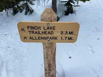 Looking west I kept heading across the meadow and then into heavy forest and whoa - I see the first trail junction signage for the Allenspark area. I knew the trail from here goes steeply up with several switchbacks to the next trail junction. It helped that the slash piles stopped at this first junction so that trail became more distinct through the stands of lodgepole pines. After a steep climb through deep snow, we came to the Allenspark Trail/ Finch Lake Trail/Calypso Cascades junction. By now it was noon and time for lunch. We all took pleasure in the stunning view of the south side of Longs Peak, Mount Meeker, Pagoda Mountain, Mount Alice, and Chief's Head. The Finch Lake trail was not broken from this point and we wisely decided to head back retracing our steps. We did not reach Finch Lake, nevertheless a worthwhile day exploring. Fern Lake: 7.6 miles round trip Elevation: 9,540 feet Elevation gain: 1,390 feet On a chilly January 21st morning my husband and I started out for a snowshoe trip to Fern Lake. The trailhead is tucked in the northwest corner of Moraine Park. In winter, this hike requires an extra .7 mile of hiking on a road to the trailhead. In the 1900s, the Fern Lake Trail Trail was used by lodge owners, hikers, horseback riders, snowshoers, and skiers. Fern Lake Lodge was comprised of a central lodge and several cabins. Weary visitors could buy refreshments and/or spend the night in the comforts of the lodge enjoying stories told by the owners. It was a popular winter destination. However, in the forties and fifties it was open only in the summer months. The lodge experienced several owners and unfortunately many pilfers and vandalism. The lodge was closed by the Park Service in 1952 and then the remaining structure was burned by the Park Service in 1976. The Old Forest Inn was another well-visited lodge located three and half miles from the trailhead above The Pool. This was a smaller lodge with several platform tents scattered to serve visitors. The Old Forest Inn was closed in 1952 and then dismantled in 1959. Now an established campsite on the site bears the name Old Forest Inn. Fern Lake Trail was listed on the National Register of Historic Places in 2005 to commemorate the role it played in the Park's tourism industry. 2012 brought a fire to this trail caused by an illegal campfire. The rements are still evident today. In 2013 a major flood along the Front Range also impacted the Fern Lake Trail washing out a section. Then in October 2020 the East Troublesome Fire brought more devastation to the area. The trail was closed for some time as burned down trees covered the trail, unstable standing trees, burned bridges and hot spots remained for a long period. If the Fern Lake Trail could speak, what would it say having witnessed so many early visitors in every season and surviving destruction of fires and floods? We have hiked this trail in summer and winter since the East Troublesome fire finding it very altered and very resilient. What stands out for me, besides the burned forest, is that the Big Thompson river is now very visible from the trail whereas before thick foliage hid the view. We found the trail to be easily negotiated with just micro-spikes up to The Pool.  We carried our snowshoes, so we were prepared when we reached deep snow ahead. I had forgotten how stunning the scenery is along the Big Thompson River especially in winter with icy formations in the snow-covered river with fast moving water peeking through. We first come to Arch Rocks so named for the huge granite boulders sitting upright at angles. As we walked through Arch Rocks we found several piles of elongated rounded ends “milk-dud” shaped scat and a few moose tracks in the icy trail, but no actual moose. We worked our way along the river as the trail became steeper. In 1.75 miles we reach a place simply called The Pool. Named for the deep granite bowls holding churning waters at the confluence of Spruce and Fern Creeks with the Big Thompson River. On that day The Pool was stilled by ice and snow. After crossing a sturdy bridge over the Big Thompson River the trail goes up to the right with a sharp switchback. We found the snow had drifted over the trail resulting in a steep slope. We saw others had avoided this crossing and gone straight up to contour over a small rise and back down to the trail. We did the same avoiding the steep snowbank. We quickly traded our micro-spikes for snowshoes. Little did we know what waited for us further up the trail. We crossed a large new bridge spanning Fern Creek. The bridge was recently replaced due to the East Troublesome Fire. We again found ourselves in a midst of charred trees gaining altitude at a steady rate along several switchbacks. Despite the fire scars this area still shows off a true winter wonderland with views up Spruce Creek. The higher we climbed, we encountered more huge snowdrifts across the trail. These snowdrifts made it difficult to stay on the trail. We wandered up and down and around these huge snowdrifts and finally got to a spot we thought was the long switchback to Fern Falls. We snowshoed towards the sound of fast- moving water and then looked down at the river below but no falls. We backed tracked a bit and then climbed back up to what we were sure was the switchback above the falls. The terrain became one large steep snowdrift! In each direction no standing trees just open burned forest. Again, a very disorienting situation. We crisscrossed several times to the area around Fern Falls, but no falls. We had not seen anyone all day and then suddenly two men appeared coming toward us. After a greeting they explained they did not find Fern Falls either but had arrived at Fern Lake via GPS. We all commiserated how different the landscape appeared with the huge snowdrifts and burned forest. As the two men headed down, we found a perfect overlook for a well-deserved lunch. It was a humbling spot overlooking Forest Canyon and Tombstone Ridge. We are kind of feeling discouraged by not reaching Fern Lake or even Fern Falls! Suddenly, it begun to snow heavily. Laughing out loud feeling a bit silly, yet acutely aware of our charmed day we took our time eating lunch appreciating the location (wherever that was?). “It's not about the destination, it's about the journey.” This familiar quote came to mind after these two recent snowshoe trips. I thought “It's ok not to reach the day's goal.” There is no measurement for experiences, friendships, and good old-fashioned exercise in the great outdoors.  Marlene has been photographing Colorado's wildflowers while on her hiking and climbing adventures since 1979. Marlene has climbed Colorado's 54 14ers and the 126 USGS named peaks in Rocky. She is the author of Rocky Mountain Wildflowers 2nd Ed, The Best Front Range Wildflower Hikes, and Rocky Mountain Alpine Flowers. Story, photos & video by Dave Rusk The Bear Lake trailhead is, without a doubt, the most popular trailhead in Rocky Mountain National Park. I think it's fantastic that there's a mountain lake so accessible to a great many people who otherwise might never get to see such majestic beauty. For many others, going a farther 1.1 miles to Dream Lake is challenge enough but with an unmatched mountain experience. It's always astonishing to me that this trail isn't more beat up and worn out given the thousands of hikers that trek to see the Dream each year. Tucked off from this well-visited trail is the Lake Haiyaha trail. Even though it's only 2.2 miles from the Bear Lake parking lot, the lake is often overlooked by the many Dream Lake trekkers. In fact, because the Bear Lake parking lot is so full of Bear Lake and Dream Lake hikers, this lake is often less visited than it might be. It is a lake with a pronunciation that even laughs at itself (just remember when trying to spell it, the “a” goes before the “i"). They say the name means “rock” and indeed there are boulders strewn about everywhere in Chaos Canyon that stretches above the lake. In early November, I hiked to up to Lake Haiyaha to see how the snow conditions were faring (see the video). Starting the hike at 9,475 ft., the trail rises up 745 ft. to an elevation of about 10,220 ft. While Rocky had experienced some October snow storms, most of the trail conditions at that time were icy with very little snow coverage, until I got above 10,000 ft. When I was there, the lake was mostly frozen over, but not solid enough for ice skating just yet. When I reached the lake, the wind was blowing hard down Chaos Canyon. 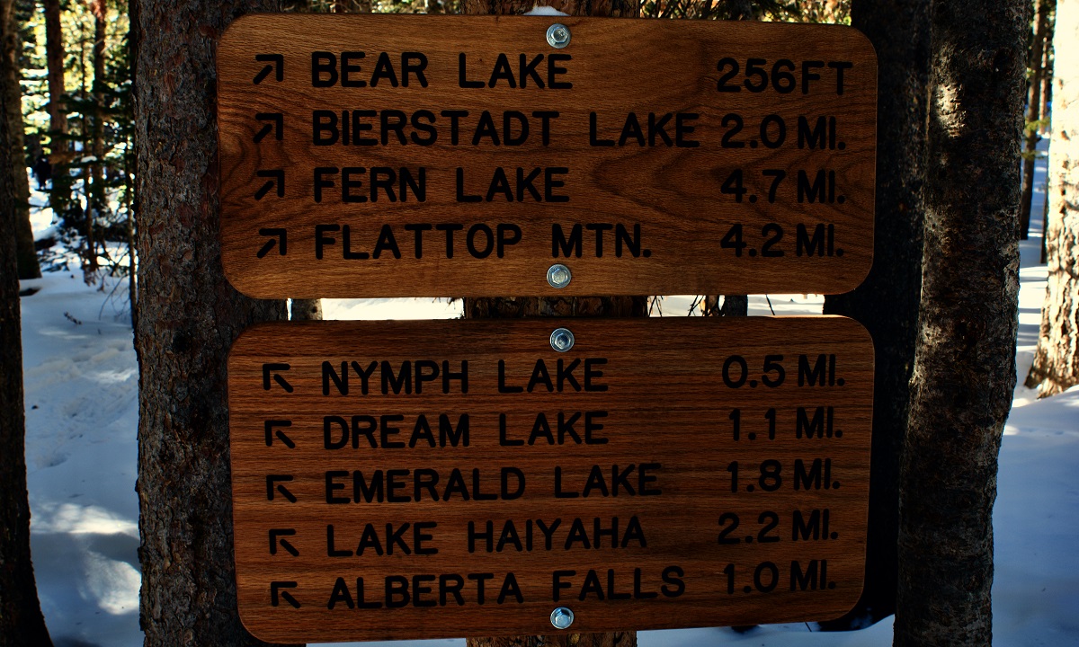 I returned to the lake again in mid-December and found the conditions had become much more winter-like with more snow and cooler temperatures. Some early December snows brought increased snow coverage down to below 9,000 ft. covering over any icy spots on the trails. While snow travel even at 10,000 ft. did not yet necessitate snowshoes, a decent snowpack was beginning to set up. The wintery conditions I found in mid-December had not been aided by our November weather pattern. In fact, according to the November Climate Summary Report from the Colorado Climate Center, this year's November was the third warmest for the state and ranked as the 11th driest on record. In short, our November was warm and dry, increasing drought conditions in our region to moderate and running the snowpack for the early season to below average. Colorado state climatologist Russ Schumacher is blaming a La Niňa ocean pattern in the Pacific that typically shifts moisture farther north. Whether any of that moisture will drop down in latitude on our mountains will largely depend on where the Jet Stream sets up. NOAA forecasters are “confident” that the La Ni~na pattern will persist through the winter. However, Schumacher did add, “It's still very early and a lot can change between now and the spring,” hedging his bets, like any good weather forecaster would. I hope change comes. But winter had set in up high and the six or so inches of snow on the Lake Haiyaha trail was getting packed in. In the summer, this trail is a pretty nice moderate hike with good views of Longs Peak and the Glacier Gorge region along the way. But in the winter, it can be a different game. While the winter trail to Dream Lake sees lots of travel and is usually well established, the number of snow travelers drops off considerably for the Lake Haiyaha trail cutoff. A good snow storm can quickly cover over the existing snow-packed trail and it could be easy for whoever is breaking the new trail at the time to get off course, leading followers astray. What seems like a relatively nice winter venture could get tricky real quickly if someone not familiar with the surrounding terrain were to accidentally drop down into the Chaos Canyon area under less than favorable weather conditions. On the day I went, the fresh snow was good and there was a decent path that stuck to the trail. Though the temperature was cool, I had to continually pull my cap off to keep my head from over heating and getting too sweaty. It can be easy to overheat when hiking in winter conditions and then become quickly chilled in the wind when stopping for a rest. There were several small groups that were making their way to the lake while I was out. One gentleman had even brought ice skates! Once I got to the lake, I found the wind was still blowing hard down canyon.  Dave Rusk has been sauntering and taking photographs through Rocky Mountain National Park for decades. He is the author publisher of Rocky Mountain Day Hikes, a book of 24 hikes in Rocky, and the website of the same name. He is the publisher of HIKE ROCKY Magazine and an important content contributor to all of these endeavors. story, photos, and video by Jason Miller I have hiked up to Gem Lake via Lumpy Ridge Trailhead many times in the past years and highly recommend doing it. This time, we started deep within the McGraw Ranch and ended up at this iconic spot atop of Lumpy Ridge. We came across grasslands, rivers, forest, mountains, but very few people. This hike is a MUST DO! We began the morning with my son driving his car and me following behind him. We parked his car at the parking lot of Twin Owls and Gem Lake Trailheads. We then took a picture of our beginning point and jumped in my car to head toward McGraw Ranch. We got mentally prepared for our adventure of the day with a little coffee, breakfast snack, and some good music. Music, It does the soul some good. When pulling onto McGraw Ranch Road, realize that this is a residential area and that these are private homes. Drive slowly and respect the area residents that call this home. The parking area is located 2 miles from Devils Gulch Road. and is located at the end of the road alongside in designated areas. Once parked, we were on our way. The old McGraw Guest Ranch is located at the trailhead. There used to be 25 buildings and five of those dated back to 1884. This opened as a dude ranch in 1936 for the enthusiastic adventurist. It specialized in trail rides, fishing, cookouts, and even square dancing. We walked past a few old buildings where all the fun used to be had and started down the trail. It starts off as an easygoing, flat hike. Vast, grassy meadows all around you remind you of the fall wildflower beauty. After walking through 1.2 miles of the grasslands you come to a fork in the trail. If you would go right, it takes you to Bridal Veil Falls (2 mi) or Lawn Lake (8 mi). We chose to go left. Gem Lake is 2.8 miles ahead. Jakob's car is 4.5 miles. From here it gets a little more challenging. We traversed downhill a little and crossed a river. I love crossing on the cut logs, makes me feel like a kid. Crossing the river means that the incline begins. Heart pumping and legs burning are normal for me. I have hiked up to Gem Lake many times but not on this trail. During this awesome time in the wilderness, you will experience all sorts of terrain from large meadows to heavily populated forest areas. I have always wanted to go on this trail, and it is super serene. There is not major rock scrambling on this hike, but the listed elevation gains and losses do not do it justice. There are a lot of ups and downs. After 1.5 hours of speed walking, we made it to Gem Lake. This is the first time we have seen people today. It is a small lake at the top of Lumpy Ridge surrounded by large boulders and rocks. I could not see any fish in it but if you are going to fish in the RMNP, make sure to read up on rules: have a fishing license and catch and release. Please help our fish population. There are great shady areas all around the lake to find a nice resting area. We sat down to eat lunch and drink some water. After 15 minutes, we continued down the mountain. It is 1.8 miles to the parking lot. Not too long after we started our descent, we came across a privy. If you need to use the toilet in the wilderness this is one of the best views out there. Traversing down a little farther and we came to Paul Bunyan's Boot: a large rock feature that looks like a boot with a hole in it. A polaroid moment. Many different spots on the way down proved to be great photo spots. Views of the snowcapped Rockies and the Estes Valley in the distance make for another spectacular photo. Some people enjoy hiking in silence, others find it enjoyable to wear headphones; whatever you like just make sure that you do not create noise pollution. Please don't carry in a boom box. We made it down to the Gem Lake trailhead within 3 hours of starting the hike. When I hike with my son, he tends to walk faster as we go farther. I highly recommend getting outside with family and friends. It is a great time to catch up on life challenges and reconnect with your loved ones. Sometimes just being together in silence is one of the best feelings in the world. Remember this time of year to dress in layers. It may start off cold but could turn warm and end up cold again. GET OUTSIDE!  Jason Miller, 49, is a resident of Glen Haven and is married with two children. Before moving to the area, he used to work as broker for Nestle USA and H.P. Hood milk company. Today, he is the owner of The Rustic Acre (vacation rentals in Estes Park) and co-owner of Lightbrush Projections. story by Dave Rusk photos by Murray Selleck “What do ya think?” We stood before some fallen logs strewn across the trail that required climbing over in order to go forward. “I don't see why not.” The sign had warned us that two miles into our 5.3-mile hike to Timber Lake on the west side of Rocky Mountain National Park, there would be an active landslide with possible moving soil and falling trees. Now, here we were at that point. “I don't know. When I was here before, they had diverted the trail up and around.” That had been seven years ago and I was surprised that this was still an ongoing thing. But the sign did say to proceed, “at your own risk.” “Well, let's go see what it's like. Probably not that bad.” We stepped carefully onto the fallen logs. They were covered with a bit of snow that was melting and making them slippery. But we moved forward to where we could get a better look. A gouge down the hillside of mud and fallen trees appeared before us. The Park had cut a few trees and we followed a makeshift path that dropped steeply down into the ravine. The path slid narrowly between some cut logs going one way and a fallen tree going the other. Then we ducked under that tree. There was a rivulet of water flowing down the ravine and I imagined during spring melt, this hillside might become very fluid and unstable. But right now, at the end of the season, the mud slide seemed dry and solid. So, a short scamper up out of the ravine and that was it. “Well that wasn't much of a problem.” “Yeah, it was a lot shorter than I thought it would be.” I had met my friend, Murray, in Grand Lake the evening before, our hike having been delayed a day due to a first-of-the-season snowfall that had temporarily closed Trail Ridge Road. Weather can always be a factor, making planning for an autumn hike difficult, although it ended up being a beautiful early fall day. While a number of trails on the west side of Rocky have been damaged by the massive Troublesome Creek fire the previous October, with some trails still closed, the fire did not reach the Timber Lake trail, which starts out at the base to Trail Ridge Road across from the Colorado River Trailhead. We had stayed the night before at a friend's cabin in Grand Lake, grabbing some take out at White Buffalo Pizza. There was a pretty good frost the next morning on the windshield, so we didn't rush out the door. By the time we got to the trailhead, at about 9,000 feet, the sun was warming the frosty grass in the meadows. We hopped out the truck and took a look around. Golden aspens accented a Colorado blue sky with a decent dusting of snow gracing the peaks across the valley. Despite the unexpected one day delay, it looked like we were going to have a gorgeous hike and we were excited to hit the trail. As we started our frosty hike, we wondered how deep the snow might get as we gained elevation with Timber Lake resting at 11,000 feet. The trail starts off easy enough, traversing around the lower west side of Jackstraw Mountain, crossing over Phantom and Beaver Creek, and then begins a steady climb going around the south side of Jackstraw and into the Timber Creek drainage. But while some sections of the 2,000-foot elevation gain got me huffing, the trail is mixed with more gradual stretches too. Once past the brief but tricky landslide area, the trail continues its steady but gradual rise through subalpine forest, eventually bumping into Timber Creek. At one point, an open meadow comes into view and I am reminded of spending time here one early August photographing and tip-toeing around a large patch of Elephant's Head wildflowers. It was a beautiful patch. But the meadow was mostly dry and dormant now, waiting for a return to winters nourishment. The trail follows Timber Creek closer here before breaking into a clearing at just under 11,000 feet, with good vistas of the Continental Divide to the north, where a trail to Mount Ida travels above tree line. At this point, it seems like you must be very close to Timber Lake, and you are except that the trail takes an unexpected turn to the east through more forested terrain, rising to just over 11,000ft before finally coming onto the lake right at tree line. There was maybe an inch or two of snow around the lake and the dusting on surrounding ridges looked splendid. I've been here as early as mid-June when the lake was still thawing out from the deep winter snow. I've also been here in mid-summer with terrific wildflowers surrounding the lake. And now the end of September with first snow. They've all been great hikes. We find ourselves a sunny lakeside rock and pull out our snacks, taking in the views and the sunshine. There are smaller ponds farther on nearby that can be explored and some folks like to climb up the ridge at the far end of the lake to ascend Mount Ida. On this day though, we just take it easy and enjoy the peaceful solitude of this end of summer beauty before our return.  Dave Rusk has been sauntering and taking photographs through Rocky Mountain National Park for decades. He is the author publisher of Rocky Mountain Day Hikes, a book of 24 hikes in Rocky, and the website of the same name. He is the publisher of HIKE ROCKY Magazine and an important content contributor to all of these endeavors. from the October 2021 edition of HIKE ROCKY magazine story and photos by Rebecca Detterline The snow at Thunder Lake was definitely deeper than anticipated on a recent attempt at a few remote peaks in Wild Basin. It quickly became obvious that our original plan would be thwarted by the slick conditions resulting from the first snowfall of the season. Knowing that our hike would be considerably shorter than we had prepared for, my two girlfriends and I hopped from rock to rock, following the steep trail that leads hikers from Thunder Lake to Lake of Many Winds, occasionally post-holing into calf-deep snow. Our feet were already cold and wet, and each step into the fresh snow packed a bit more snow into our sneakers. Visibility was poor and it would have been unwise for us to travel to the high and exposed peaks of Wild Basin with no traction or mountaineering equipment. However, moments of sunshine and breaks in the clouds revealing views of Longs Peak and Mount Meeker made our chilly feet nothing more than a small annoyance. Winds were relatively low and we knew we were only a mile and a half or so from the dry Thunder Lake Trail. ‘Have you ever been up Mount Alice?’ I asked my friend Kirby. She hadn’t. ‘How about Boulder-Grand Pass?’ Negative on that one as well. Unbeknownst to me, the trail that we were hiking on was completely new to her! She had never traveled past Thunder Lake toward Lake of Many Winds. While I love to stand on a summit or dip my toes in an alpine lake, I am definitely a hiker who enjoys the journey as much as the destination. I will not hesitate to hit the trail in the drizzling rain or on a day with a 90% chance of precipitation knowing that my original objective is likely unattainable on that particular occasion. There are so many worthy destinations at and below treeline in RMNP and I am always happy to don a rain jacket and gloves and revisit Ouzel Falls or Lake Helene or any other number of places I have seen about a million times. That being said, Kirby’s revelation that she had never been to Lake of Many Winds absolutely made my day! ‘You only get to see a place for the first time once!’ I beamed and we plodded up the last half mile of trail to the aptly-named lake, taking in the views of the high peaks surrounding us while Thunder Lake glistened below. This snowy hike in glorious Wild Basin was one of many opportunities this summer to share my favorite places with people who had never seen them before. I am not quite Jim Detterline-level when it comes to revisiting a place over and over. However, I am pretty sure that I hold the world record for most ascents of Eagles Beak. I have no idea how many photos exist of me in front of Ouzel Falls, but it has gotten to the point where I politely decline friendly bystanders’ offers to take my photo there. I think I have every season, every type of weather and every time of day covered. As much as I love visiting these places that have become like old friends and constants in times of uncertainly, the real joy comes from sharing these gems with others. One summer I stood on top of Longs Peak seven times, each time with folks who had never been there. I don’t anticipate another season like that, but I am always up for sharing my favorite lakes or remote summits with friends who are excited to see them. There are plenty of destinations in RMNP that I have not visited. I am not the type of person who needs to stand on top of every scree-laden summit in the Never Summer Range. I don’t have a checklist of destinations that I am hell-bent on reaching. I don’t know how many times I’ve scrambled up Pilot Mountain or The Cleaver. I do know my favorite destinations so far, though, and I tend to return to them year after year. While I enjoy revisiting these places with my regular hiking partners, the greatest joy always comes from showing someone a place for the first time. Being able to take my friends to places they have never seen is an honor and a blessing. Traveling safely through RMNP is a learned skill and I have certainly been on the receiving end of guidance from those more accomplished than myself. This summer I was blessed to traverse Blitzen Ridge to the summit of Mount Ypsilon. Thanks to an experienced partner, I didn’t have to worry about route finding and I was able to relax and enjoy the views of Spectacle and Fay Lakes from the Four Aces. I’ll never forget the first time I walked across Broadway Ledge on Longs Peak, tied into a rope and plucking out protection as I meandered toward Upper Kieners. I never could have guessed that parry primrose grew on that grassy ledge that appears so cold and rocky from afar. Any day spent in the mountains of RMNP is a gift, but the best views I have found are the ones standing alongside a friend who is seeing a place for the very first time.  Rebecca Detterline is a lover all things RMNP. She is a wildflower aficionado whose favorite hiking destinations are alpine lakes and waterfalls. Her name can be found in remote summit registers in Wild Basin and beyond. Originally from Minnesota, she has lived in Allenspark since 2011. |
Categories
All
|
© Copyright 2025 Barefoot Publications, All Rights Reserved

