|
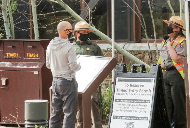
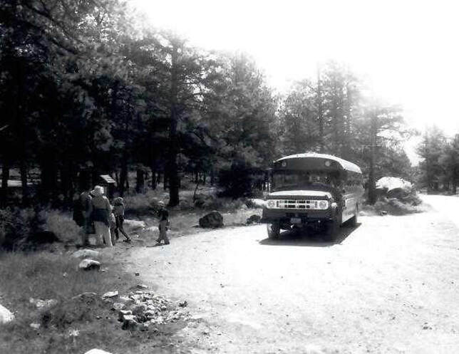
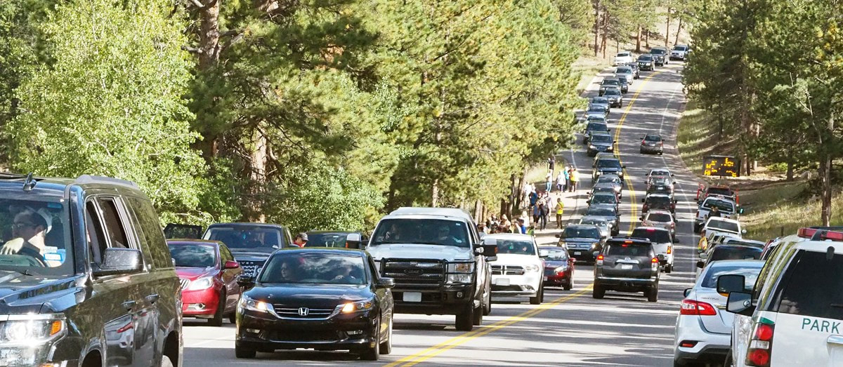
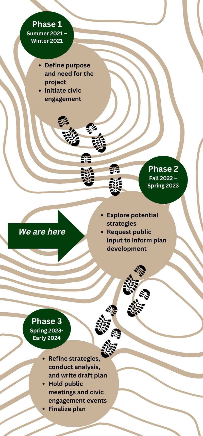
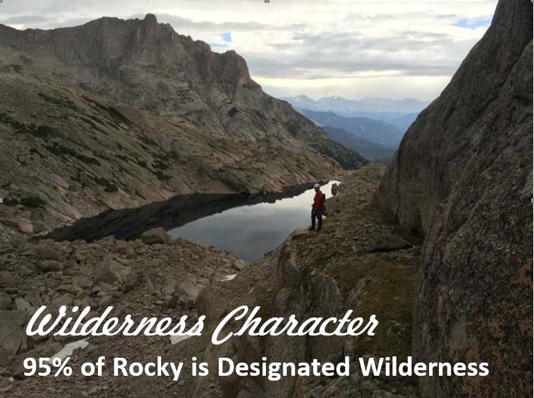
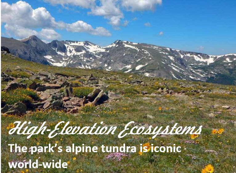
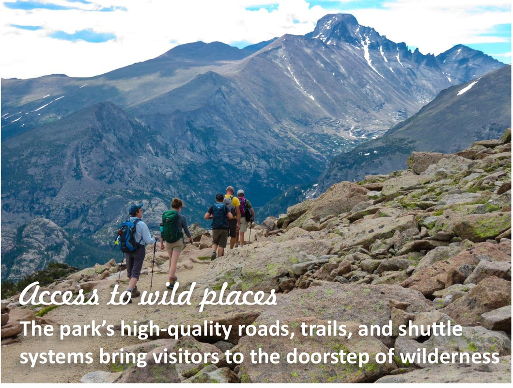
by Barb Boyer Buck, HIKE ROCKY's managing editor All photos courtesy of NPS/ROMO Yep, it's coming back. Another pilot timed-entry reservation system (with slight tweaks over the 2022 system) will start on May 26 and extend through October 22, 2023. Day use visitor management in Rocky Mountain National Park is not going away; it actually started in the late 1970s, when a shuttle system was first implemented in the Bear Lake Corridor and has continued ever since with increasing restrictions on congested areas of the Park during peak visitation times. “From 2016-2019 it was really a very reactive stance: when those areas became highly congested and there were significant impacts, we started closing those areas and turning visitors around,” said Kyle Patterson, RMNP’s Public Information Officer, in a public meeting on December 15, 2022. “As we moved through the years, we saw that we needed to do that on more days. So, in 2019 in July and every weekend June-September we were turning people around daily.” Rocky is now taking a proactive approach to visitor management and is in the public input stage of developing a long-term solution. The Park needs help: your input on proposed ideas and suggestions on how to improve them will be taken until February 1, 2023. Timed-entry reservations have been required during the Park's peak season (Memorial Day weekend through mid- to late-October) since 2020. Some of the social media scuttlebutt attributed the first year's implementation to COVID or a way for the Park to make more money, but neither is true. The first three years of the timed-entry programs (TEPS) have been stopgaps to handle the explosion of visitors, especially in 2019 when the Park's visitation reached a record 4.6 million, a 44% increase since 2012. But more needs to be done. “Even after implementing the timed-entry system, in 2021 we saw our second- highest visitation with 4.4 million people,” said RMNP Superintendent Darla Sidles at the Dec. 15 virtual meeting. People love Rocky Mountain National Park and they are not going to stop coming. So, the Park needs to find ways to fulfil their mission under the Organic Act, which defines the mission of National Parks; and, the Wilderness Act, under which 95% of Rocky was designated wilderness in 2009. These two laws limit the Park's ability to build new infrastructure such as adding new parking lots or widening roads, but they also dictate that visitors be allowed to recreate on this public land. “It's a balancing act that we all focus on every day at Rocky Mountain National Park with our efforts to conserve park resources but also to provide for the amusement and enjoyment of not only all of us right now, but to provide for future generations,” said Patterson. The first public outreach in the process of developing a long-term visitor use program occurred from Spring 2021-Winter, 2021 (Phase One), during which the plan's purpose and need for the project began and civic engagement was initiated. NPS is now in Phase Two of the process where potential strategies are being explored and public input on several preliminary strategies is requested. Phase Three of the project begins in the Spring of 2023 and will continue through winter of that year; a "permanent" solution is scheduled to go into effect in 2024. John Hannon, Rocky's Management Specialist - Business Programs, presented four strategies along with additional complimentary strategies that could be combined to derive a permanent solution. Idea One looks very similar to what we've been experiencing for the past couple of years. It includes two separate timed-entry reservation programs for private vehicles, made available from an online vendor (the $2 reservation fee does not go to the Park, it's the vendor fee for providing the service). These reservations could be ticketed or distributed through a lottery, or a combination of both. Each reservation would have a two-hour window for arrival, with no limitation on length of stay. Some of the reservations would be held back and released for sale the night before. Unlike the pilot TEPS, Idea One may include a commercial-use strategy. Those impacted by this would include chartered buses and tours. The benefits of this idea include the ability of visitors of plan their trips to Rocky, an increase in the quality of the visitor experience, and the opportunity to visit the entire Park under one reservation. The trade-offs include an additional charge (the $2 reservation fee) and the need for internet service. The number of reservations would likely decrease, Hannon said. There was a decrease in reservations in 2022, reported Patterson on Dec. 15. “In 2022, some days we still had some reservations left,” she said. This could be from a variety of factors, she speculated. “Gas prices probably had an effect, but 30-40% percent of our visitors come from the Front Range, so perhaps it was not a big impact. It could be COVID and inflation as well.” Patterson reported that speaking to gateway communities such as Estes Park and Grand Lake, she heard that short-term lodging bookings increased this year, but long-term bookings were down. She also acknowledged that there was a blip in increased visitation before and after the reservations took effect each day. Idea Two includes a set number of timed-entry reservations for each entrance station and shuttle-only access to Bear Lake, Glacier Basin, and Bierstadt. The shuttle would be first- come, first-served during set hours. Entrance station timed-entry reservations would still be booked through an online vendor with a two-hour arrival time window. There wouldn't be any length-of-stay exit requirement and like Idea One, a percentage of reservations would be held for sale the day before and a commercial use strategy may be needed. Pros for this strategy are similar to Idea One, but it more proactively distributes use. Cons are the same, too, but also include having multiple reservation areas. For example, if you got a reservation for Wild Basin, you can't then decide you want to go to Bear Lake and vice versa. Idea Three takes a different approach. With this strategy, you would obtain a daily reservation and can enter the Park any time during that day. There would be a set number of reservations available for each day, made available by ticketing or lottery or a combination of both, and a percentage would be held back to be made available the night before. This idea may also incorporate commercial uses. This idea would likely decrease the number of daily reservations, but would have the added benefit of having only one reservation area and bring more spontaneity to the daily trip. Idea Four gets rid of reservations altogether, but incorporates metering at the Park's entrance stations. This would be similar to the strategy of turning people away from full parking lots within the Park, but it would mean visitors would be turned away from even entering when parking lots are full. If you get in line to enter the Park, temporary delays of three to five hours could be expected. The benefits would be no additional fees, no internet needed, and no reservations required. One trade-off includes traffic possibly being backed up into Estes Park and Grand Lake, blocking private and public access. In addition, once inside the Park, visitors may be blocked from desired locations when the lots fill during their stay In addition, area-specific strategies could be combined with any of these ideas, said Hannon. At Longs Peak, you may need to get a permit before climbing to the summit. “This gives us a way to educate people about the dangers and make sure they are prepared for the climb,” said Hannon. Longs Peak is Colorado's deadliest mountain, reporting more than 70 deaths since Rocky was established in 1915. This also means that Rocky's Search and Rescue operations are among the busiest of the National Parks. There's only one, narrow, dirt road to access the Wild Basin parking area which, like many parking lots in Rocky, are small and fill quickly. Illegal roadside parking not only blocks traffic, but has a significant impact on the surrounding environment. The fire danger increases with this type of activity when there are extremely dry conditions and hot exhaust pipes meet brittle grasses. Wild Basin-specific regulations on vehicles could be incorporated to any of these ideas. Trail Ridge Road crosses the Continental Divide and is the highest continuous highway (at elevations of more than 12,000 above sea leave in some areas) in the United States. It also slices through some of the most important habitat Rocky preserves: the tundra. Tundra makes up one-third of Rocky Mountain National Park and is extremely fragile. Some of the tundra plants will take hundreds of years to recover if they are trampled on. Key destinations in the tundra ecosystem could be additionally regulated. Expanded shuttle service and enhancing education and trip-planning services are also being considered. A successful strategy must be in the sweet spot of where feasibility, desirability, and an effective strategy meet, said Hannon. “The purpose of the long- range planning really is to help ensure we're protecting the park resources, provide the best experience that we can for our Park visitors, that we are improving our staff and visitor safety, and that we are being commensurate with our operational capacity,” Sidles said. The Park is relatively small, about 265,000 acres, said Sidles. Most of that is Designated Wilderness, which means stronger requirements for land preservation, making sure that any human who visits does not remain for a significant period of time. Bear Lake Road was built in 1929 and Trail Ridge Road in 1932. These roads were narrow, one-lane roads that were built to reach specific destinations. Today, they are popular touring roads, with many vehicles stopping at various pull-out points. The Alpine Visitor Center and parking lot is a problem unto itself, with most travelers stopping there to use the facilities, get more information about the Park, and to visit the Trail Ridge Store & Café – the only current concession area within the Park. We at HIKE ROCKY magazine encourage everyone to take some time thinking about and researching these ideas; and, submitting your comments and suggestions by February 1. You can find Rocky's detailed plan options here, and submit your comments and/or suggestions here.  Barb Boyer Buck is the managing editor of HIKE ROCKY magazine. She is a professional journalist, photographer, editor and playwright. In 2014 and 2015, she wrote and directed two original plays about Estes Park and Rocky Mountain National Park, to honor the Park’s 100th anniversary. Barb lives in Estes Park with her cat, Percy This piece of independent and local journalism was brought to you by Snowy Peaks Winery and XplorerMaps
0 Comments
Research & story by Hillary Eichinger Rocky Mountain National Park is not only home to stunning views and amazing wildlife, it also preserves more than 600 buildings. In the 107 years since its inception, the Park has changed shape and size, incorporating natural areas, old mines, irrigation ditches, dams, logging camps, commercial areas like hotels, and original homesteads. National Park Service specialists maintain the integrity and upkeep of its historic places including trailheads, natural areas, and buildings. The area around Estes Park and the Longs Peak area has been a popular destination for tourists, adventurers, and outdoor enthusiasts since the late 1800s. Before the Park was founded, a great deal of the land belonged to the National Forest Service and various private holdings. Many of these holdings were homesteads, ranches, patented mineral mines, timber camps, and stone quarries. These private-owned properties were dotted across some of the Park's most famous destinations including Bear Lake, Horseshoe Park, Moraine Park and the area between Lulu City to Grand Lake. At the time of its founding in 1915, the Park was 229,062 acres, 11,000 of which was inholding property. This included various ranches, farms, mines, and 15 hotels. A great deal of the visitation was capitalized on by building hotels and backcountry lodging.
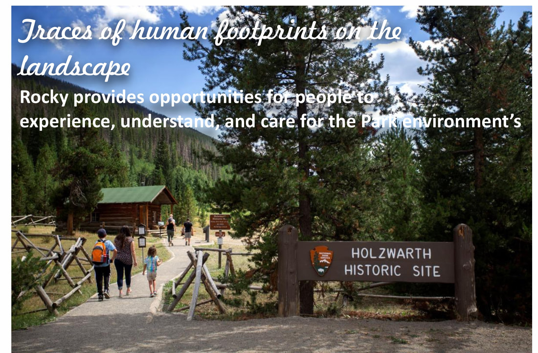
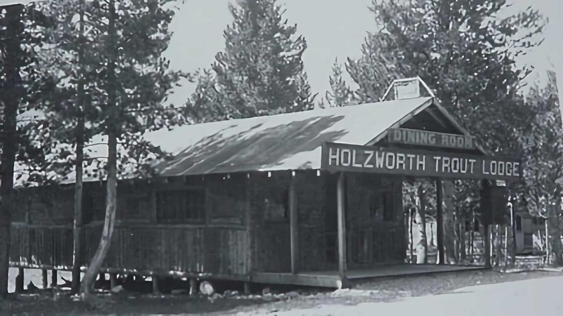
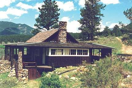
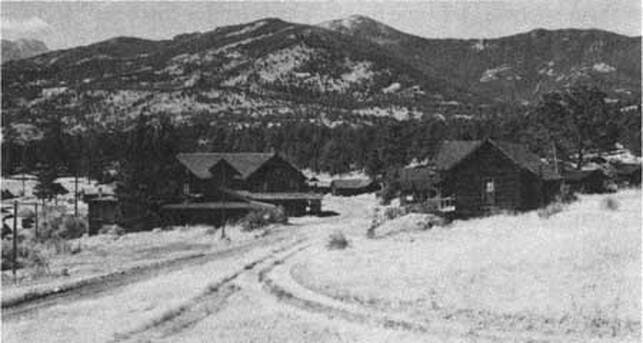
and Hazel Davis who expanded it to accommodate the growing tourist population. The Cascade Lodge, later called Cascade Cottages, was made for tourists coming to the area who wanted to experience the outdoors in a rustic setting. The new owners changed the lodge's design and style to match the growing popularity of the motel motorway. Roads and drive-up cabins soon were soon updated to accommodate motorized visitors. Located along Fall River Road, Cascade Cottages grew in popularity and the accommodations had to be expanded again in 1960. It was owned and operated by three generations of the Davis family, staying open to visitors until 2016. The Park purchased it a year later through combined fundraising efforts by the National Lands Trust, the Rocky Mountain Conservancy, and the National Parks Service. At 43 acres, it was one of the largest privately-owned properties within the Park boundaries. Fourteen buildings of historic significance remain, including some of the original cabins. Some of the ranches took advantage of the vast visitor base and became dude ranches, offering trail rides and overnight accommodations. After selling their homestead near Lake Granby, John and Sophie Holzwarth bought property on the west side of the Colorado River in 1917; 160 acres in the Kawuneeche Valley. A few years later, they increased the family's holdings in size by 900 acres with the addition of the nearby Fleshut Ranch. An original cabin, named 'Mama' by the Holzwarth's, still stands today. The family's original intention for the property was to build a horse and cattle ranch, but when the nearby Fall River Road (which now connects with Trail Ridge Road) opened in 1920, they soon discovered serving the passing motorist tourist industry was more lucrative. They built small cabins on the property and called it the Holzwarth Trout Lodge. 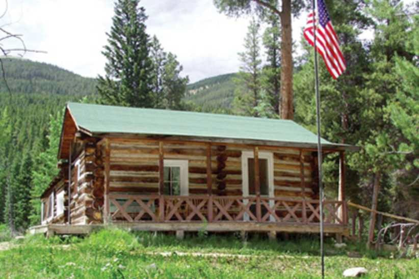 “Mama” cabin on the Holzworth site; courtesy RM Conservancy “Mama” cabin on the Holzworth site; courtesy RM Conservancy In 1923, Holzwarth's son Johnnie established and ran the Fleshut property as a ranch, renaming it Never Summer Ranch. He also built a saw mill in 1924 that served the family's large property and nearby areas. In 1957, there were eight buildings at the ranch and 13 at Trout lodge. In 1975, the Park acquired the combined Holzwarth properties and a year later, the Park's boundaries were expanded to include the area. Never Summer Ranch was listed in the National Register for Historic Districts in 1977. In 2004, the area was renamed the Holzwarth Historic Site and is used for education purposes and open seasonally to the public. Between 1941 and 1951, Rocky's visitor population increased from 663,000 to 1.33 million. This increase caused the Park Service to rethink their buildings and facilities within the Park. The historic buildings within the Park today that are still in working condition have been preserved or converted into functional buildings. Most of these buildings are ranger stations, volunteer housing, and support facilities for the growing number of visitors. By 1966, in a massive undertaking to accommodate for the growing visitor base, Rocky built and opened three new visitor's centers. The Beaver Meadows Visitor Center, Alpine Visitor's Center and the Grand Lake Visitor Center. All three were at the forefront for modern park design by combining shopping, food and preliminary information about RMNP in a central location. The visitor centers also function as the Park's administrative buildings. Today, all three visitor's centers are intact and actively being preserved as part of the Park's long history. Most of the original buildings in the Park that are still standing are considered historic and are on the National Register for Historic Places. One of these buildings, built in 1930, is now being used as the Glacier Basin Campground Ranger Station. The William Allen White cabin, located in Moraine Park has been preserved and updated to accommodate the artists in residency program. White, a newspaper editor, used this cabin as his summer residence from 1912-1944. To qualify for the Register, a building has to contribute historically to our understanding of engineering, archaeology, culture or architecture. The building also has to be over fifty years old and/or be a good example of its time period and the place in which it was built. Park buildings on the Register exemplify pioneer, homesteader, or log- cabin architecture and provide a glimpse into the history before RMNP was founded. As the latest addition to the Park's acquisitions, Cascade Cottages are currently being restored and plans for the area’s development are forthcoming. As of August 27, 2020, the 14 historic buildings of Cascade Cottages and the surrounding 43 acres of property have been included in Registry. The ‘Mama’ cabin in the Holzwarth Historic Site is under restoration by the Rocky Mountain Conservancy as well as is the William Allen White cabin. If you would like to learn more about historic buildings in Rocky Mountain National Park, visit Rocky's administrative history online or stop by any of the Park's visitor centers. If you would like to donate to the preservation of historic buildings or learn more about the ongoing restoration projects visit rmconservancy.org Bibliography Nps.gov administrative history ch 12 Colorado encyclopedia.org Rocky mountain conservancy, projects Rocky mountain national park pictorial history, ]Kenneth Jessen Rocky mountain national park historic places, William B Butler 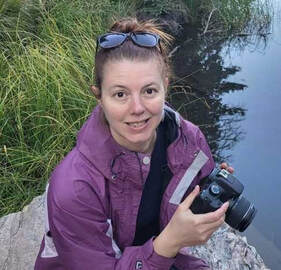 Hillary Eichinger was born and raised in Oregon. She received a bachelor's degree in history and a master's degree in museum studies and has worked with artists in gallery and museum projects for more than 20 years. She is passionate about art, history, photography and natural preservation. This story of independent and local journalism was made possible by the Rocky Mountain Conservancy and Backbone Adventures.
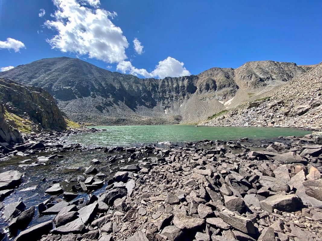
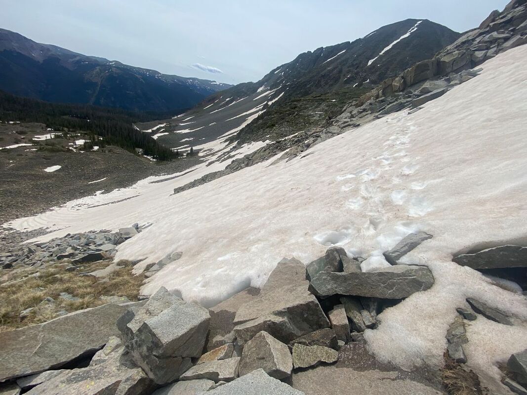
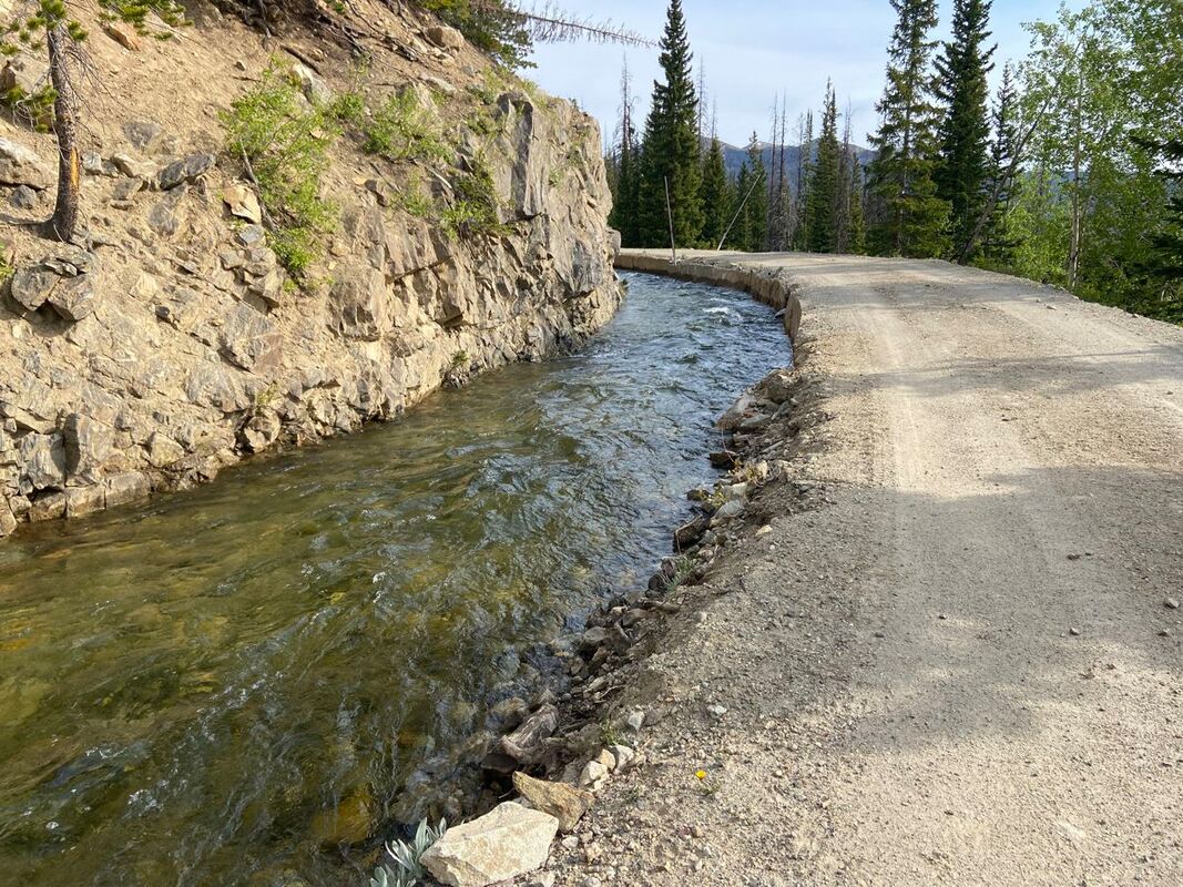
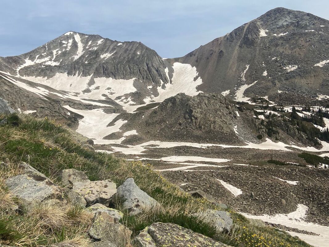
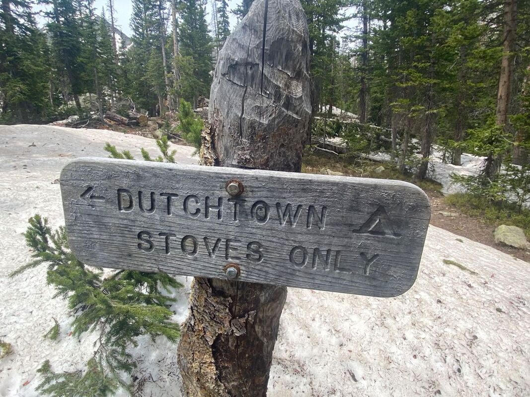
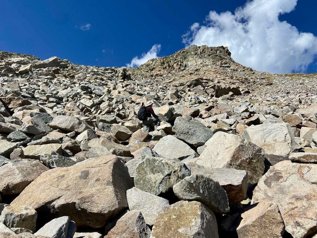
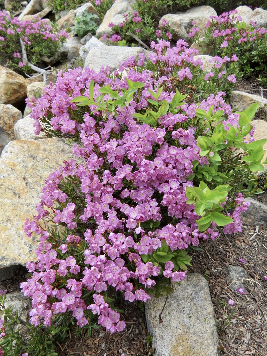
This article is extracted from the current issue of HIKE ROCKY magazine; to learn more about becoming a member to read the entire publication, click here Story and photos in all seasons by Marlene Borneman Lake of the Clouds Mileage: 14 miles round trip, in and out Elevation gain: 2,390 feet Class 2: Use of navigation skills, may use hands for balance on steep talus slopes/boulders Rated: Difficult Lake of the Clouds sits at 11,430 feet among the “cloud” peaks named after cloud formations. Mount Cirrus and Mount Howard loom above the lake with Mount Cumulus and Stratus to the south. It is the largest lake west of the Continental Divide in the Never Summer Range. This section of the park is remote, rugged, encompassing stunning alpine scenery. Before mid-July be prepared to hike on snow including steep snowfields which may require special gear and experience on snowfields. This adventuresome hike starts at the Colorado River trailhead. The trail sets off steeply but soon levels off into quiet forest and meadows. Wildlife is often seen near the river so be watchful for elk, moose, and deer. The trail continues up switchbacks for 3.5 miles until the Grand Ditch Road is reached. The Grand Ditch is a 15-mile canal built over a hundred years ago to divert water (run off) from the Never Summer mountains to the east side of the Continental Divide. The water would otherwise go into the Colorado River. This diversion is a water source for the Front Range and beyond to the eastern plains. The Colorado River was formerly called the “Grand” River where the name Grand Ditch was derived. Work on the ditch began in 1894 and was finished in 1934. It is easy walking on the ditch road giving time to soak up the views. A variety of wildflowers grow along the “ditch” and in late summer, ripe tasty raspberries. Follow the Grand Ditch Road for 1.8 miles to Hitchens Gulch crossing a foot bridge. Here Big Dutch Creek cascades into the Grand Ditch. Now, the adventure really begins. Follow the trail to the backcountry campsite Dutchtown. Dutchtown was a mining camp named after German (Dutchmen) prospectors abandoned in 1884. Along the way several lush meadows line the trail filled with alpine laurel, marsh marigolds and globeflowers. Gortex boots come in handy hiking in these wet and often very muddy meadows. In early summer avalanche lilies are a treat to find along this section. In late June throughout most of the summer rose crown, Indian paintbrush, star gentians and many more wildflowers color the landscape. Leaving Dutchtown campsite the trail becomes faint. Stay on the north side of the creek following cairns to reach a large boulder/talus field. This boulder/talus slope is immense and feels overwhelming. A sizeable“bowl” sits above this steep slope which holds Lake of the Clouds. An impressive waterfall flows from the lake down the boulders below forming Big Dutch Creek. Looking north are dramatic views of Lead Mountain. On the boulder/talus slope there are many cairns going in every direction. No matter which route taken, stay on the north side (right hand side) of the waterfall scrambling up large boulders. Assume every boulder will move when stepped on, so balance is key. Grassy ledges above the boulders offer a route on somewhat easier terrain. Topping out on tundra, it is an easy walk to the lake. Lake of the Clouds offers sweeping views. The lake is surrounded by alpine flowers; Old Man of the Mountain, columbines, dotted saxifrage, moss campion, sky pilot, alpine avens just to name a few. Whistles of yellow-bellied marmots and squeaks of pikas may also be part of the scene. Marmots are the largest member of the squirrel family. Marmots are very curious animals. Walking away from a daypack is just an invitation for a marmot to tear into it in search of food. Marmots hibernate in the winter so summer months they are occupied gaining body fat. Pikas are hard- working small furry mammals in the rabbit family. Pikas do not hibernate. They scurry rapidly across the tundra gathering plants to store for their winter food stash. Follow the route back to the Grand Ditch Road down to the Colorado River trailhead. Some may say this is a really demanding hike, but the rewards of the day are worth every step. 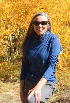 Marlene has been photographing Colorado's wildflowers while on her hiking and climbing adventures since 1974. Marlene has climbed Colorado's 54 14ers and the 126 USGS named peaks in Rocky. She is the author of Rocky Mountain Wildflowers 2nd Ed, The Best Front Range Wildflower Hikes, and Rocky Mountain Alpine Flowers. This story of local and independent journalism was made possible by: Castle Mountain Lodge and Rock Creek Tavern.
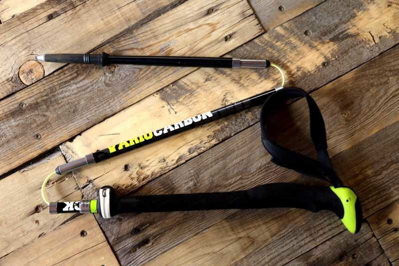
This article is extracted from the current issue of HIKE ROCKY magazine; to learn more about becoming a member to read the entire publication, click here by Murray Selleck, HIKE ROCKY magazine's gear reviewer NOTE: HIKE ROCKY magazine does not receive compensation on brands recommended in Murray's reviews Trekking poles should not be an afterthought as you organize your gear for a hike. Many hikers have changed their thoughts about trekking poles from thinking of them as an optional accessory to believing in them essential. They won't leave home without them! And of course, there are just as many hikers who have never even considered using trekking poles. These hikers are young. Trekking poles are only for older hikers. They're fit. Trekking poles are only for those who need help with their balance. They're athletic. Trekking poles will only get in the way… or so they believe. Trekking poles have come a long way since whittled walking sticks, and their benefits far outweigh any hesitation you many have in using them. If you are open minded to developing the habit of using trekking poles you'll gain hiking performance and increase your endurance. Here is the short list of how trekking poles will benefit you whether you're on a day hike or a multi day backpack trip. Enhance your balance with two additional points of contact: Hike uphill and gain altitude more effectively by using arm, shoulder, and core abdominal muscles. Engaging these muscles on an ascent helps propel you up and forward. An additional benefit is maintaining and even increasing strength in these muscles as you hike. Ease joint stress and muscle strain: Especially on the descent, trekking poles reduce the heavy impact of your feet hitting a hard trail. Multi-functional: Trekking poles can be used to set up a lightweight shelter to wait out a rain shower. They can be used to create a splint in a first aid emergency. With the right poles and accessories they can be used as a monopod for photography. And perhaps, they can be used for self defense in an unpredictable animal situation. Seasonal: Trekking poles can be used year-round as your hiking poles or even in the winter as your snowshoeing pole. Just swap out the baskets! Whether you are looking to purchase your first pair of trekking poles or upgrading an existing pair you'll find plenty of choices to make your selection. Here are a few things to consider when you begin your search. Pole Sizing The best way to size a trekking pole is to hold it. With the grip in your hand and holding the pole in front of you your elbow should be bent about at a 90 degree angle. If it is slightly lower that is better than slightly too long. Sizing the pole length this way gives you a natural arm swing as you hike (especially on level terrain). If the pole is too long you'll be reaching higher to clear the pole as you swing it forward. Reaching higher is wasting energy… A natural feeling arm swing is what you're looking for. Adjustable or fixed length? Adjustable trekking poles can allow for 5 to 10 centimeters of length adjustment up or down. You can really fine tune the length with an adjustable pole to the exact length that feels most comfortable to you. The adjustable pole is handy when the terrain changes. Hiking uphill you may want to shorten your poles. Hiking downhill you may want to lengthen the poles. And on a sidehill traverse you may choose to have one pole longer (downhill side) and one pole shorter (uphill side). Or if you don't care to take the time to make length adjustments on your hike, go with a fixed length pole. Fixed length poles come in 5cm increments. Runners and fast packers prefer this option. They are moving quick and typically won't take the time to adjust their poles no matter the terrain. There are two primary ways to adjust pole length. The original way was with an expansion mechanism located on the top of the lower shaft and as you would twist the upper and lower shafts in opposite directions the expander would grip the inside sidewall of the upper shaft and snug itself tight into place. It is effective but prone to slip if to loose. They're prone to lockup if you tighten it too much and hard to loosen to make another adjustment. Or it required cleaning to keep it working as reliably as possible. Not wonderful. This type of adjustment is still used but found mostly on price point trekking poles. The more effective adjustment is with a flick-lock or cam-style lever. Black Diamond first developed this mechanism and it quickly became incredibly popular. Once the patent ran out the rush for manufacturers to create their own version was unleashed. Now practically every trekking pole has this style of adjustment. Grips Take the time to consider the grips on the poles you want to purchase. Some grips are made with a very hard plastic typically found on price point models. These grips may become slippery especially on hot days when your hands get a bit sweaty but this style of pole and grip will save you money. Foam grips and cork grips are more comfortable no matter the weather. Hot or cold, these grips remain comfortable in your hand but be prepared to pay a little bit more for your poles. These grips are worth the extra money! I recommend checking out the top of the grips for comfort, as well. Often I'll place my palm on the very top of the grip for some extra push. How the top of the grip is shaped can aid in comfort. If it is too narrow or pointed you may lose this as an option for hand placement. Pole Straps Straps can be constructed of simple flat webbing to create a loop or more involved with specific left and right straps with padding. The more refined the design, the more the price of the pole increases. As usual, you get what you pay for! On a recent hike in RMNP I saw several hikers using trekking poles but none of the hikers were using the straps correctly! Check out the photos in this article or play the video for the best way to use your straps. By using the straps correctly you can save energy but not having to grip the grips so firmly. With the strap correctly attached around your hand and wrist you will control your pole placements more effectively. Shock Absorbers Another feature that is well worth the price are shock absorbers. Back in the day, shock absorbers on trekking poles were a metal spring design. The spring was small but it created an almost pogo stick like feel in your hands. Today's shock absorbers are made from elastomers that cushion the shock of the pole hitting the ground or rock and sending that harsh energy into your wrist and elbow. You'll barely notice these elastomers working to absorb those hits. It is a very subtle feel but by the end of the day you know they've done their job because your wrists, arms, and shoulders are still feeling fresh. The elastomer shock absorbers can be found near the bottom of the pole above the tip or ferrule or near the top just below the grips. Overall Weight of Trekking Poles When shopping for trekking poles consider the weight of the poles. The packaging will have this information printed on it but hold the pole and feel the weight of the poles in your hands. Overall weight is important to consider. Less expensive poles will be heavier. More expensive poles (either aluminum or carbon fiber) will weigh considerably less. Swing weight is also a reason to hold the poles in your hands. Overall pick-up weight of the pole is important but how does the pole feel as you swing the pole forward with each step? Swing weight is the resistance you feel bringing the pole forward. The less swing weight you feel the more energy you save along the trail. By lightly swinging the pole forward and back you can feel either more or less swing weight with each pole you try. This little test will also let you feel how snug the upper and lower shafts fit together. Lesser expensive poles might feel loose or wobbly at this connection point. Higher performance poles will feel solid and strong whether it is a two, three, or z-style sectioned pole. Accessories Many trekking pole manufactures include a few accessories with your purchase. The small disc trekking pole basket comes standard on all trekking poles. Some poles come with a winter basket that you can swap out and continue to use your poles in the winter. Other important accessories are tip protectors. These are important in the practice of Leave No Trace. The tip protectors prevent your pole from chipping rock along the way. This is very important on soft sandstone in the desert but should still be a consideration anywhere you hike. Tip protectors will also soften the sound of your poles click, click, clicking up and down the trail… kind of sound proofing the poles. Other accessories might include an option to convert the grips into a monopod for photographers and a stuff sack to keep everything together and easy storage. All-in-all, trekking poles will be a great addition to your hike My one whole-hearted recommendation, no matter which manufacturer or model you choose, is to use the pole straps correctly. Don't look like a rookie out there! Happy Trails. 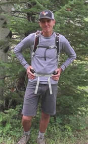 Murray Selleck moved to Colorado in 1978. In the early 80’s he split his time working winters in a ski shop in Steamboat Springs and his summers guiding on the Arkansas River. His career in the specialty outdoor industry has continued for over 30 years. Needless to say, he has witnessed decades of change in outdoor equipment and clothing. Steamboat Springs continues to be home. The publication of this piece of independent and local journalism was made possible by Brownfield's and Rambo's Longhorn Liquor, both of Estes Park.
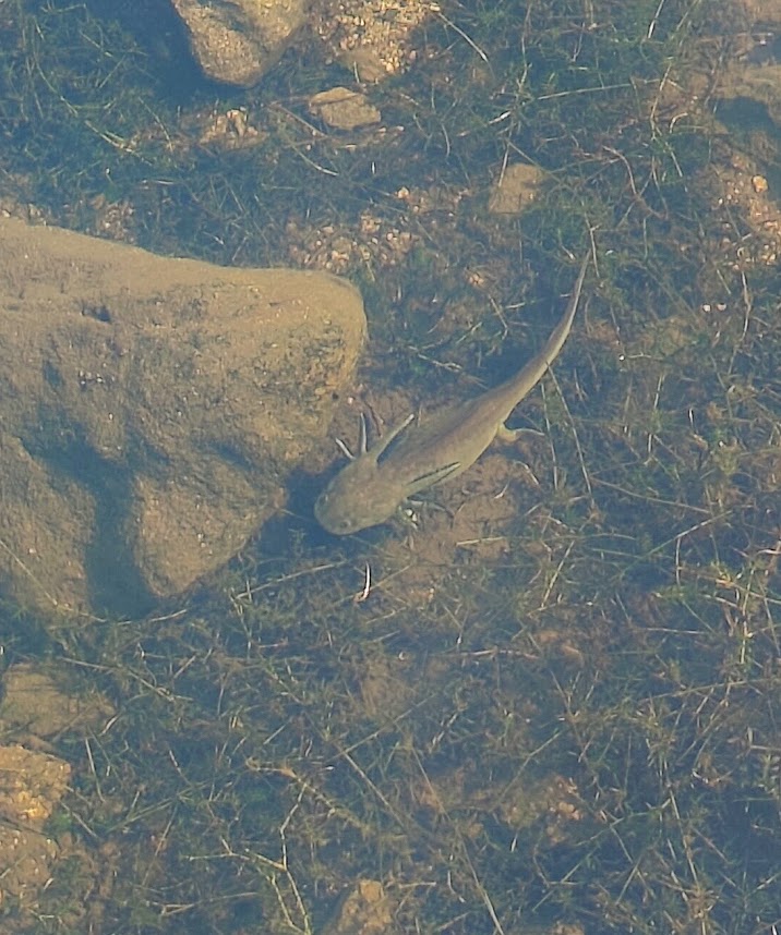
This article is extracted from the current issue of HIKE ROCKY magazine; to learn more about becoming a member to read the entire publication, click here Climate change may be forcing more Western Tiger Salamanders to become terrestrial Photo, video, and story by Barb Boyer Buck, Managing Editor On a beautiful morning in late September, the surface of Lily Lake was still as glass. I walked out onto the fishing platform that extends above the lake and gazed into the water. “What is that?” exclaimed my friend Krissy, pointing to an odd creature just emerging from under a rock to walk along the muddy lakebed. I was stumped. I have studied, lived near, and visited Rocky Mountain National Park for nearly 25 years, and I had never seen such a creature. It was definitely an amphibian and had frilly gills extending from both sides of its head. Suddenly, another one emerged and began walking in another direction to burrow its head into the mud among the grasses. Neither came up for air the entire time we watched them. My group of friends turned to me, quizzical. I was supposed to be the expert, after all; the people I was with were only in town to work for the summer/fall and were brand-new to the area. I spied a group of rangers and some of the Park's trail crew working nearby and asked them to come over. The video accompanying this story shows this rarely-seen denizen of the deep in action. A few rangers were nearby and identified them as Western Tiger Salamanders; they looked exactly like dark-colored axolotls. I had to know more. I spoke with Jonathan Lewis, Wildlife Response Technician and Bear Management, Amphibian, and Avian Programs Lead for RMNP. He explained that sometimes, the tiger salamander stays in this newt-like stage, “with external gills that look like a dragon” for its entire life. 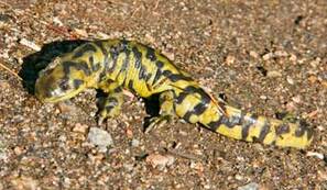 NPS/ROMO photo NPS/ROMO photo “The gills filter the oxygen from the water,” Lewis said, “That way, they don't ever need to come up for air.” The ones who “choose to leave the wetlands” will mature further into the full-grown creature, more easily recognizable as a salamander. But these “mud puppies” can grow up to a foot long and never leave the water. “This is one of the largest salamanders, less than 14 inches long, and one of only four amphibians native to RMNP,” Lewis explained. Although common – “a saturated species,” according to Lewis – they are very rarely seen because they are mostly nocturnal and live most of their lives underground. They hibernate underground, too. “They are ravenous predators, sometimes eating aquatic insects found in the mud, and can even be cannibals” he added. They live a long time, too – “more than 10 years, about 13-14 years in the wild. “Mating season is in the spring, when they congregate to the same pond where they were born,” said Lewis. “Females will lay clusters of up to 10-15 eggs, or even single eggs. When they are born, they look like little tadpoles with legs and gills. They swim in the warmer water; in the shallows. For those who choose to fully mature, that takes about three months. Its tail is very poisonous and even the membrane on its skin is slightly poisonous – do not touch these creatures if you happen to come across one! It’s scientific name is Ambystoma mavortium, a type of a mole salamander, and ranges from southwestern Canada all the way to northern Mexico. Unfortunately, as many other species in RMNP, the Western Tiger Salamander is being affected by climate change. In a study completed in 2005 in Lamar Cave in Yellowstone National Park, Temporal response of the tiger salamander (Ambystoma tigrinum) to 3,000 years of climatic variation , researchers concluded that further warming and drying climate conditions would significantly reduce these “mud puppies” in RMNP. “The Yellowstone study suggests that Rocky Mountain National Park staff and visitors may start seeing fewer paedomorphic and more, larger terrestrial adult tiger salamanders as conditions continue to warm two to five degrees centigrade as predicted in the region of the park based on the two most widely accepted climate models. What this would mean to tiger salamander population numbers, which are currently thought to be stable, or to populations of other park amphibians known to be less well off is still unclear.” (source: https://www.nps.gov/romo/learn/nature/tiger_salamande rs_climate_change.htm ) It was such a thrill to discover an animal I had never seen before, even after studying Rocky for nearly 25 years! There are so many surprises waiting for everyone during explorations of this wonderful national treasure if you take your time, stay quiet and still, and most importantly: leave no trace. 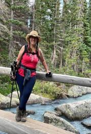 Barb Boyer Buck is the managing editor of HIKE ROCKY magazine. She is a professional journalist, photographer, editor and playwright. In 2014 and 2015, she wrote and directed two original plays about Estes Park and Rocky Mountain National Park, to honor the Park’s 100th anniversary. Barb lives in Estes Park with her cat, Percy. The publication of this piece of local and independent journalism was made possible by The Country of Estes Park and MacGregor Mountain Lodge.
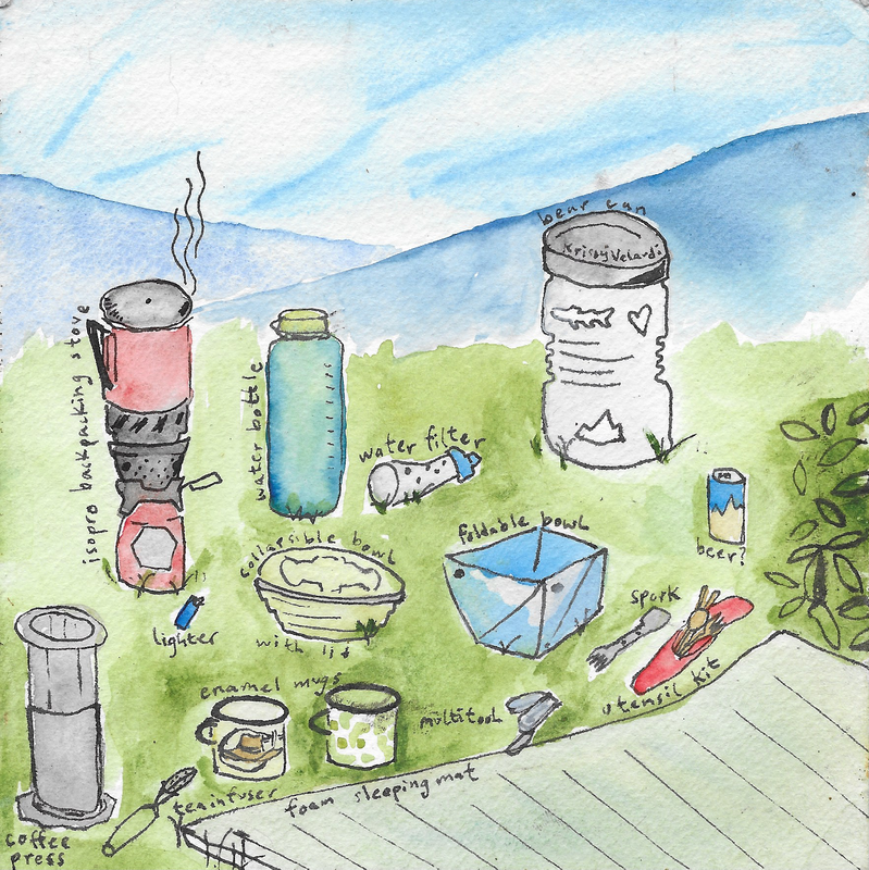
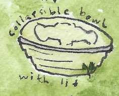
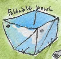
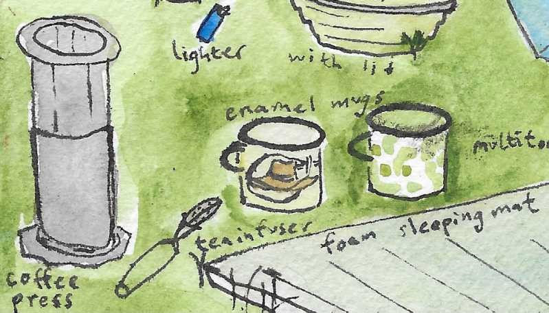
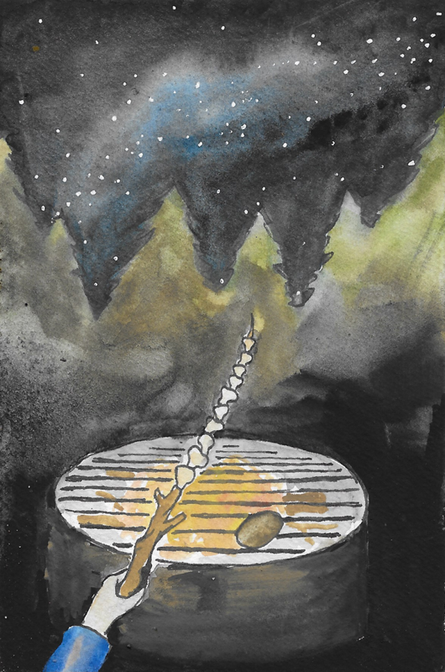
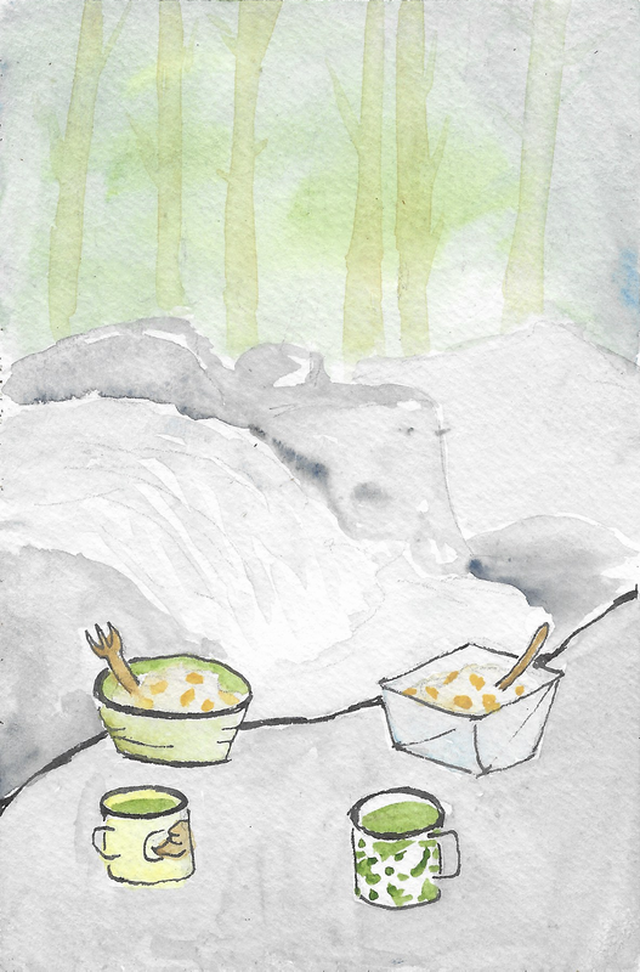
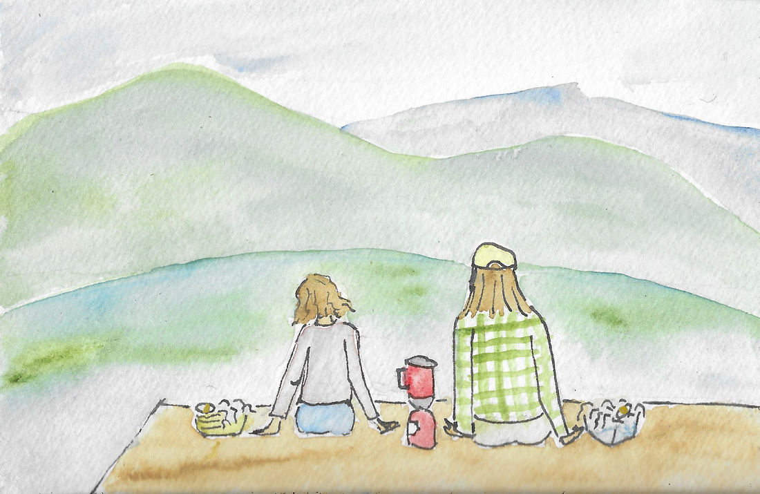
Story and illustrations by Krissy Velardi Note: The writing and illustrations in this article are all done by myself, but it would be wrong not to credit the ideas equally to Zenith and Clay—two of the best friends anyone could ask for on and off the trail. - Krissy On a crystal-clear early autumn day this year, Clay and I ventured over Trail Ridge Road to the Grand Lake area to hike the North Inlet/Tonahutu loop over 3 days and two nights. As with any proper adventure, I could write endlessly about the magic of our journey. But here, I am just going to dive into how we fueled our bodies for nearly 30 miles in the backcountry. A lot of people opt for the pre-packaged just-add- boiling-water backpacking meals because the concept of cooking without a full kitchen can be intimidating. But to us, it is always worth a little extra love and effort to eat beautiful, nutritious home-cooked meals on the trail (plus it saves quite a bit of money!). Of course, we have had our share of flops, but the recipes here have been refined over many backcountry excursions. That being said, you don't need to hike 30 miles to try these recipes out for yourself. They're great for bringing on day hikes or even just making something quick at home whilst dreaming of the mountains. Kitchen setup 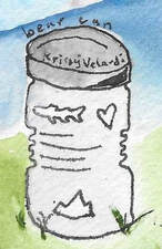 Bear can: In many mountainous areas, including Rocky Mountain National Park and the Indian Peaks, a bear canister is required for food storage. It is basically a giant plastic tub that requires opposable thumbs to open, designed to keep human food inaccessible to bears. It is an important factor in deciding what foods to bring because you need to be able to fit all of your food and other “smellables” (deodorant, toothpaste, etc.) inside of it. For that reason, a lot of our selections are purposefully compact which also serves the dual purpose of being lightweight. 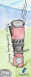 Isopro backpacking stove: Of all the camp stove styles I've tried over the years, my favorite for backpacking uses isobutane/propane blended fuel and has an integrated pot. These stoves are optimized simply for boiling water but you'd be surprised how much you can cook this way! They are also permitted in areas with fire bans because the flame is elevated from the ground. My stove is a fancy expensive windproof version, but you can find a basic isopro-fueled stove for under $20 and use any small, thin, metal pot with it. Some models have a built-in igniter, but I always pack an extra lighter since they can be finicky. Better safe than hungry!  Water filter: Countless styles have been invented over the years, but I find the most compact and easiest to use to be a soft-flask style that you fill directly with water and squeeze through a filter threaded onto the opening. I bring this on any day hike with a water source, and sometimes even around town so I can fill my water bottle from the river. Remember to always filter water before you drink or cook with it, even if you're going to be boiling it.  Water bottle: I prefer to hike with a hydration bladder, but a water bottle is good to have around for the kitchen since it's much easier to pour water out of for cooking. 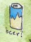 Beer?: Good for sunsets, summits, cooking, and campfires. Carefully place some rocks to hold your can at the edge of the river and leave it there for a few minutes to chill. If the refreshment of cracking open a cold one is worth the weight of carrying a can or two, then don't be afraid to indulge. Getting out there is all about enjoying yourself responsibly. Bowl: Especially if you're cooking for one, you can opt to skip this and eat out of your pot. These days I like to bring a collapsible bowl with a threaded lid and Clay uses a bowl that unfolds out into a plate for easy cleaning and packing. But in the past I used to simply bring tupperware. Just make sure whatever you choose is fairly light and sturdy. 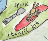 Utensils: A titanium spork is lightweight, heat resistant, and durable. This is my utensil of choice… but on this particular trip I forgot any utensil and whittled a new spork from a stick. Clay generally brings bamboo utensils in a convenient little canvas pouch to keep them all together in his pack. And of course, your household utensils work just as well outdoors too. 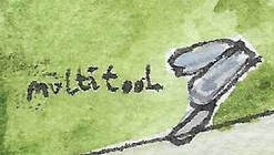 Multitool: Mostly I just cut fairly soft vegetables, but it's nice to have the option of a few blades as well as scissors for opening packages. This is what I used to whittle my utensil too. Coffee press/tea infuser: These are the best ways we've found for making hot beverages on trail while also avoiding single-use products. We measure out coffee grounds/ tea leaves beforehand and pack them in a small container. Alternately, I sometimes just bring matcha since it dissolves and therefore does not require an infuser. And if I'm feeling fancy, I'll add some powdered coconut milk to it for a backcountry matcha latte. Enamel mugs: For coffee, for tea, for sharing a beer, for side dishes, for hitting with a stick at impromptu jam sessions. Foam sleeping mat: In colder weather, I prefer an inflatable mat. But the foam ones are great for a comfy place to sit wherever you decide to make a meal. Snacks I always carry one or two granola bars per person per day in addition to a sweet snack (banana chips on this trip) and a salty one or two (pistachios and a spicy snack mix). Some ingredients, such as granola, can double as a snack if you bring extra. Plus we packed a dark chocolate bar that we shared for dessert over the two nights. The salty snacks are good for electrolytes but snacking in general is extra important because your body is going to want a lot more calories when you're working it like this. It's really important for a fun backpacking experience to find calorically-dense foods that you truly enjoy! Day 1 Breakfast: Trailhead breakfast burritos (propane stove) As we prepared the rest of the food and finished up packing for our trip, we used a cast iron skillet on a two- burner propane stove to make breakfast burritos at Grand Lake. To power the first bit of our journey, we cooked up some sweet potatoes, red onions, black beans, and eggs,wrapped it all up in tortillas, and put them back on the skillet to toast the outside. It was simple but packed full of nutrition to get us ready for a big adventure! Lunch: Peanut sauce veggie wraps (no stove) Prepare at home: To a half-full jar of nut butter, add a pinch of black pepper, a hearty shake of garlic powder, a squirt of hot sauce (to taste), and a splash of something acidic (lemon/lime juice or apple cider vinegar). Top it off with soy sauce or hoisin sauce, being careful not to make it too thin, especially if you choose soy sauce, since you want to maintain a spreadable consistency. Give a good stir, then close the jar, shake it all up, and toss it in your bear can. A standard size jar makes about 4–6 servings if you really like to heap it on. On the trail: Take out a tortilla and spread a saucy stripe down the middle. Cut/rip up a liberal amount of crunchy veggies (we used bell pepper and carrot) and pile them on. Roll it up, using a bit more of the peanut sauce as glue to hold the wrap together. I've tried pre- making these wraps, but they get a little soggy so it's best to just assemble them on trail. Dinner: Wild mushroom rice bowls (isopro stove + campfire [optional]) At home: Fill a bag with dehydrated mushrooms (I love the exotic blend we would buy at the farmers market in the summertime, but be sure not to include any that are too large as they take much longer to rehydrate), sesame seeds, dried seaweed (we typically use wakame), salt, pepper, and umami seasoning. Pack another bag or jar with some instant white rice. Although I prefer brown rice, the instant white rice seems to cook much better with just boiling water poured over it. In another small jar, add some miso paste. On trail: Well, we packed the dehydrated mushrooms but ended up finding such an abundance of wild mushrooms (see note) while still on Forest Service land before we entered Rocky. We picked a few of those to use instead! Our first campsite had a fire ring and small wood fires were permitted, so we made a fire and skewered our mushrooms to roast while we prepared the rest of the recipe In the pot of your isopro stove, boil water (1:1 ratio with the total amount of rice you'll prepare) and the contents of your mushroom-seaweed-spice blend as well as a heaping spoonful or two of miso paste. Pour a serving of instant white rice into each bowl. Once the contents of the stove have come to a boil, turn the heat down and give it just a minute or two more (making sure the mushrooms have time to rehydrate) and then pour them all together into the bowls of rice. Stir everything up and let it sit for a few minutes. Chop up a bit of zucchini into small pieces to add some crunch then toss it on top once the rice has absorbed all of the water. Note: Do not ever consume wild foods you have not identified with 100% confidence. If you have any doubt whatsoever, leave it. If you are intending to forage, carry a field guide and collect responsibly. Don't gather a significant por'tion of what you see or more than you'll eat. And, always pack a backup rather than relying on being able to forage. Day 2 Breakfast: Mango cobbler oatmeal (isopro stove) At home: Mix quick-cooking oatmeal with cinnamon, coconut milk powder, and brown sugar, being sure to leave some nuggets of brown sugar. Put the mango (or your fruit of choice) in a bowl or mug to keep it from getting bruised in your pack. On trail: This was a big day of hiking, so in order to get going early we ate some granola bars while packing up the tent then hiked a few miles before stopping to cook breakfast by a cascade. Pour a serving of oatmeal into each bowl and cut up the mango while bringing a full pot of water to a boil. Add some of the boiling water to the oats and let sit while you use the remainder to make a pot of tea/coffee. Once the oats have absorbed the water to your desired consistency, sprinkle the top with some granola and uncooked oats. Lunch: Peanut sauce veggie wraps 2.0 (no stove) It is really nice to have a go-to lunch that doesn't require a stove in case you want to keep it speedy but also because that mountain sun can be hot midday! Additionally, it can be extra windy above the treeline which makes it difficult to use most stoves. We brought enough peanut sauce for two rounds and then used bell pepper again but swapped in zucchini in place of carrot to mix things up a bit. Other veggies that work well are cucumber, red cabbage (cut into large pieces at home), leeks, and bean sprouts. Dinner: Mushroom mash (isopro stove) This wasn't what we had intended but after hiking 12 miles all above 10,000' with the weight of our packs, we simply wanted to go to sleep. So this is what happened: I'm the type to get a little upset when hungry so I always bring some instant mashed potatoes (dubbed “hanger tates”) as a preventative measure. They get used on every trip, and it keeps me pleasant enough that my friends continue to want to go backpacking with me. At home: Fill a bag or jar with instant mashed potato flakes, salt, pepper, and garlic powder. On trail: Bring water and dehydrated mushrooms to a boil over an isopro stove. Add some potatoes to each bowl. Once mushrooms are properly hydrated, distribute the contents of the pot amongst the bowls and feast. Day 3 Breakfast: Cobbler oats 2.0 (isopro stove) We didn't bring a second fresh fruit, so on the morning of day 3, we added some banana chips and extra granola to the top of our cobbler oats and they were delicious this way as well. Another pot of tea helped to wake us up. Lunch: Miso mushroom ramen (isopro stove) We planned to have this for lunch on trail and carried the ingredients in our bear can, but it was scorching hot as we hiked through a burn scar in the midday sun. So we sat with our toes in the river, sharing a cool beer and snacking on some granola bars, and decided to wait until we got off trail so we could add a soft-boiled egg and cook on the beach of the lake. However, we have previously brought eggs on trail, wrapped in a clean sock or bandana then packed firmly in a tupperware. At home: We used the same mushroom/ seaweed/ spice mix and miso as we did for the rice bowls we had for dinner on Day 1. On trail: Fill pot just over halfway with water then add flavorings and bring to a boil. Once boiling, add an egg for each person and slightly lower heat. Let the rolling boil continue for about five minutes. Carefully remove the eggs from the hot broth and place them in a mug of cool water to chill for a few minutes. Add 1 or 1.5 packets of instant ramen noodles (we forgo the flavor pouches that come with them in lieu of our homemade mix) to each bowl and pour the hot broth over them. Let sit a few minutes, periodically separating the noodle “nests” as they soften. Chop up some fresh crunchy zucchini as a topping. Peel the eggs, add them to the bowls, and enjoy with a view! 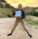 Krissy Velardi is a nature-loving nomad who was carried to Colorado on the wind. When she is not dancing through the mountains, she is daydreaming about them and often laying those whimsical visions down on paper. To see artistic interpretations of her other wanderings, go to krissyvelardi.com or @acorngirldesign on instagram The publication of this piece of independent and local journalism was made possible by Snowy Peaks Winery and Kirk's Mountain Adventures, both of Estes Park.
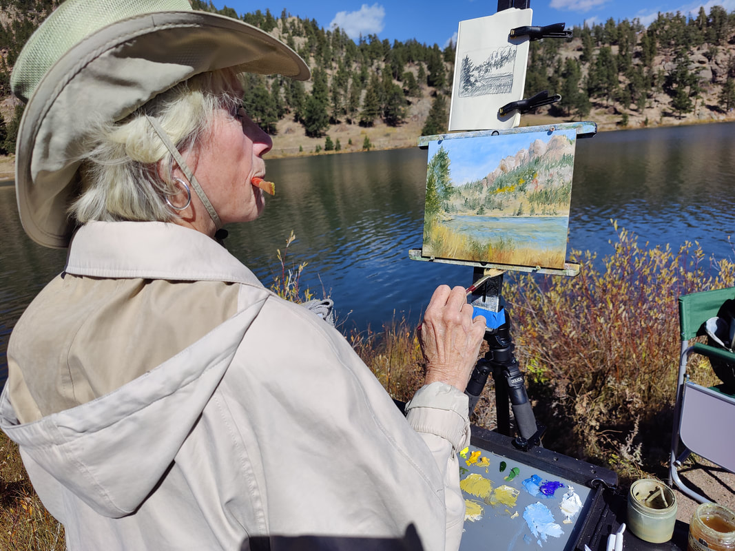
Edited by Barb Boyer Buck, HIKE ROCKY magazine’s managing editor, in partnership with the Art Center of Estes Park Pat Sebern is the current featured artist at the Art Center of Estes Park with her show “Blaze of Color” (September 30-November 7). According to her biography, “I lived in Denver and began painting there in the 70’s. During those years I was primarily involved in Western art…especially as it portrayed mountain men and black powder events. “New job opportunities took me to Seattle and then Dallas where my favorite subjects became wildlife and landscapes. “Through these jobs and transitions in creative projects…I have worked in several medias…watercolor and gouache and large canvas murals painted with acrylic. But my two favorite mediums are oil and pastel." Her bio continues: “I find them the most versatile, timeless and inspiring of all the painting disciplines. I have no formal training but over the years have participated in many workshops and taught several classes. “In the past 3 years, I retired and moved back to Colorado from Texas. Now I am exploring new opportunities to paint, become affiliated with inspiring groups of artists, and enjoying the beautiful scenery that Colorado has in abundance. One rule I always try to follow…make sure the paint water and the coffee mug are far apart!” On a crystal-clear day in mid-October, HIKE ROCKY magazine was lucky enough to film Pat as she painting “en plein air” (in the open air) at Lily Lake. Her intricate, detailed painting featured one of her favorite subjects to paint - Colorado aspen. The next day, HIKE ROCKY visited Pat at the Art Center, where she was volunteering. She gave us a tour of her show. Both videos are available to view on the following page. The Art Center of Estes Park is located in Upper Stanley Village (across the parking lot from Safeway) and will be hosting a new show that opens on November 11 featuring the photographic collage art of Laura Davis of Estes Park. “Colossal and Intimate: Nature, Abstraction, Imagination Through The Artist's Lens” will run through December 19. For more information on the Art Center’s upcoming art shows, classes, and events, visit https://www.artcenterofestes.com/ This piece was produced in partnership with the Art Center of Estes Park.
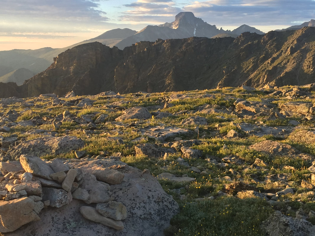
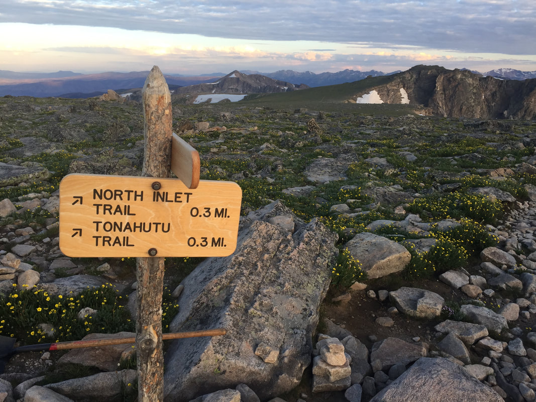
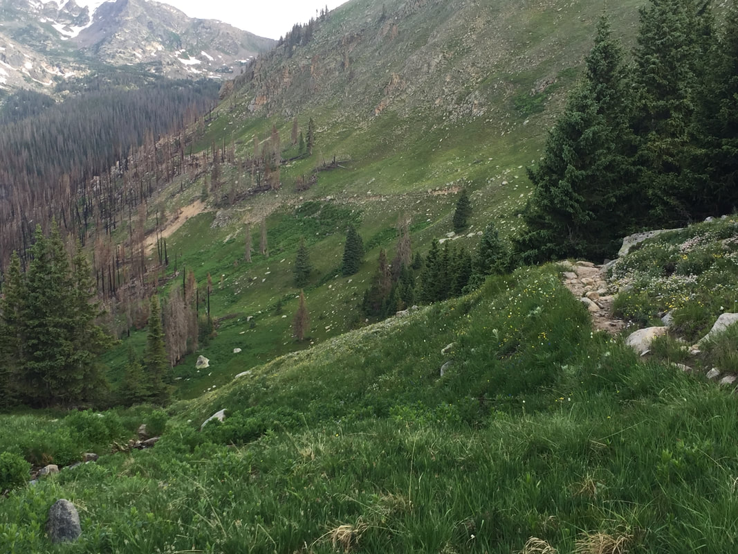
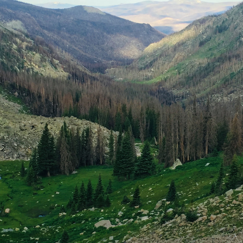
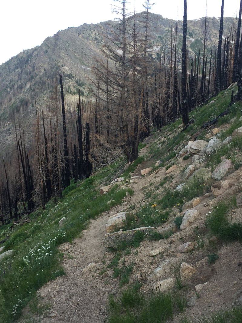
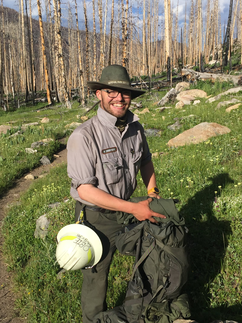
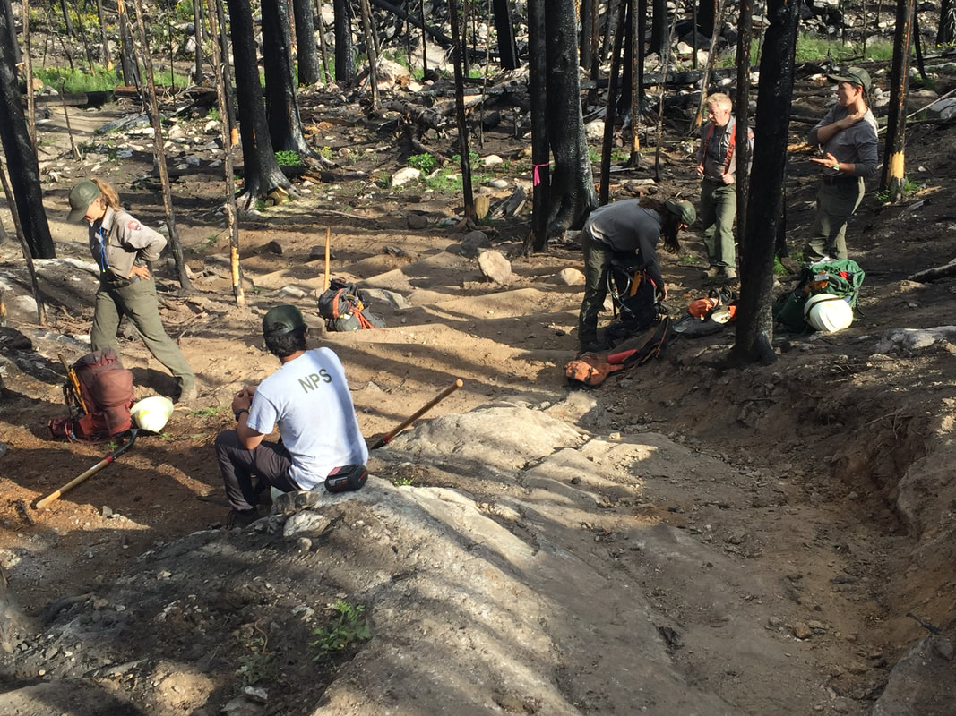
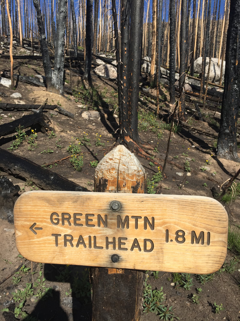
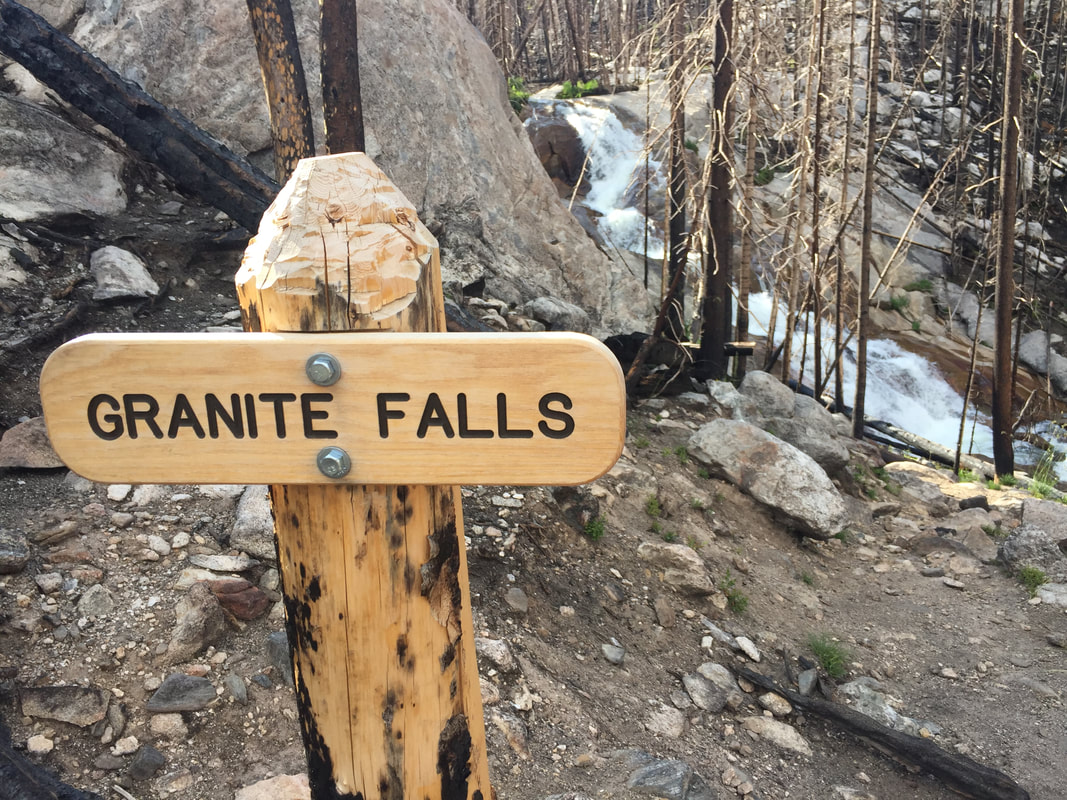
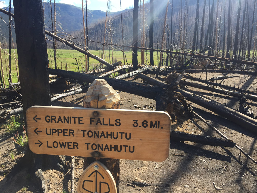
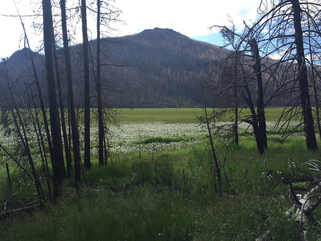
Story and photos by Chris Reveley for HIKE ROCKY magazine Editor’s note: The Tonahutu Trail was reopened on July 9, but closed again on July 21. This hike was taken on July 13, 2022. October 14, 2020: The East Troublesome Creek Fire was first reported, burning in the hills, northeast of Kremmling, Colorado. Pushed eastward by high winds, the blaze would leave two people dead and consume hundreds of structures in its path. Entering the National Park, the fire quickly burned halfway up the North Inlet valley and through the entire Tonahutu Creek drainage. Reaching tree line and lacking fuel, the fire's aerial acrobatics allowed it to vault over more than a mile of dry, grassy tundra to re-establish itself east of the Continental Divide. High winds continued and Estes Park was evacuated. The flames marched to within two miles of the town's west boundary. The Tonahutu trail starts near the summit of Flattop Mt. and travels northwest across the tundra before descending toward Grand Lake, passing through some the worst of the Park's fire damage. It had been closed to hikers and backcountry campers since the fire; blocked by many fallen trees and threatened by the still-standing, blackened skeletons of others, the trail was unsafe and impassable. Bridges, signs and hitching rails were destroyed. In July, after almost two years of restoration and rebuilding by determined RMNP trail crews, the Tonahutu trail was reopened to the public. I wanted to see it for myself. The shortest hiking route from the Park's east side to the west is about 15.5 miles and starts at Bear Lake with 4.4 miles up steep, rocky terrain on the Flattop Trail. With a reliable headlamp (and a backup!) I always do the first few miles in the dark, timing my arrival at tree line with the sunrise. Over the last 50 years I've taken scores of photos from this area; sun peeking up over the plains, the monolith of Longs Peak brooding to the south, first light touching the Mummy Range. These views never look exactly the same twice so here I am, taking all the same pictures again! Funny. Just past the Flattop summit there's a choice to make; left on the North Inlet trail or right on the Tonahutu. Both trails wander across tundra for a distance, marked by large rock cairns built up by passers-by over many years. Before long, the Tonahutu begins to descend into the valley it will follow to Grand Lake. As I drop down off the treeless tundra, stunning views down the charred valley are revealed. Suddenly, I arrive at the exact place where the fire became air-born and crossed the tundra to reach the Park's east side. This is what I came to see. All the trees are burned, right up to the point where the trail drops into the former forest. But then, something strange: There are a few small groves of big trees above this spot that somehow survived, sandwiched between the complete destruction that came roaring up the valley and the tundra. What would I have seen, standing to the side as the fire passed? Did the steepening slope and the rising winds cause the firestorm to ascend vertically, going totally atmospheric and missing a few lucky survivors? The next six miles of trail pass through one long graveyard of blackened coniferous hulks, sculpted by flame. Many have been burned almost completely through, leaving me wondering what is keeping them upright? With the first strong wind the trail will likely be covered by burn debris again. Scores of the fallen trees that had blocked the path have been cleanly sawed through and removed by trail crew teams. By the time I reach the Green Mt. trail junction and finish the last couple miles to the parking lot, I've counted at least five newly-constructed bridges, lots of new trail signs and several rebuilt trail segments. I've met Paul, a Park Service employee who is far up the valley, alone, hiking with a large pack. He is surveying backcountry assets, particularly important in the aftermath of the fire. I've stopped to thank the ladies and gentlemen of a trail crew. They look tired. There is nothing particularly glamorous about this work but what they've accomplished is impressive. “We have a lot more to do”, they admit. By the time I arrive at the Green Mt. trailhead, I've taken 70 photos. The blackened forest climbs thousands of feet up the sides of the valley while lush, green undergrowth has returned and covers the low, wet areas. The contrast is startling but hard to capture with my phone's camera. And the damage goes deeper: A Park Service naturalist tells me the fire's extreme high temperatures have sterilized the soil in many places, making any kind of new growth impossible for a long time. Normally, along this traverse of the Park, I would see bighorn sheep, moose, elk and deer. Today, no wildlife at all. Investigations have concluded that the East Troublesome Creek Fire was started by people, not lightning. Was it intentional or accidental? Could those responsible have imagined what the results might be when they started the fire? Here in the bone-dry West, it is probably time to abandon the tradition of a roaring campfire during the dry seasons. Wise management of our natural resources includes education and planning as well as acknowledging our ability to do great harm, accidently or otherwise. How should we respond to those whose neglect or intentional actions damage these fragile terrestrial and atmospheric shells we inhabit? As the species with the greatest intelligence and the greatest negative impact we bear the greatest responsibility. But, again and again, we are failing the Good Stewardship Test. Our relationship with the earth is both loving and abusive, trending more toward the latter as our benign inattention allows environmental disasters to proliferate. It may be that humankind lacks the intelligence, foresight and desire to maintain the planet, happily trading short-term profits for long term survival. If we can't stop poisoning our home, our relatively brief 70-million-year residence on planet Earth will come to a whimpering end, only to be appreciated by other, surviving life forms as a cosmic, not-to-be-repeated experiment in neglect and exploitation. The evidence is in: forest, water and atmosphere are not unlimited resources that will rejuvenate and regenerate faster than we are destroying them. Sadly, environmentalism has become a political issue with a portion of our population denying there's a problem. We elect “leaders” to make wise decisions and, more and more, they are willfully and proudly ignorant, incapable of understanding the issues, much less responding wisely. Again, today, after thousands of adventures of all kinds in RMNP, my passion for the place survives, undiminished. The future of the Park and, indeed, the planet can be bright. It's entirely up to us.  Chris Reveley has spent 50 years climbing and doing endurance sports; and, thirty years learning and practicing medicine. “Now I’m a Happy House Husband with hobbies,” he said. The publication of this piece of independent and local journalism was made possible by Erik Stensland's Images of RMNP and The Country Market, both of Estes Park.
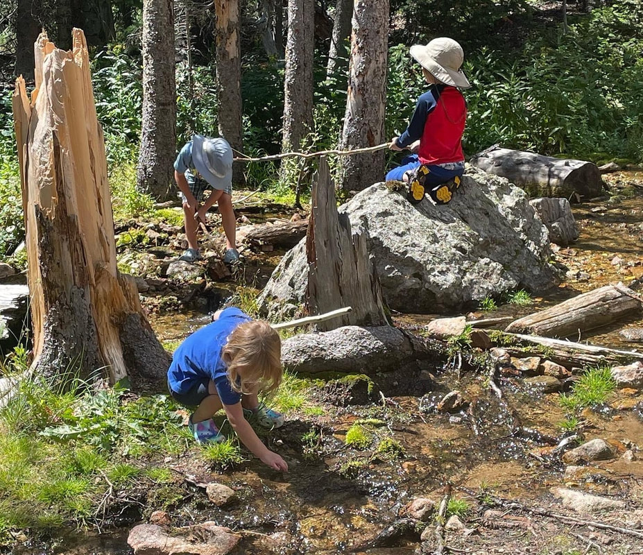
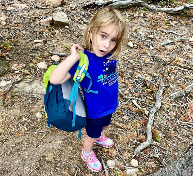
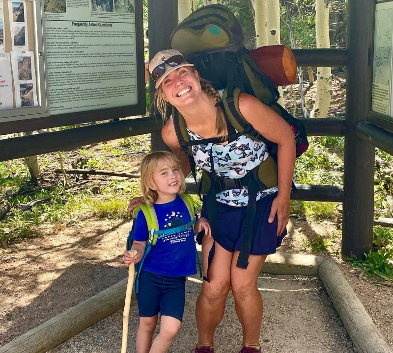
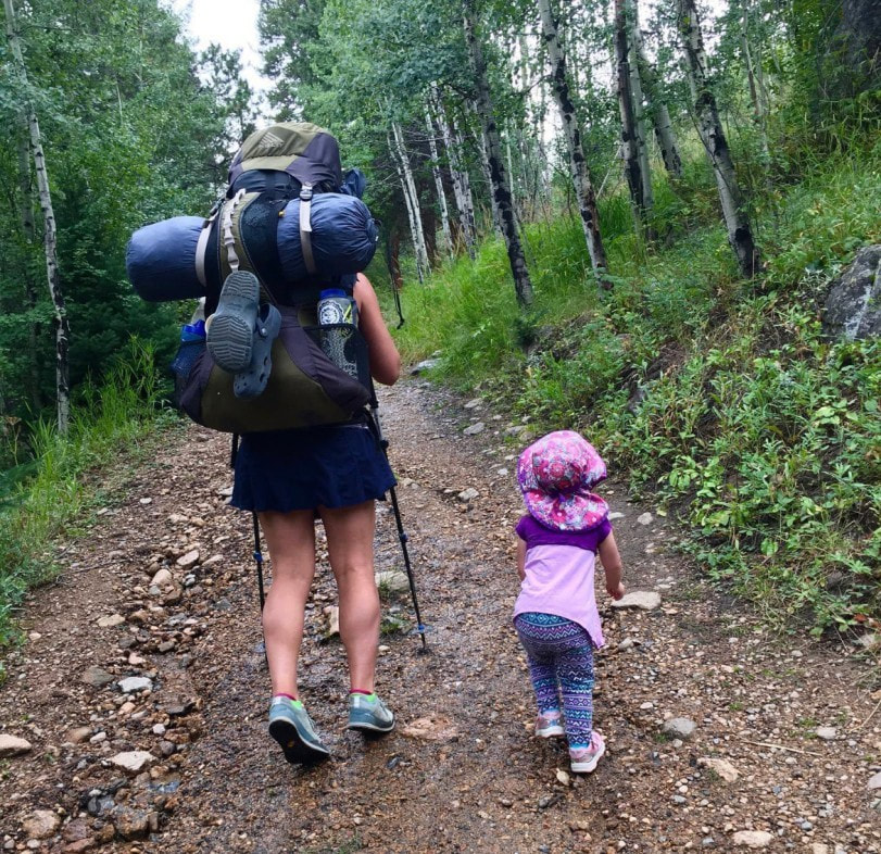
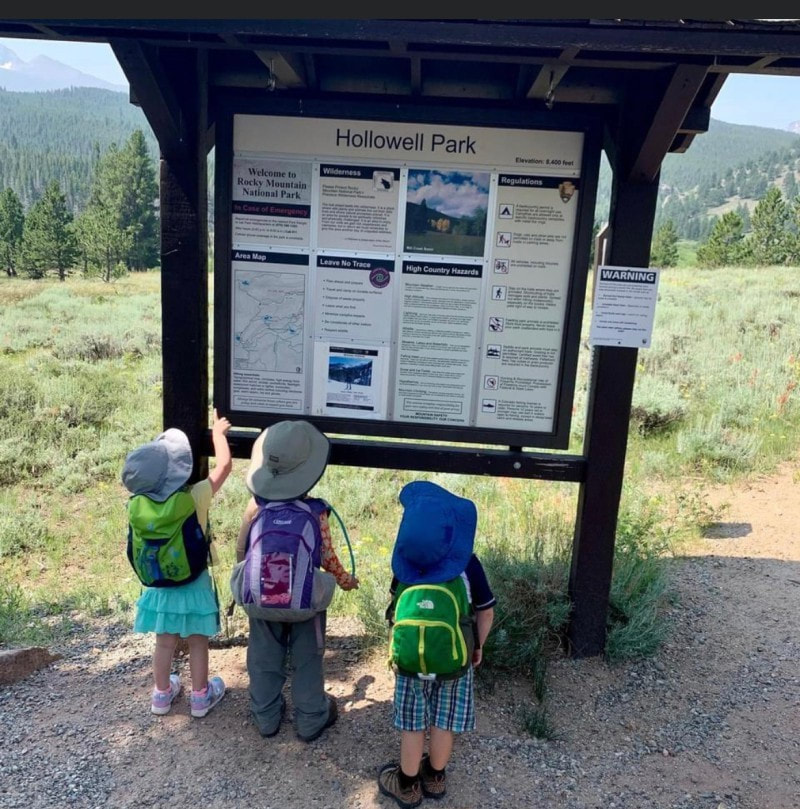
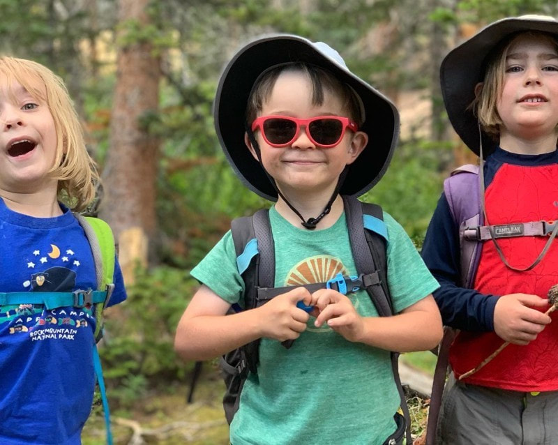
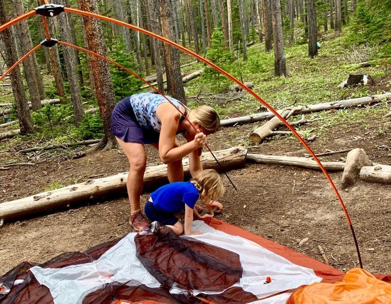
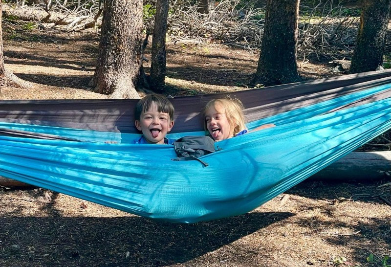
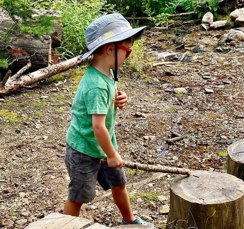
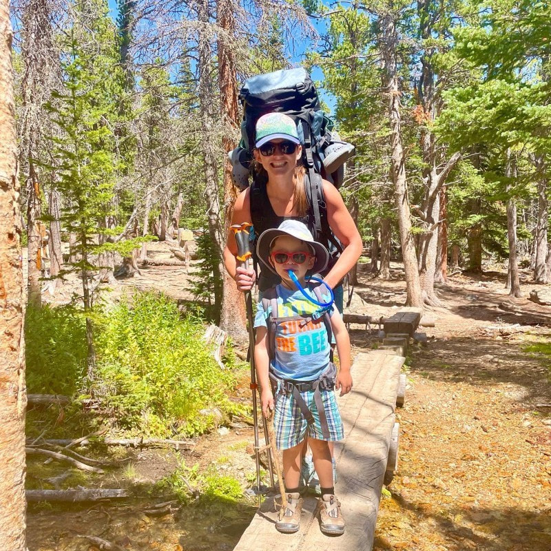
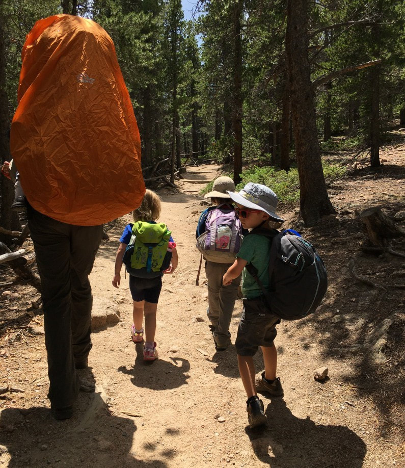
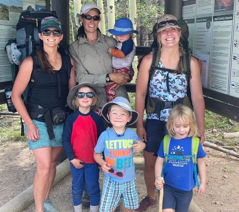
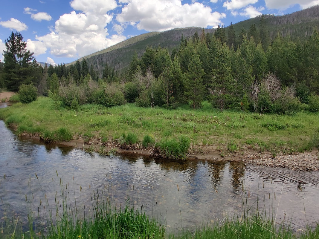
Story and photos by Rebecca Detterline, Estes Park “Auntie, my legs are feeling tired. Can you carry me?” Of course my niece, Adeline, is completely oblivious to the fact that I am already carrying a 45-pound backpack and both of my hands are occupied with the trekking poles I am using in an attempt to keep myself from tripping and falling, adding more scrapes and bruises to the bodily evidence of my backcountry clumsiness. At first, indulging this small request on short hikes seems harmless. Like a candy bar in the grocery store checkout line, it could quickly de-escalate a meltdown or even prevent one altogether. Additionally, unlike a trip to get groceries, a trip into the backcountry with children is totally optional and perhaps even self- serving for the adults organizing it. A child screaming to go home in the middle of a trail only half a mile from the trailhead doesn't exactly make me look like Auntie of the Year. I remind myself that she has done this to me on several summer backpacking trips and backcountry winter hut trips and that she always has an absolute blast once she arrives at the destination with her friends. She sobbed her eyes out while I shoveled M&Ms and gummy bears into her mouth on her first chair lift rides and now she loves them. She even had the audacity to look me straight in the eyes at water park and say, “Little girls never get to do anything fun." I am the adult here and I like to believe that my thought process is a bit more rational than that of a four-year- old. “No, buddy. My pack is too heavy and you are big girl now and you're going to have to walk to the campsite.” I feel sorry for interrupting the quiet solitude for the hikers passing by during her complete and utter emotional meltdown, and of course I feel a twinge of embarrassment as passersby look on with sympathy and what I imagine to be complete disapproval. In one minute, they will be several yards up the trail, enjoying their hike once more. I, on the other hand, hope to be hiking, camping and skiing with this child for the course of her outdoor upbringing and hopefully the rest of her life. So, my first piece of advice is: Let 'em scream. It's embarrassing and cringe-worthy and people might look down on you, but you are setting a precedent here and you need to stand your ground. My second tip strays a bit from the approach I just spent several paragraphs defending. Your job as the adult is to get this child to walk or run or gallop or cartwheel all the way to the campsite by whatever means necessary. Bribery with snacks has proven to be a highly effective strategy and the kids are burning through the calories like little hummingbirds anyway. For some kids, dried strawberries and organic crackers will motivate them for miles. Adeline requires sour gummy worms, chocolate and Teddy Grahams to maintain a pace of one half mile per hour. Speaking of pace, it is probably not going to be brisk. As an adult, I like to put my head down, hike quickly to camp, get my backpack off and start enjoying my time in the woods. Hiking with a child brings enjoying the journey rather than solely focusing on the destination to a whole new level. Every boulder, bog bridge and dilapidated cabin is an adventure waiting to happen. I've found the best strategy is to let the kids stop and really play a couple of times along the route. On a recent trip to the Moore Park campsite, we stopped at the Eugenia Mine for an hour on the way in and out. Once at camp, kids are pretty quick to entertain themselves. Sticks and rocks and imagination combined go a long way. I always bring a tarp and parachute cord to build a shelter in case of rain. A lightweight hammock is always a hit and books are great for winding down at bedtime. A string of battery-powered LED lights create a nice ambient light for kids who like to sleep with a night light. The one children's gear splurge that I absolutely swear by is the Big Agnes sleep system. The integrated sleeping pad sleeve keeps kiddos from sliding around and the bags are rated to 15 degrees. However, there is no need to spend a bunch of money to get your kids into the backcountry. Borrow a sleeping bag and sleeping pad from a friend or use of your old ones. Individual sites allow a maximum of seven people and group sites a maximum of twelve. Going with a group is always more fun. The kids can motivate each other by chasing one another down the trail and entertain each other while the adults set up camp, cook and collect water. Wilderness permits for backcountry camping become available on recreation.gov in early March and the most sought-after sites get booked within seconds. However, most child-friendly sites are not highly coveted, and I've had no trouble getting my first or second choice as long as I'm the website the day that reservations open. There were still a good amount of availability for many of these sites in September 2022. There are several sites in Rocky Mountain National Park within two miles of the trailhead. Specific information on all backcountry sites, including distances and elevation gain is available at https://www.nps.gov/romo/planyourvisit/site_details.htm. List of Recommended Campsites for Backpacking with Children: Cow Creek TH: Rabbit Ears, Peregrine Cub Lake TH: Cub Creek Hollowell Park TH: Mill Creek Basin, Upper Mill Creek Sprague Lake or East Portal TH: Wind River Bluff, Over the Hill, Upper Wind River Fern Lake TH: Arch Rock, Old Forest Inn Longs Peak TH: Moore Park, Goblin's Forest Wild Basin TH: Pine Ridge, Tahosa East Inlet TH: East Meadow North Inlet TH: Summerland Park Green Mountain TH: Big Meadows Group 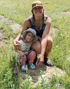 Rebecca Detterline is a lover all things RMNP. She is a wildflower aficionado whose favorite hiking destinations are alpine lakes and waterfalls. Her name can be found in remote summit registers in Wild Basin and beyond. Originally from Minnesota, she has lived in Allenspark since 2011. The publication of this article was made possible by Rock Creek Tavern and Pizzeria of Allenspark and MacGregor Mountain Lodge of Estes Park.
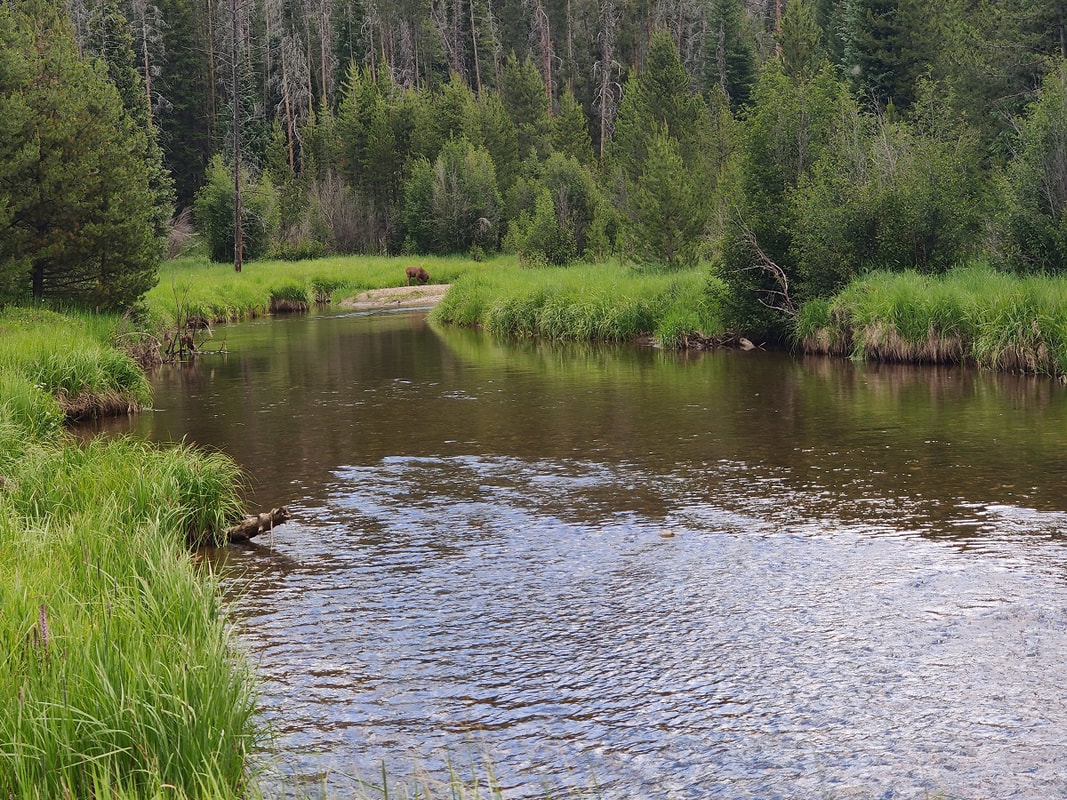
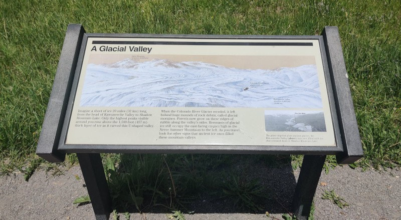
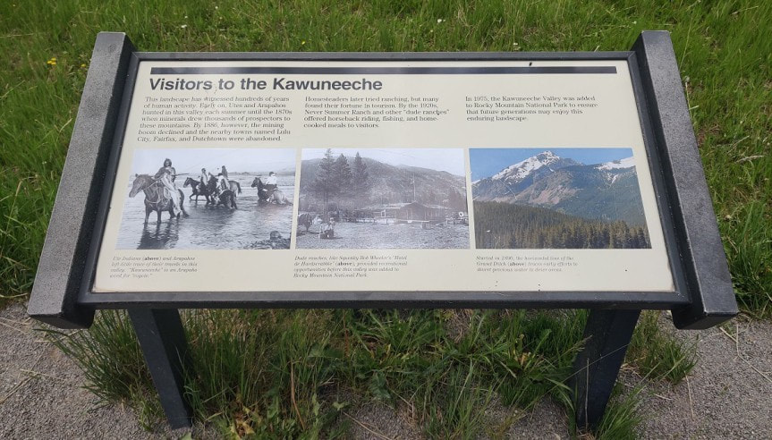
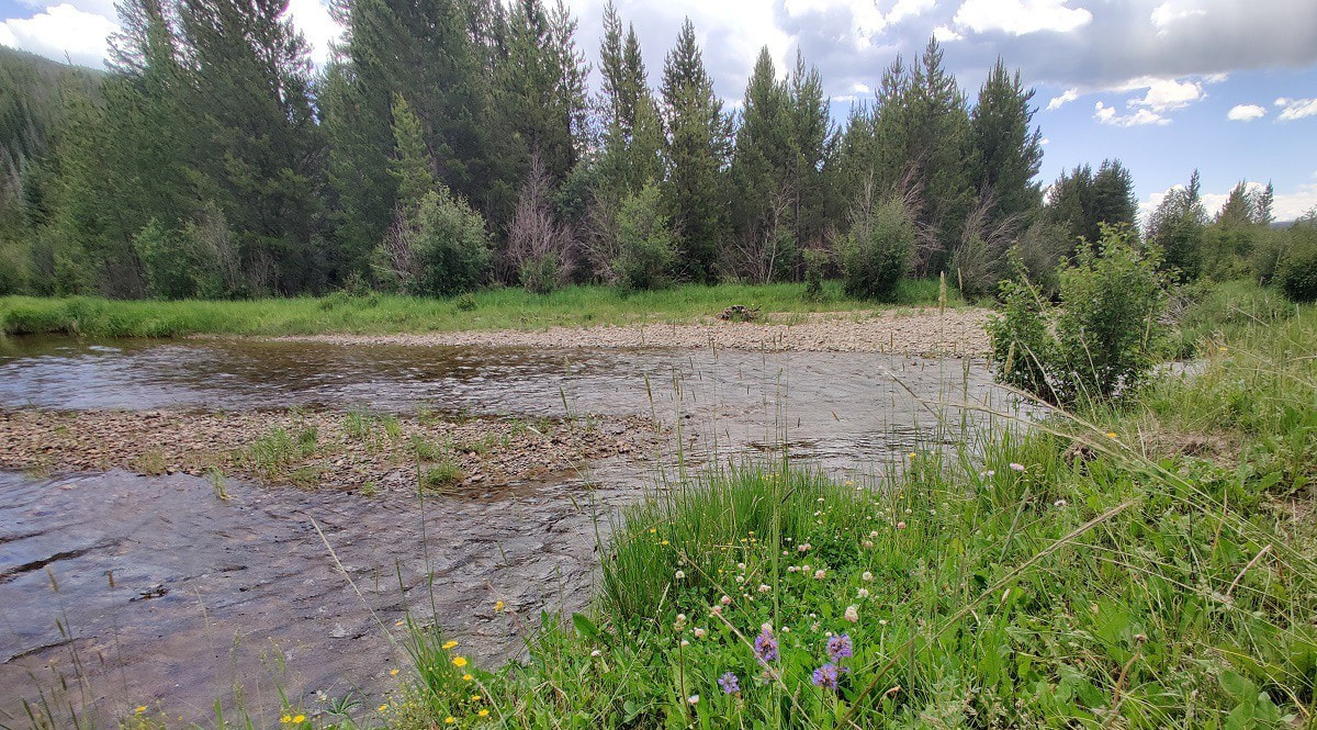
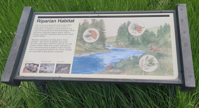
Deep history and geology in the Kawuneeche Valley Story, video, and photos by Barb Boyer Buck Video edited by Quinton Rusk The Coyote Valley Trail, located on the west side of Rocky Mountain National Park, is a half-mile stroll through the Kawuneeche Valley. Situated between the Front Range and the Never Summer Mountains, carved by glacial movements and the headwaters of the Colorado River, this mile-wide valley is beautiful and home to a plethora of wildlife. Two years ago, the East troublesome Fire burned into the southern part of this valley to create devastating damage extending into the town of Grand Lake. But where this trail begins, in the northern section of the valley, the land was spared. This is one of several handicapped-accessible, interpretive nature walks in Rocky that immerse the visitor in a comprehensive science and history lesson. It also offers many spots to rest, great access to the Colorado River for some catch-and-release flyfishing, and wonderful wildlife viewing. Signs along the way educate the visitor about the history and ecology along headwaters of the Colorado. 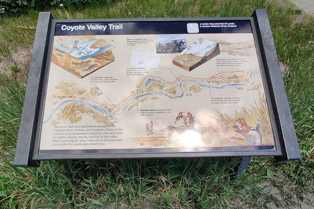 To truly understand this valley, we need to go back tens of millions of years ago. Through the violent creation of the mountains surrounding the Kawuneeche (Arapaho for “Coyote Creek”) Valley, there are outcroppings of rock that date back nearly two billion years – formed before the evolution of multi-cellular life. Rocky Mountain National Park now preserves some of the most expansive mountainous terrain in the country but this land once was covered in a vast sea, for the most part. The formation of the Front Range which is adjacent to the valley on the east side, started with what geologists call the “Laramide Orogeny or Revolution." “Near the end of the Cretaceous Period… poorly understood forces began to propel the range upward…” wrote historian Thomas G. Andrews in his book, Coyote Valley: Deep History in the High Rockies (2015). “By the time the earth ceased its squeezing and thrusting about 45 million years ago, the former low-lying heart of North America had risen some three miles above sea level.” Next came the formation of the Never Summer Mountains. Volcanic eruptions approximately 27 million years ago created these mountains that border the west side of Kawuneeche Valley and the southwest edge of Rocky Mountain National Park. These mountains were once up to 17,000 feet in elevation before erosion whittled them down. Nestled between these two ranges is the subject at hand: a low- lying area where the forces of water and ice carved out a nearly 20-mile long valley, running north-south. The first traces of human activity in this valley are from approximately 13,000 years ago, but its use diminished and by 11,000 years ago, when the ice age made another severe grip on the area, humans had moved on to warmer climates. Slowly, the weather improved and people returned to the valley to hunt and gather in the summer months. This magical valley, created by the forces of adjacent mountain-building events and continuous glacial reduction had been utilized and managed by these humans for ten thousand years before the arrival of any other people. North American native populations were displaced from their homelands beginning in the 16th century with the arrival of the Spanish, pushing indigenous nations further west over the next three centuries. But the northern part of the Rockies remained too remote for Spanish colonization, and the adaptive nature of the Nuche (ancestors of the Ute Nation) allowed them to thrive in their nomadic territories, especially after the arrival of the horse. Eventually, the displaced Arapaho nation utilized these hunting grounds, too, and fierce battles were held between the two nations in the Kawuneeche Valley. European colonists appeared with the fur traders, then those seeking silver and gold, and finally, settlers. By the late 1800s, the Nuche were displaced permanently and thus, their nomadic mountain tradition came to an abrupt end. Settlers arrived in the late 1800s to “try their hand at ranching,” but most of these homesteads were eventually turned into guest ranches. The Kawuneeche Valley was added to Rocky Mountain National Park in 1975. Now, let's turn our attention to the headwaters of the Colorado River which cuts through the Kawuneeche Valley and travels on to Mexico, 1,450 miles long. It passes through 11 National Parks and is the sixth longest river in the nation. This waterway created the Grand Canyon and is used for water supply in several drought- prone cities such as Las Vegas, Los Angeles, Phoenix, and Houston. Today, the river runs at critically low volumes in these watersheds. “Water stored in the Colorado River's biggest reservoirs has declined during the past two decades due to climate change and overuse. The river and its tributaries provide drinking water to 40 million people, and irrigate millions of acres of cropland. In addition to the seven U.S. states, the river also crosses into Mexico and provides water supplies to cities and farmers in two Mexican states as well.” (from “7 states and federal government lack direction on cutbacks from the Colorado River,” by Luke Runyon for NPR, published August 27, 2022). The article goes on to state this shortage has been linked to decades of poor water management along the reservoir routes and may lead to the eventual elimination of recreational and irrigation uses of the Colorado River. But along its headwaters, it is running clear and fast – even in late summer, due to the above-average precipitation experienced in Rocky Mountain National When you stroll along the Coyote Valley Trail, the riparian habitat is thriving and hosts a plethora of wildlife such as moose, beaver, and muskrat while numerous species of trout swing in the river. Deer, moose, and elk stop by for a drink, insects buzz (remember your bug spray!), and frogs sing. It’s the perfect place to learn something new!  Barb Boyer Buck is the managing editor of HIKE ROCKY magazine. She is a professional journalist, photographer, editor and playwright. In 2014 and 2015, she wrote and directed two original plays about Estes Park and Rocky Mountain National Park, to honor the Park’s 100th anniversary. Barb lives in Estes Park with her cat, Percy. This piece of local and independent journalism was made possible by Backbone Adventures and Kirk's Mountain Adventures, both of Estes Park.
|
Categories
All
|
© Copyright 2025 Barefoot Publications, All Rights Reserved

