|
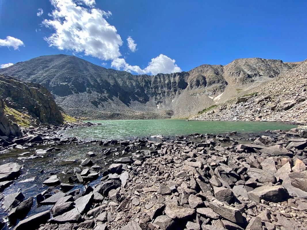
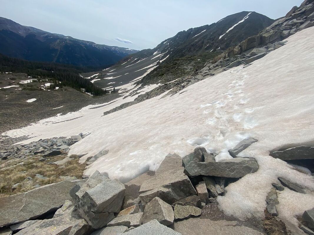
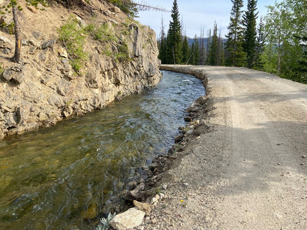
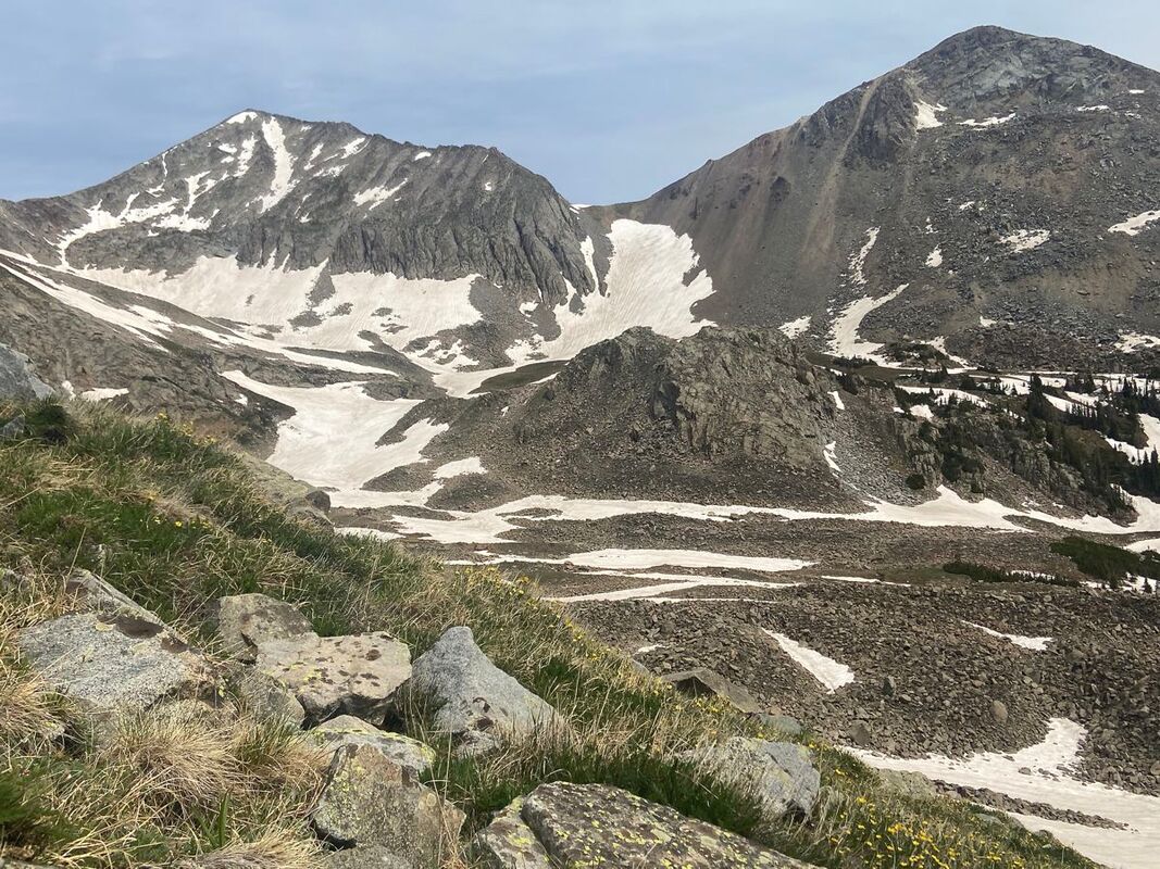
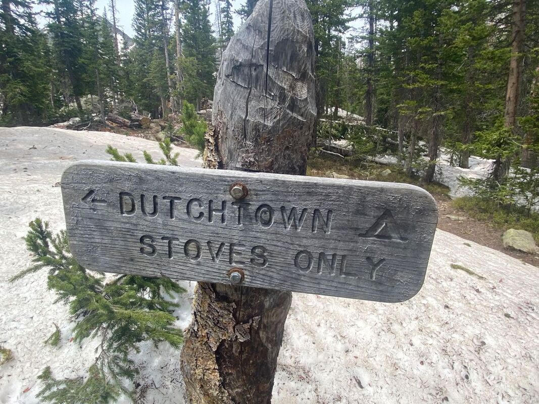
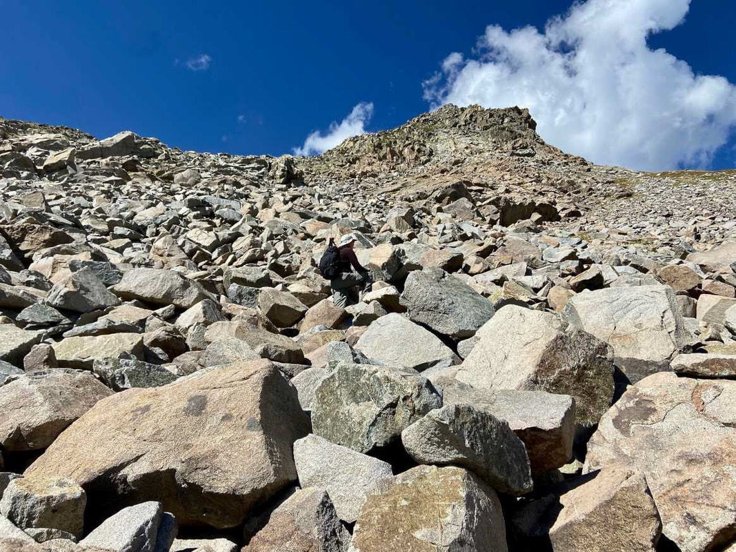
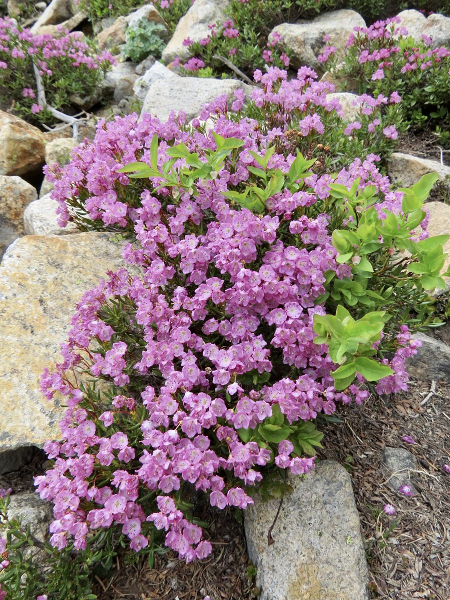
This article is extracted from the current issue of HIKE ROCKY magazine; to learn more about becoming a member to read the entire publication, click here Story and photos in all seasons by Marlene Borneman Lake of the Clouds Mileage: 14 miles round trip, in and out Elevation gain: 2,390 feet Class 2: Use of navigation skills, may use hands for balance on steep talus slopes/boulders Rated: Difficult Lake of the Clouds sits at 11,430 feet among the “cloud” peaks named after cloud formations. Mount Cirrus and Mount Howard loom above the lake with Mount Cumulus and Stratus to the south. It is the largest lake west of the Continental Divide in the Never Summer Range. This section of the park is remote, rugged, encompassing stunning alpine scenery. Before mid-July be prepared to hike on snow including steep snowfields which may require special gear and experience on snowfields. This adventuresome hike starts at the Colorado River trailhead. The trail sets off steeply but soon levels off into quiet forest and meadows. Wildlife is often seen near the river so be watchful for elk, moose, and deer. The trail continues up switchbacks for 3.5 miles until the Grand Ditch Road is reached. The Grand Ditch is a 15-mile canal built over a hundred years ago to divert water (run off) from the Never Summer mountains to the east side of the Continental Divide. The water would otherwise go into the Colorado River. This diversion is a water source for the Front Range and beyond to the eastern plains. The Colorado River was formerly called the “Grand” River where the name Grand Ditch was derived. Work on the ditch began in 1894 and was finished in 1934. It is easy walking on the ditch road giving time to soak up the views. A variety of wildflowers grow along the “ditch” and in late summer, ripe tasty raspberries. Follow the Grand Ditch Road for 1.8 miles to Hitchens Gulch crossing a foot bridge. Here Big Dutch Creek cascades into the Grand Ditch. Now, the adventure really begins. Follow the trail to the backcountry campsite Dutchtown. Dutchtown was a mining camp named after German (Dutchmen) prospectors abandoned in 1884. Along the way several lush meadows line the trail filled with alpine laurel, marsh marigolds and globeflowers. Gortex boots come in handy hiking in these wet and often very muddy meadows. In early summer avalanche lilies are a treat to find along this section. In late June throughout most of the summer rose crown, Indian paintbrush, star gentians and many more wildflowers color the landscape. Leaving Dutchtown campsite the trail becomes faint. Stay on the north side of the creek following cairns to reach a large boulder/talus field. This boulder/talus slope is immense and feels overwhelming. A sizeable“bowl” sits above this steep slope which holds Lake of the Clouds. An impressive waterfall flows from the lake down the boulders below forming Big Dutch Creek. Looking north are dramatic views of Lead Mountain. On the boulder/talus slope there are many cairns going in every direction. No matter which route taken, stay on the north side (right hand side) of the waterfall scrambling up large boulders. Assume every boulder will move when stepped on, so balance is key. Grassy ledges above the boulders offer a route on somewhat easier terrain. Topping out on tundra, it is an easy walk to the lake. Lake of the Clouds offers sweeping views. The lake is surrounded by alpine flowers; Old Man of the Mountain, columbines, dotted saxifrage, moss campion, sky pilot, alpine avens just to name a few. Whistles of yellow-bellied marmots and squeaks of pikas may also be part of the scene. Marmots are the largest member of the squirrel family. Marmots are very curious animals. Walking away from a daypack is just an invitation for a marmot to tear into it in search of food. Marmots hibernate in the winter so summer months they are occupied gaining body fat. Pikas are hard- working small furry mammals in the rabbit family. Pikas do not hibernate. They scurry rapidly across the tundra gathering plants to store for their winter food stash. Follow the route back to the Grand Ditch Road down to the Colorado River trailhead. Some may say this is a really demanding hike, but the rewards of the day are worth every step.  Marlene has been photographing Colorado's wildflowers while on her hiking and climbing adventures since 1974. Marlene has climbed Colorado's 54 14ers and the 126 USGS named peaks in Rocky. She is the author of Rocky Mountain Wildflowers 2nd Ed, The Best Front Range Wildflower Hikes, and Rocky Mountain Alpine Flowers. This story of local and independent journalism was made possible by: Castle Mountain Lodge and Rock Creek Tavern.
0 Comments
Leave a Reply. |
Categories
All
|
© Copyright 2025 Barefoot Publications, All Rights Reserved

