|
Notes from the
Trail |
|
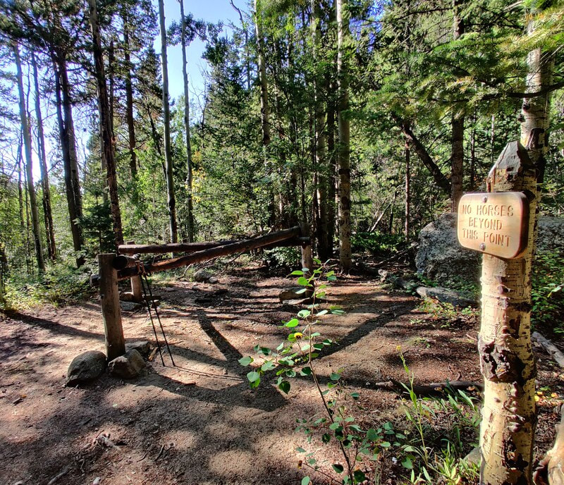
Story and photos (except the last one) by Barb Boyer Buck Before I go into details of the Cow Creek Trailhead hiking opportunities, there are several things to keep in mind. First, parking is extremely limited and fills up quickly. Roadside parking, or parking in a homeowner's driveway is strictly forbidden. Respectful usage of this trailhead is a must as there are sensitive ecosystems, private land, active researchers, and lots of wildlife also inhabiting the Cow Creek Valley. The McGraw Ranch Road, which is your only access to this trailhead, is a dirt road with mild washboards and can be easily accessed from Devil's Gulch Road, on the north side of Estes Park. If you want to hike this trail, my advice would be to go very early in the morning, or late afternoon. Please remember in the summer months, afternoons often bring thunderstorms and several portions of this hike crosses wide-open meadows. It is not advisable to hike during a thunderstorm, lightening strikes are a very real possibility. If you find yourself wanting to hike this trail at any other time of the day, the best thing to do is have someone drop you off at the trailhead; however, cell phone reception is pretty much non-existent in the area. If you decide on this option, have a plan to meet at a specific time with the understanding that idling cars waiting to pick up delayed hikers are also not permitted. Instruct your driver to check back occasionally if you are not there when you expected to be.
The site of the old McGraw Ranch still has buildings, including one that has been standing since 1871, the original homestead cabin of Harry Farrar. Others were built between 1884-1887, and most of the guest cabins were built between 1935-1936 by Frank and John McGraw (for more history of the ranch's early days, see part one of The Cow Creek Trail, published last week).
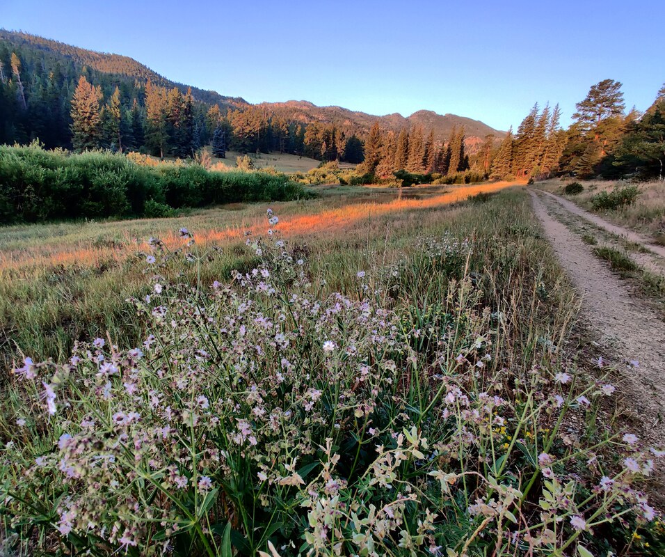
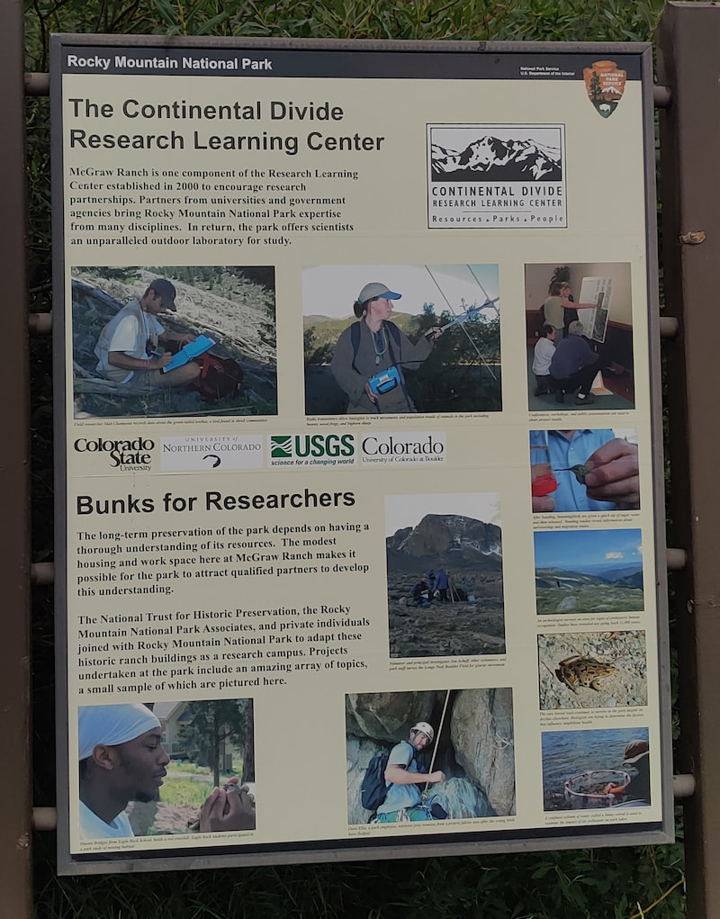
Researchers from Northern Colorado, Colorado State University, and the University of Colorado, along with the United States Geological Survey, now use the surrounding land as an outdoor laboratory. Onsite housing, laboratories, meeting rooms, and dining areas for these individuals are provided by the ranch buildings. The renovation of the buildings started in 1999, the culmination of a partnership between the NTHP and several private citizens to restore the McGraw Ranch buildings to their heyday as a guest ranch, between 1936-1955. The research center opened in 2003, becoming an important site to gather significant data in RMNP; Rocky Mountain National Park is designated as a United Nations Educational, Scientific, and Cultural (UNESCO) international biosphere reserve. From butterflies (there are 142 species confirmed in RMNP) to climate change, these studies provide important, scientifically-gathered information for the entire world. 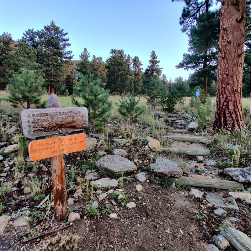 Morning sunrise on the Cow Creek trail I started my hike at dawn, just before 6 a.m., at the research center. Very soon, the trail has an intersection on the right with the North Boundary Trail which branches up and east. The beginning of the way to Bridal Veil Falls was lit with the sun at my back, glorious coloring the late-summer vegetation and a whitetail deer, grazing along the edge of the trail. 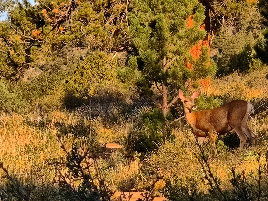 A deer enjoys the early-morning light on Cow Creek Trail.
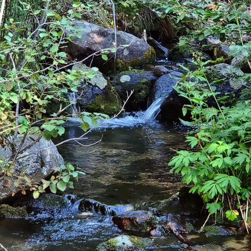
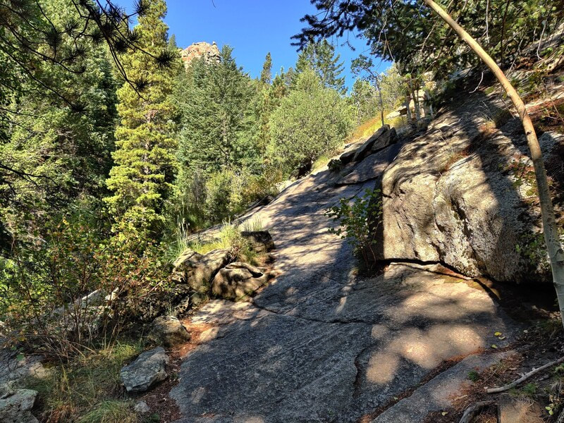
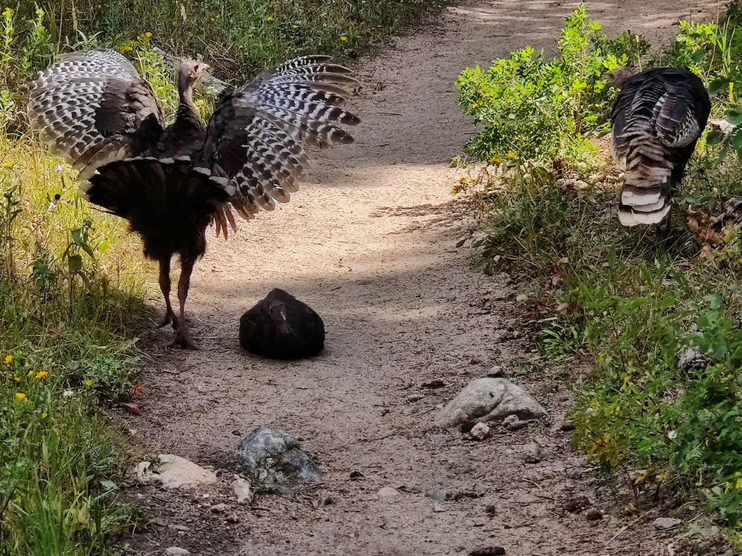
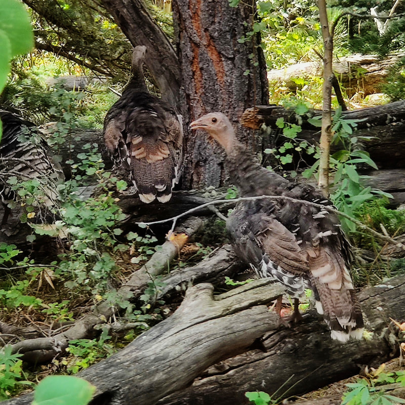
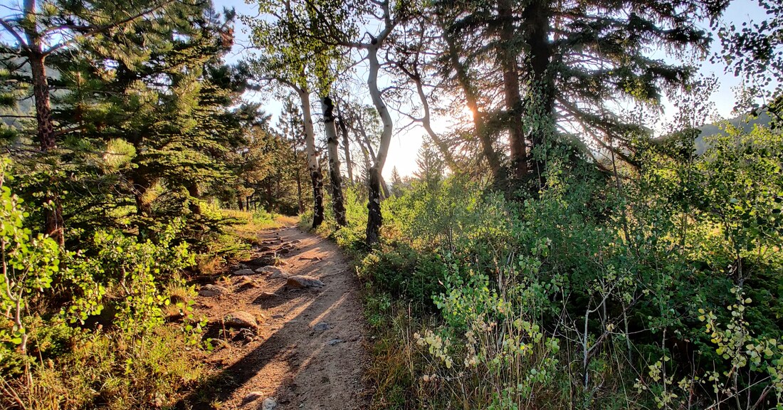 Early morning on the Cow Creek Trail. The first part of the hike is a beautiful meadow that climbs a bit before it wanders back to Cow Creek. For most of the hike, you can hear its rushing or trickling waters, something I enjoy very much. It's so relaxing. I needed a bit of calming down because I was anxious about taking this hike by myself, the first one with a distance of more 2 miles I've taken on my own since my back surgery. And there was no one else on the trail that early in the morning. 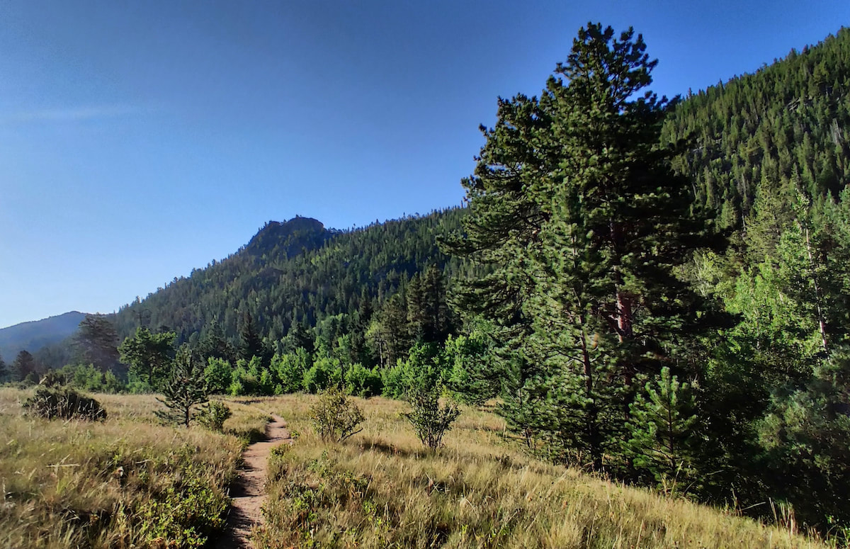 The Cow Creek trail Every rustle in the trees had me looking - this is bear country after all! It's also a hunting ground for mountain lions, although it's very rare to see these creatures anywhere near humans. A bit further down the road comes another trail crossing, this time giving you the option to turn left to hook up with the Lumpy Ridge Trail to visit Balanced Rock and Gem Lake. 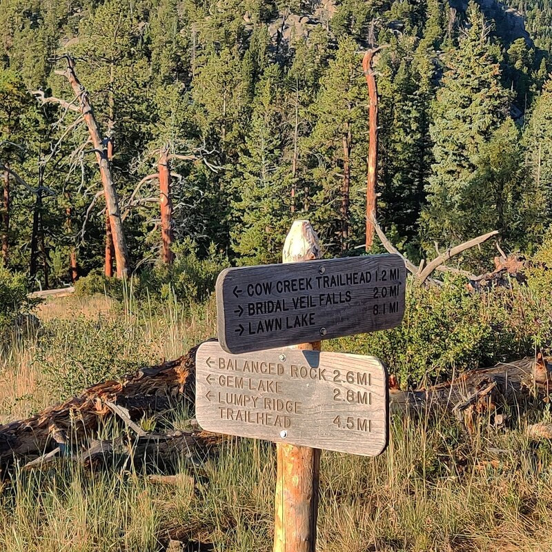 The connection with the Lumpy Ridge Trailhead leads to Balanced Rock & Gem Lake.
Just beyond this spot, there are some steep rocks before the trail picks up again. I didn't dare do this on my own so I guess neither horses nor I would get any further.
It was frustrating because ED. (more about ED. next week) told me I was essentially there, but I couldn't chance it. Just a few weeks ago, a woman took a tumbling fall, sustaining serious injuries, above Bridal Veil falls (see more info here: https://www.rockymountaindayhikes.com/rmnp-updates.html) So, I ate some fruit, drank some water and started back. I saw several more people on the trail and I was grateful to be coming back. The sun was higher now, and it was starting to get hot.
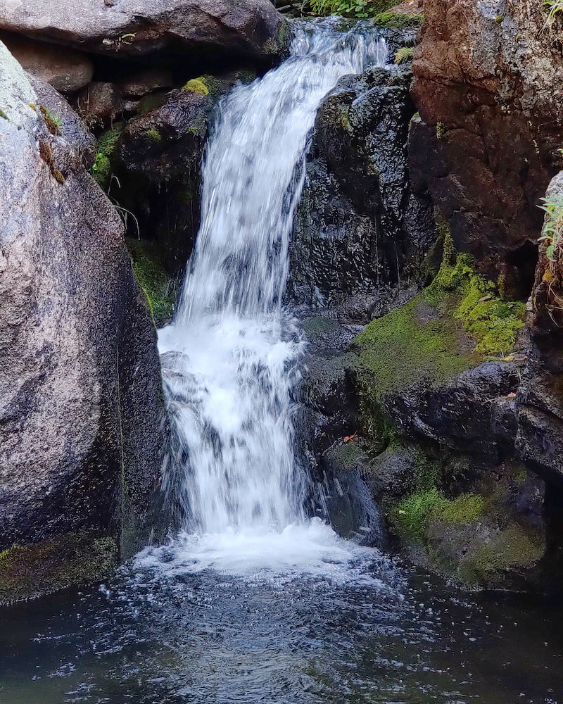
When I passed through the meadows again, the butterflies were flitting all around me, enjoying the late-August sunshine. It took me about five hours to do six miles roundtrip but remember, I stopped to take many pictures along the way. It was worth it and I needed it. It was the first morning without any smoke haze after two days of good rain. The air was clear, the sky was blue and the morning light was perfect. Happy hiking, everyone! 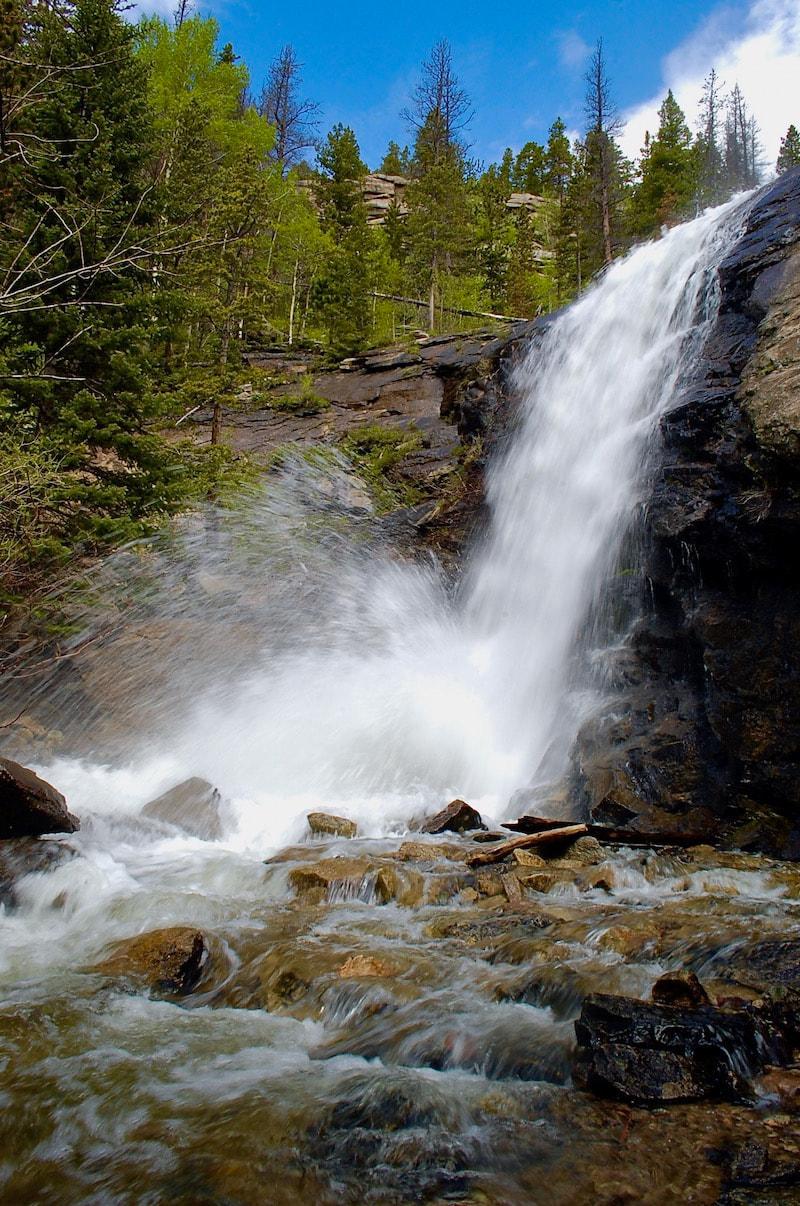 Bridal Veil Falls (photo taken at mid-June)
0 Comments
Leave a Reply. |
"The wild requires that we learn the terrain, nod to all the plants and animals and birds, ford the streams and cross the ridges, and tell a good story when we get back home." ~ Gary Snyder
Categories
All
“Hiking -I don’t like either the word or the thing. People ought to saunter in the mountains - not hike! Do you know the origin of the word ‘saunter?’ It’s a beautiful word. Away back in the Middle Ages people used to go on pilgrimages to the Holy Land, and when people in the villages through which they passed asked where they were going, they would reply, A la sainte terre,’ ‘To the Holy Land.’ And so they became known as sainte-terre-ers or saunterers. Now these mountains are our Holy Land, and we ought to saunter through them reverently, not ‘hike’ through them.” ~ John Muir 
|