|
Notes from the
Trail |
|
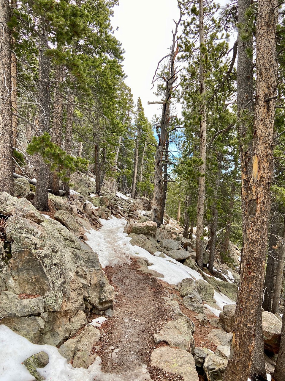
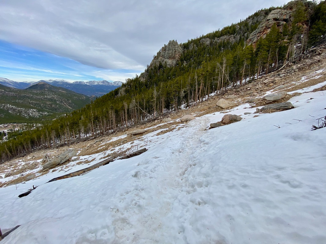
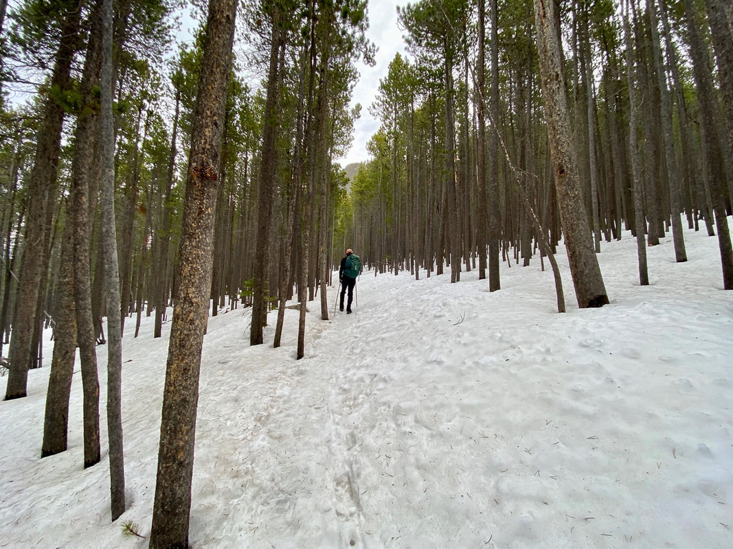
"Spring is when you feel like whistling even with a shoe full of slush." - Doug Larson Twin Sisters Mountain: East Summit 11,428 feet West Summit 11,413 feet 7.5 miles round trip 2,253 feet elevation gain Go to the Twin Sister Trail Profile in the RMNP Trail Guide by Trail Correspondent, Marlene Borneman May 1 is tied to folklore as well as historical significance. In some countries it is a celebration of laborers similar to our Labor Day in September. I remember May baskets and dancing around the maypole celebrating the return of spring. My husband and I started the month of May by hiking to the summit of Twin Sisters Mountain. This mountain has two distinct summits giving its name. The established trail leads to the west summit, the lower by fifteen feet. The day was a warm fifty-six degrees with clear skies and only a few cars in the parking lot at 6:30 a.m. April and May are mud season months as snow is rapidly melting with warmer temperatures; spring conditions. We walk a short distance on the snowy/muddy road leading to the trailhead kiosk. We found the trail snow-packed with a soft crust so no need for snowshoes or micro-spikes, however trekking poles were helpful.
 Viewpoint along the trail
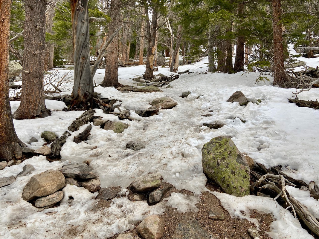
Once across, the route becomes steep and indistinct in places. It is here we encountered some ice, cautiously take baby steps to avoid slipping. After a couple of short switchbacks we re-join the original trail.
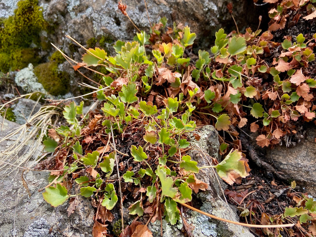
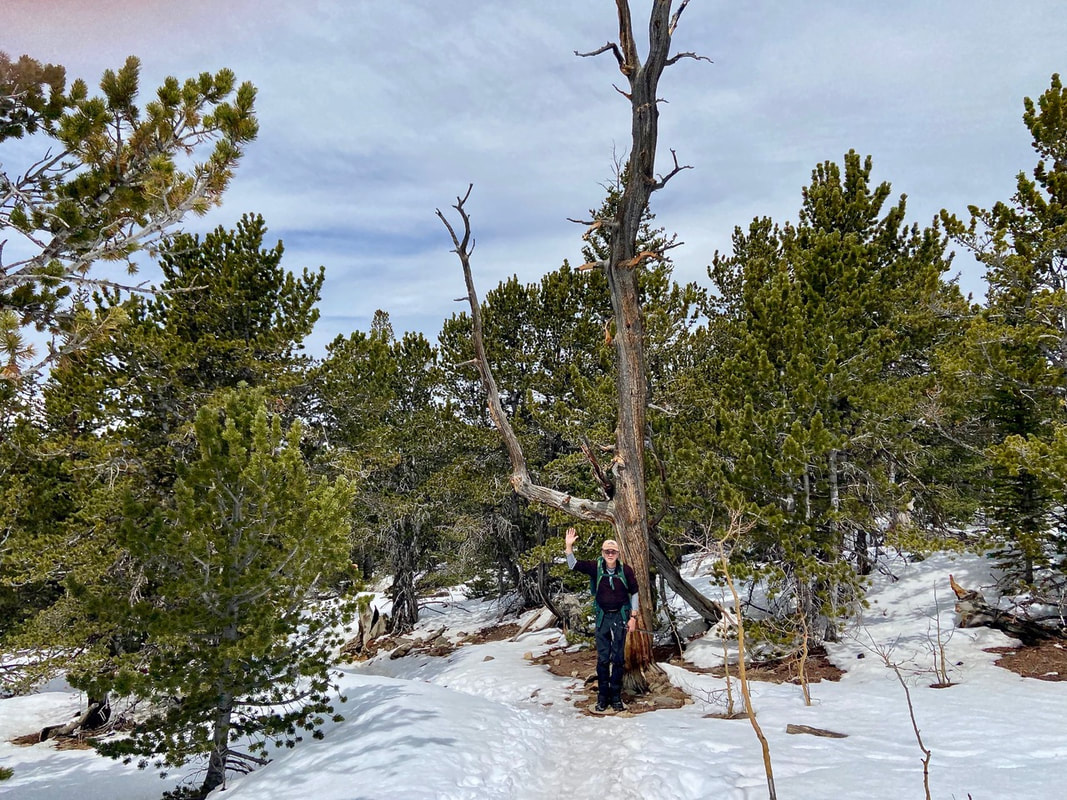
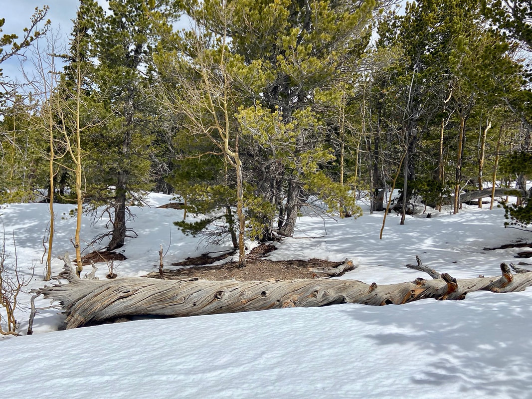
Near treeline I see a familiar old snag “waving” us to a favorite resting spot; a smooth, large dead log. After enjoying a snack and water we return to the trail hiking through a subalpine fir forest. Subalpine refers to a transition zone between thick forest growth shifting to stunted small trees then to treeless alpine tundra. Fir trees are commonly seen at this altitude. They are sometimes called “friendly” firs as their needles are soft to the touch.
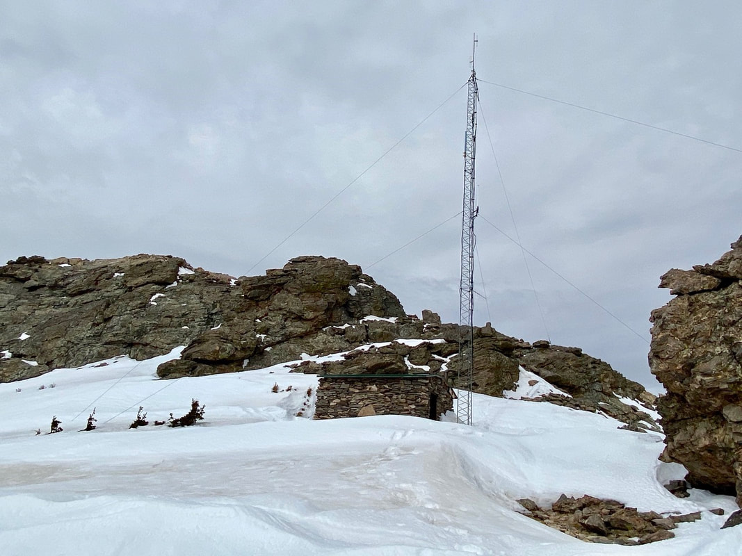
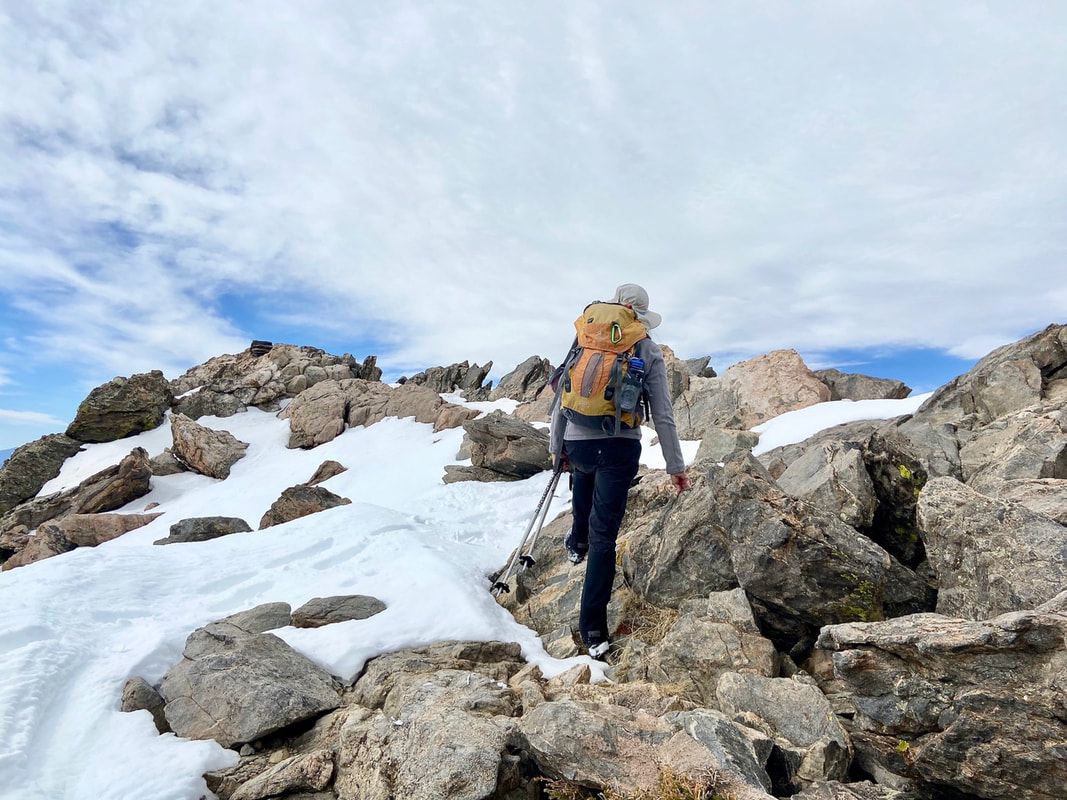
Suddenly, we break out of the trees where the trail cuts across a rocky talus slope, snow covered in these spring conditions. A couple more switchbacks brought us to the saddle between the two “sisters.” 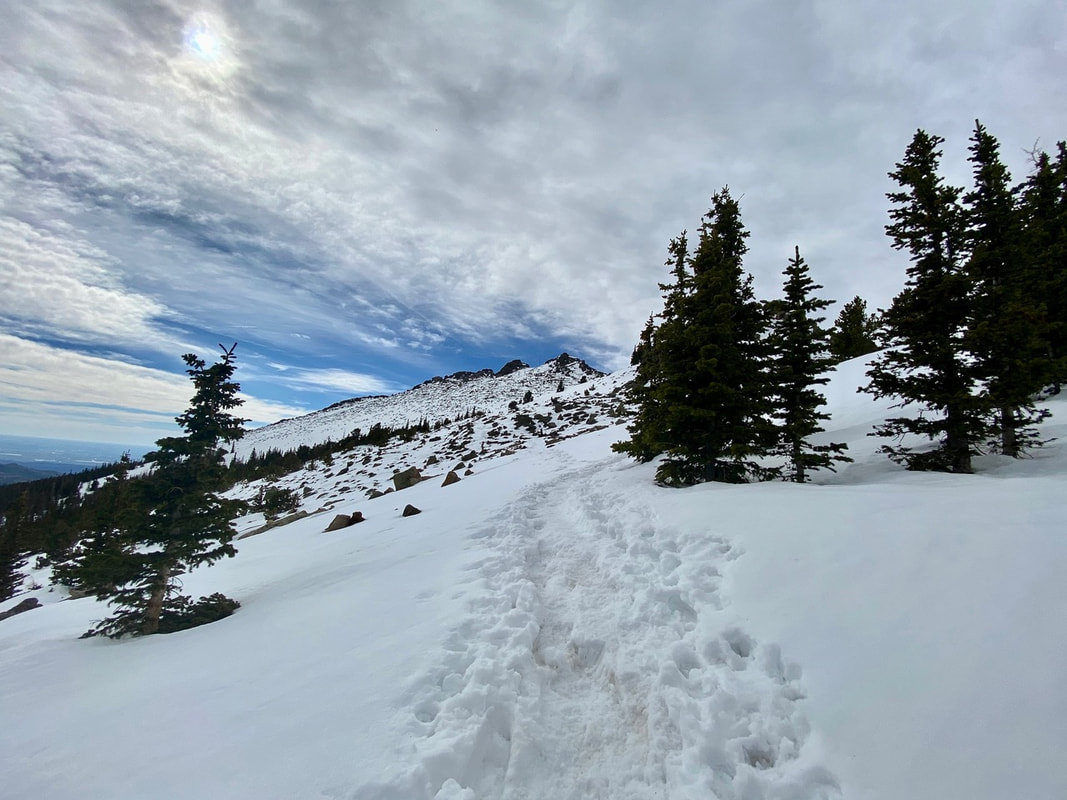 Above treeline Here a stone hut and a radio communication tower stand which are still used today for emergency purposes. We stay right of the stone hut then turn slightly left up a small gulley. Scrambling up the rock outcroppings we work our way up to the western summit. A fire lookout tower used to rest on the summit but now just a bit of history as it was taken out in 1977.
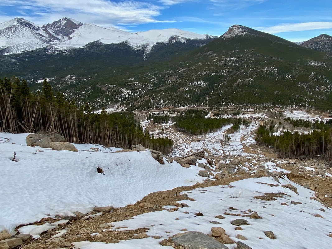
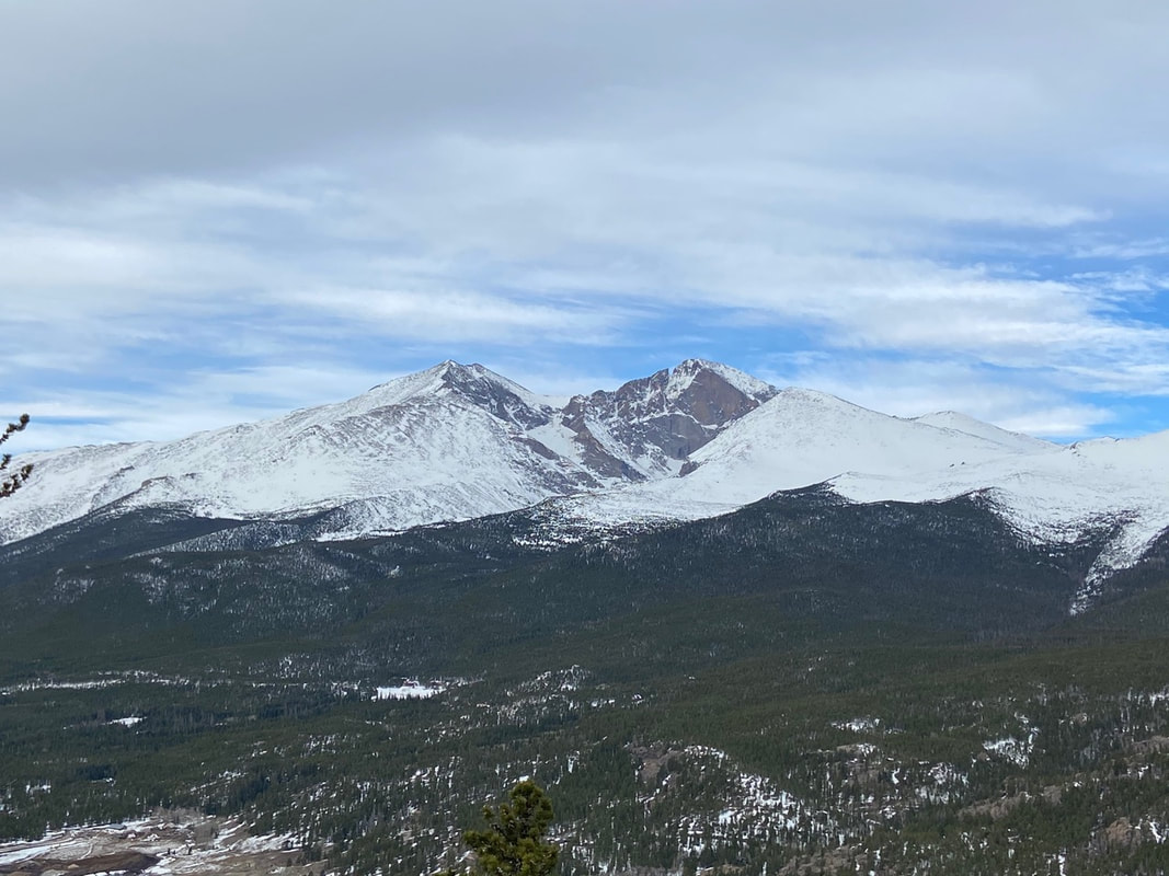
A commanding 360 view lies before us: Longs Peak, Mummy Range, Continental Divide, Estes Valley, the plains to the east, to the south Mount Evans and Pikes Peak. The summit was all ours for a brief time, but soon we made room for other hikers to enjoy this spot of earth. 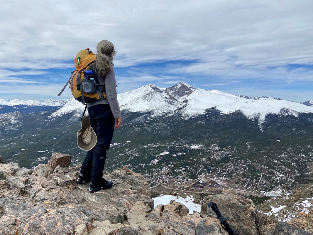 East summit with spectacular view of Longs Peak We headed down for lunch near the stone hut gazing over to the eastern summit. We decided to forgo the east summit and retrace our steps back in the snow. The snow had softened so much we could easily “boot-ski” to timberline! The snow had also melted considerably at the end of the trail leaving thick, sloppy mud behind. Mud season 2021 had officially arrived! 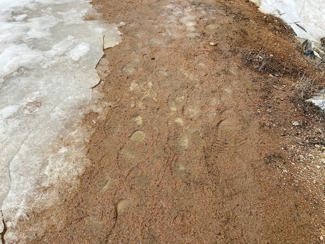 Mud season RMDH Trail Correspondent Marlene Borneman has climbed Colorado’s 54 14ers, the 126 USGS named peaks in Rocky Mountain National Park and 44 State High Points. She has been a member of the Colorado Mountain Club since 1979 and is a member of the Colorado Native Plant Society.
0 Comments
Leave a Reply. |
"The wild requires that we learn the terrain, nod to all the plants and animals and birds, ford the streams and cross the ridges, and tell a good story when we get back home." ~ Gary Snyder
Categories
All
“Hiking -I don’t like either the word or the thing. People ought to saunter in the mountains - not hike! Do you know the origin of the word ‘saunter?’ It’s a beautiful word. Away back in the Middle Ages people used to go on pilgrimages to the Holy Land, and when people in the villages through which they passed asked where they were going, they would reply, A la sainte terre,’ ‘To the Holy Land.’ And so they became known as sainte-terre-ers or saunterers. Now these mountains are our Holy Land, and we ought to saunter through them reverently, not ‘hike’ through them.” ~ John Muir 
|