|
Research & story by Hillary Eichinger Rocky Mountain National Park is not only home to stunning views and amazing wildlife, it also preserves more than 600 buildings. In the 107 years since its inception, the Park has changed shape and size, incorporating natural areas, old mines, irrigation ditches, dams, logging camps, commercial areas like hotels, and original homesteads. National Park Service specialists maintain the integrity and upkeep of its historic places including trailheads, natural areas, and buildings. The area around Estes Park and the Longs Peak area has been a popular destination for tourists, adventurers, and outdoor enthusiasts since the late 1800s. Before the Park was founded, a great deal of the land belonged to the National Forest Service and various private holdings. Many of these holdings were homesteads, ranches, patented mineral mines, timber camps, and stone quarries. These private-owned properties were dotted across some of the Park's most famous destinations including Bear Lake, Horseshoe Park, Moraine Park and the area between Lulu City to Grand Lake. At the time of its founding in 1915, the Park was 229,062 acres, 11,000 of which was inholding property. This included various ranches, farms, mines, and 15 hotels. A great deal of the visitation was capitalized on by building hotels and backcountry lodging.
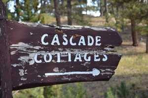
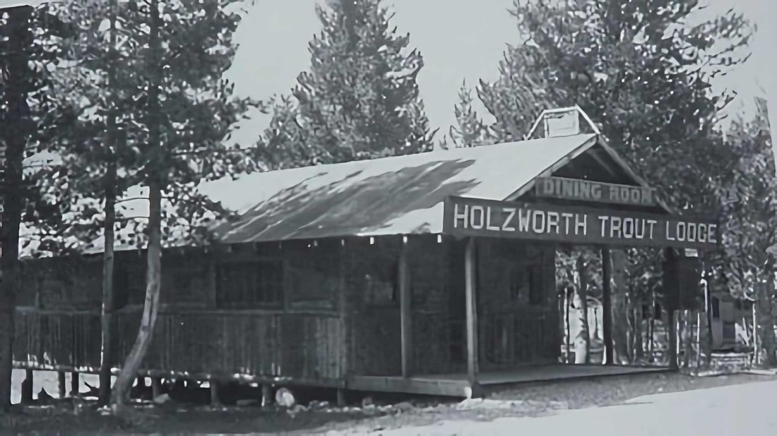
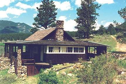
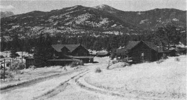
and Hazel Davis who expanded it to accommodate the growing tourist population. The Cascade Lodge, later called Cascade Cottages, was made for tourists coming to the area who wanted to experience the outdoors in a rustic setting. The new owners changed the lodge's design and style to match the growing popularity of the motel motorway. Roads and drive-up cabins soon were soon updated to accommodate motorized visitors. Located along Fall River Road, Cascade Cottages grew in popularity and the accommodations had to be expanded again in 1960. It was owned and operated by three generations of the Davis family, staying open to visitors until 2016. The Park purchased it a year later through combined fundraising efforts by the National Lands Trust, the Rocky Mountain Conservancy, and the National Parks Service. At 43 acres, it was one of the largest privately-owned properties within the Park boundaries. Fourteen buildings of historic significance remain, including some of the original cabins. Some of the ranches took advantage of the vast visitor base and became dude ranches, offering trail rides and overnight accommodations. After selling their homestead near Lake Granby, John and Sophie Holzwarth bought property on the west side of the Colorado River in 1917; 160 acres in the Kawuneeche Valley. A few years later, they increased the family's holdings in size by 900 acres with the addition of the nearby Fleshut Ranch. An original cabin, named 'Mama' by the Holzwarth's, still stands today. The family's original intention for the property was to build a horse and cattle ranch, but when the nearby Fall River Road (which now connects with Trail Ridge Road) opened in 1920, they soon discovered serving the passing motorist tourist industry was more lucrative. They built small cabins on the property and called it the Holzwarth Trout Lodge. 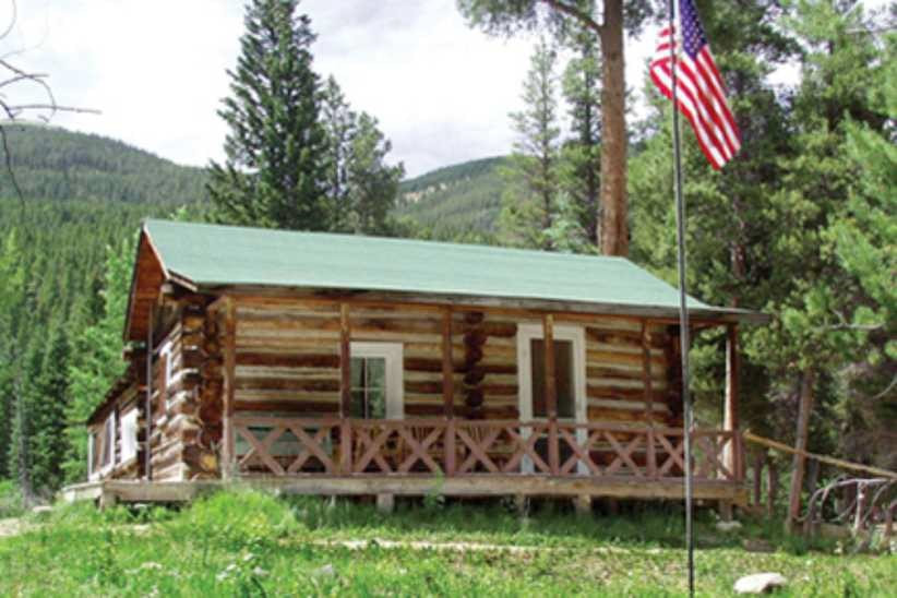 “Mama” cabin on the Holzworth site; courtesy RM Conservancy “Mama” cabin on the Holzworth site; courtesy RM Conservancy In 1923, Holzwarth's son Johnnie established and ran the Fleshut property as a ranch, renaming it Never Summer Ranch. He also built a saw mill in 1924 that served the family's large property and nearby areas. In 1957, there were eight buildings at the ranch and 13 at Trout lodge. In 1975, the Park acquired the combined Holzwarth properties and a year later, the Park's boundaries were expanded to include the area. Never Summer Ranch was listed in the National Register for Historic Districts in 1977. In 2004, the area was renamed the Holzwarth Historic Site and is used for education purposes and open seasonally to the public. Between 1941 and 1951, Rocky's visitor population increased from 663,000 to 1.33 million. This increase caused the Park Service to rethink their buildings and facilities within the Park. The historic buildings within the Park today that are still in working condition have been preserved or converted into functional buildings. Most of these buildings are ranger stations, volunteer housing, and support facilities for the growing number of visitors. By 1966, in a massive undertaking to accommodate for the growing visitor base, Rocky built and opened three new visitor's centers. The Beaver Meadows Visitor Center, Alpine Visitor's Center and the Grand Lake Visitor Center. All three were at the forefront for modern park design by combining shopping, food and preliminary information about RMNP in a central location. The visitor centers also function as the Park's administrative buildings. Today, all three visitor's centers are intact and actively being preserved as part of the Park's long history. Most of the original buildings in the Park that are still standing are considered historic and are on the National Register for Historic Places. One of these buildings, built in 1930, is now being used as the Glacier Basin Campground Ranger Station. The William Allen White cabin, located in Moraine Park has been preserved and updated to accommodate the artists in residency program. White, a newspaper editor, used this cabin as his summer residence from 1912-1944. To qualify for the Register, a building has to contribute historically to our understanding of engineering, archaeology, culture or architecture. The building also has to be over fifty years old and/or be a good example of its time period and the place in which it was built. Park buildings on the Register exemplify pioneer, homesteader, or log- cabin architecture and provide a glimpse into the history before RMNP was founded. As the latest addition to the Park's acquisitions, Cascade Cottages are currently being restored and plans for the area’s development are forthcoming. As of August 27, 2020, the 14 historic buildings of Cascade Cottages and the surrounding 43 acres of property have been included in Registry. The ‘Mama’ cabin in the Holzwarth Historic Site is under restoration by the Rocky Mountain Conservancy as well as is the William Allen White cabin. If you would like to learn more about historic buildings in Rocky Mountain National Park, visit Rocky's administrative history online or stop by any of the Park's visitor centers. If you would like to donate to the preservation of historic buildings or learn more about the ongoing restoration projects visit rmconservancy.org Bibliography Nps.gov administrative history ch 12 Colorado encyclopedia.org Rocky mountain conservancy, projects Rocky mountain national park pictorial history, ]Kenneth Jessen Rocky mountain national park historic places, William B Butler  Hillary Eichinger was born and raised in Oregon. She received a bachelor's degree in history and a master's degree in museum studies and has worked with artists in gallery and museum projects for more than 20 years. She is passionate about art, history, photography and natural preservation. This story of independent and local journalism was made possible by the Rocky Mountain Conservancy and Backbone Adventures.
0 Comments
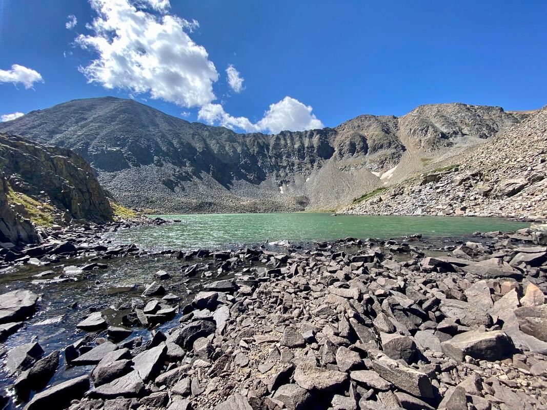
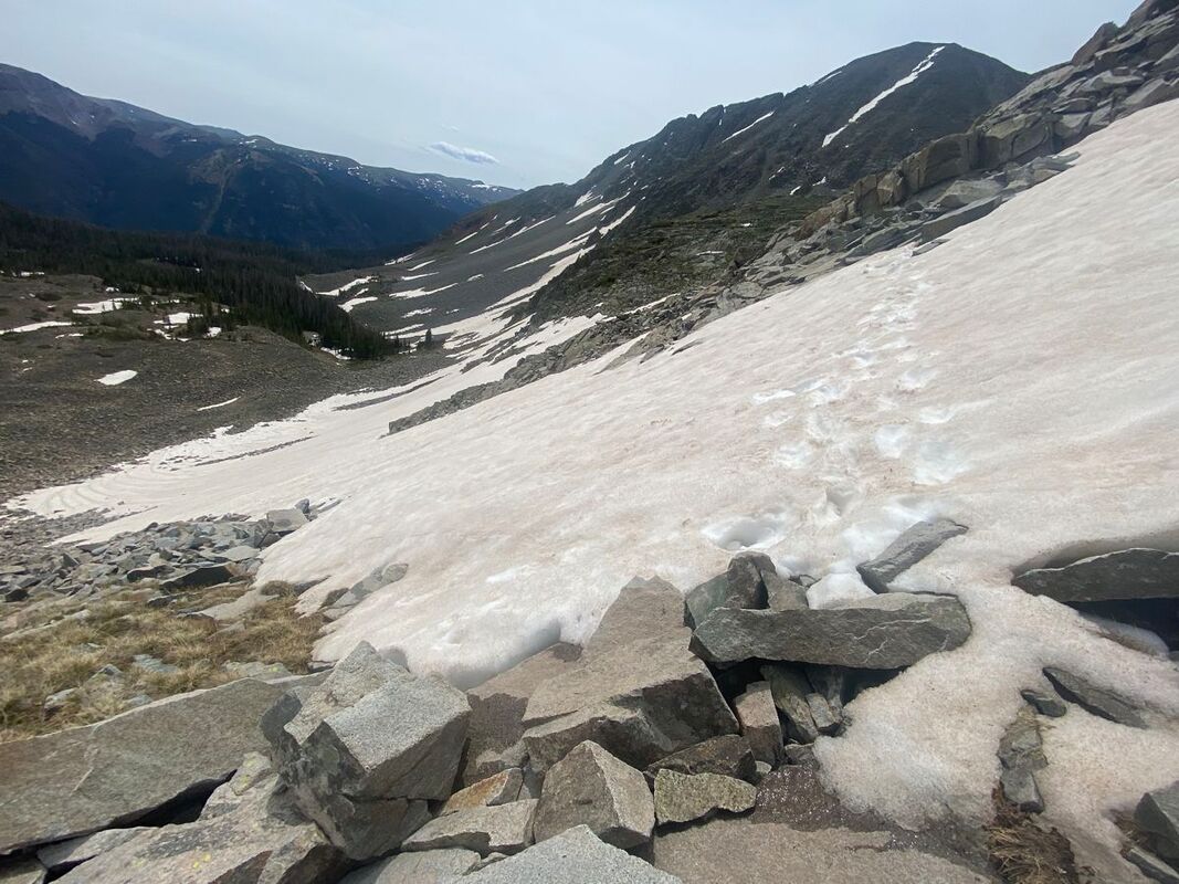
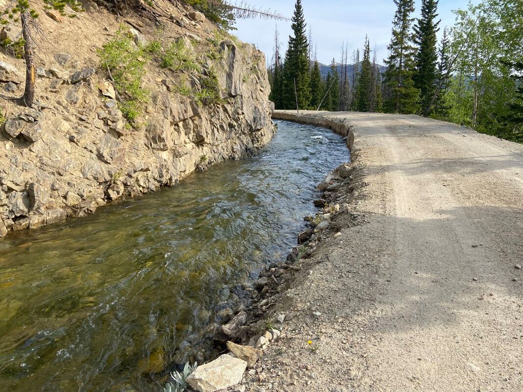
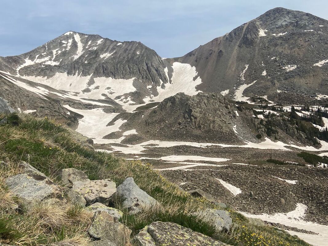
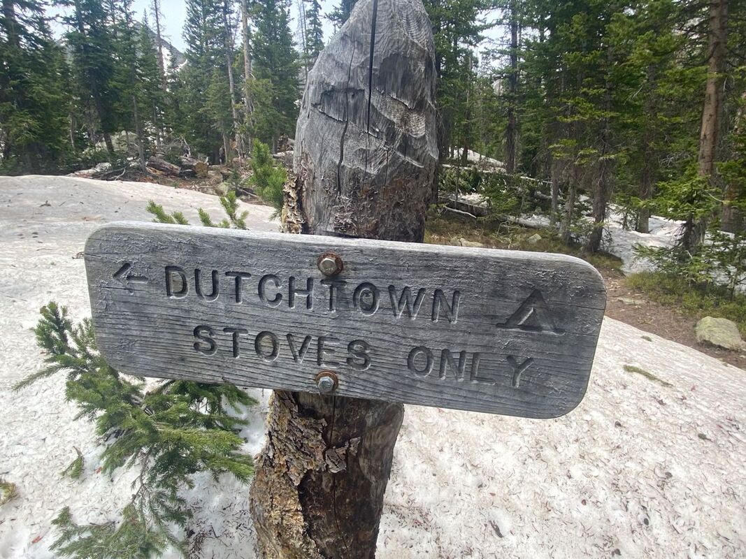
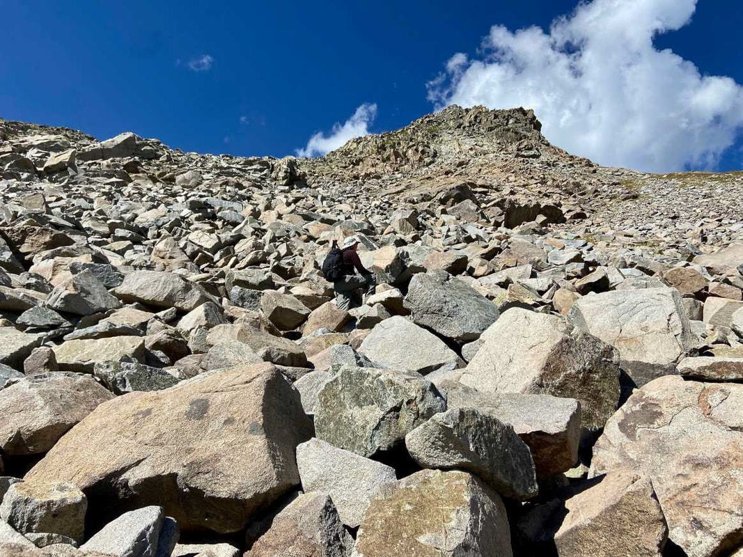
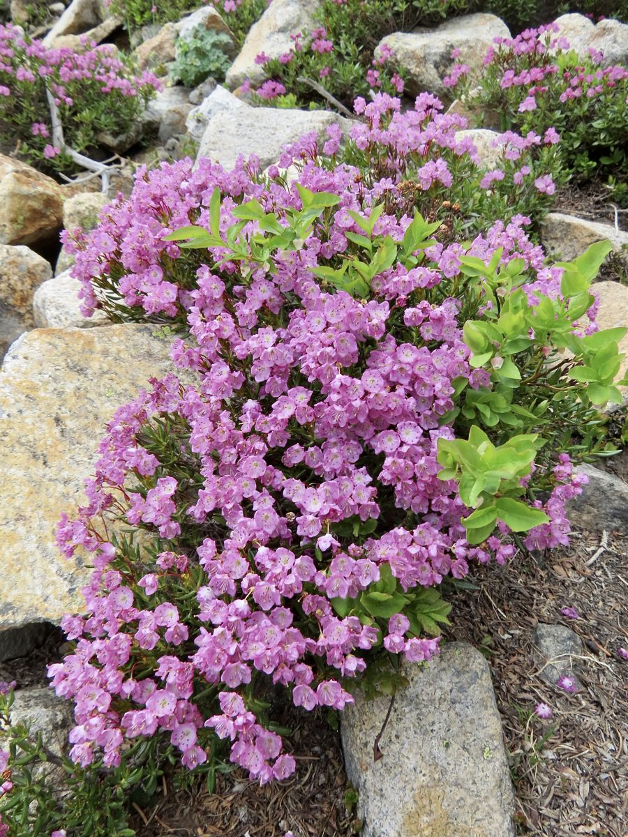
This article is extracted from the current issue of HIKE ROCKY magazine; to learn more about becoming a member to read the entire publication, click here Story and photos in all seasons by Marlene Borneman Lake of the Clouds Mileage: 14 miles round trip, in and out Elevation gain: 2,390 feet Class 2: Use of navigation skills, may use hands for balance on steep talus slopes/boulders Rated: Difficult Lake of the Clouds sits at 11,430 feet among the “cloud” peaks named after cloud formations. Mount Cirrus and Mount Howard loom above the lake with Mount Cumulus and Stratus to the south. It is the largest lake west of the Continental Divide in the Never Summer Range. This section of the park is remote, rugged, encompassing stunning alpine scenery. Before mid-July be prepared to hike on snow including steep snowfields which may require special gear and experience on snowfields. This adventuresome hike starts at the Colorado River trailhead. The trail sets off steeply but soon levels off into quiet forest and meadows. Wildlife is often seen near the river so be watchful for elk, moose, and deer. The trail continues up switchbacks for 3.5 miles until the Grand Ditch Road is reached. The Grand Ditch is a 15-mile canal built over a hundred years ago to divert water (run off) from the Never Summer mountains to the east side of the Continental Divide. The water would otherwise go into the Colorado River. This diversion is a water source for the Front Range and beyond to the eastern plains. The Colorado River was formerly called the “Grand” River where the name Grand Ditch was derived. Work on the ditch began in 1894 and was finished in 1934. It is easy walking on the ditch road giving time to soak up the views. A variety of wildflowers grow along the “ditch” and in late summer, ripe tasty raspberries. Follow the Grand Ditch Road for 1.8 miles to Hitchens Gulch crossing a foot bridge. Here Big Dutch Creek cascades into the Grand Ditch. Now, the adventure really begins. Follow the trail to the backcountry campsite Dutchtown. Dutchtown was a mining camp named after German (Dutchmen) prospectors abandoned in 1884. Along the way several lush meadows line the trail filled with alpine laurel, marsh marigolds and globeflowers. Gortex boots come in handy hiking in these wet and often very muddy meadows. In early summer avalanche lilies are a treat to find along this section. In late June throughout most of the summer rose crown, Indian paintbrush, star gentians and many more wildflowers color the landscape. Leaving Dutchtown campsite the trail becomes faint. Stay on the north side of the creek following cairns to reach a large boulder/talus field. This boulder/talus slope is immense and feels overwhelming. A sizeable“bowl” sits above this steep slope which holds Lake of the Clouds. An impressive waterfall flows from the lake down the boulders below forming Big Dutch Creek. Looking north are dramatic views of Lead Mountain. On the boulder/talus slope there are many cairns going in every direction. No matter which route taken, stay on the north side (right hand side) of the waterfall scrambling up large boulders. Assume every boulder will move when stepped on, so balance is key. Grassy ledges above the boulders offer a route on somewhat easier terrain. Topping out on tundra, it is an easy walk to the lake. Lake of the Clouds offers sweeping views. The lake is surrounded by alpine flowers; Old Man of the Mountain, columbines, dotted saxifrage, moss campion, sky pilot, alpine avens just to name a few. Whistles of yellow-bellied marmots and squeaks of pikas may also be part of the scene. Marmots are the largest member of the squirrel family. Marmots are very curious animals. Walking away from a daypack is just an invitation for a marmot to tear into it in search of food. Marmots hibernate in the winter so summer months they are occupied gaining body fat. Pikas are hard- working small furry mammals in the rabbit family. Pikas do not hibernate. They scurry rapidly across the tundra gathering plants to store for their winter food stash. Follow the route back to the Grand Ditch Road down to the Colorado River trailhead. Some may say this is a really demanding hike, but the rewards of the day are worth every step. 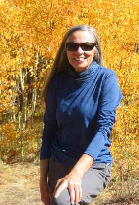 Marlene has been photographing Colorado's wildflowers while on her hiking and climbing adventures since 1974. Marlene has climbed Colorado's 54 14ers and the 126 USGS named peaks in Rocky. She is the author of Rocky Mountain Wildflowers 2nd Ed, The Best Front Range Wildflower Hikes, and Rocky Mountain Alpine Flowers. This story of local and independent journalism was made possible by: Castle Mountain Lodge and Rock Creek Tavern.
|
Categories
All
|
© Copyright 2025 Barefoot Publications, All Rights Reserved

