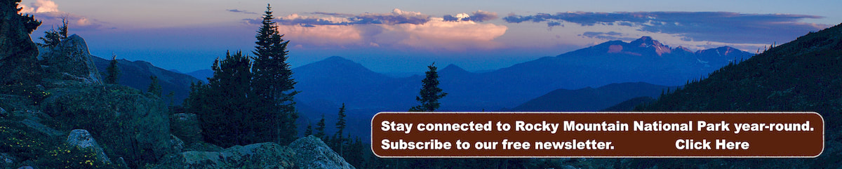
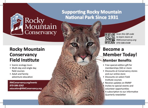
Support Our Local Partners
Click the Link
Click the Link
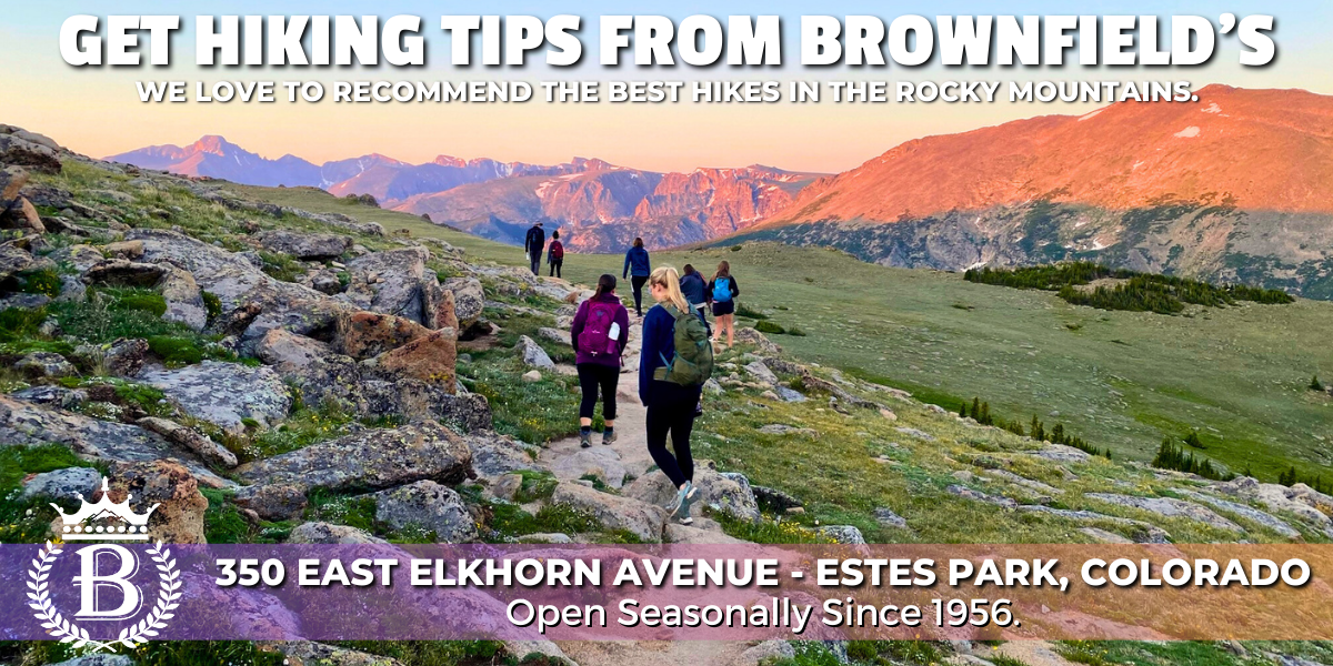
Brownfield's
|
Trail Type: Waterfall Hike
Trailhead: Cow Creek Trailhead Elevation: 7,820' Destination Elevation: 8,140' Total Elevation Gain: 730' Total Roundtrip Miles: 4.8 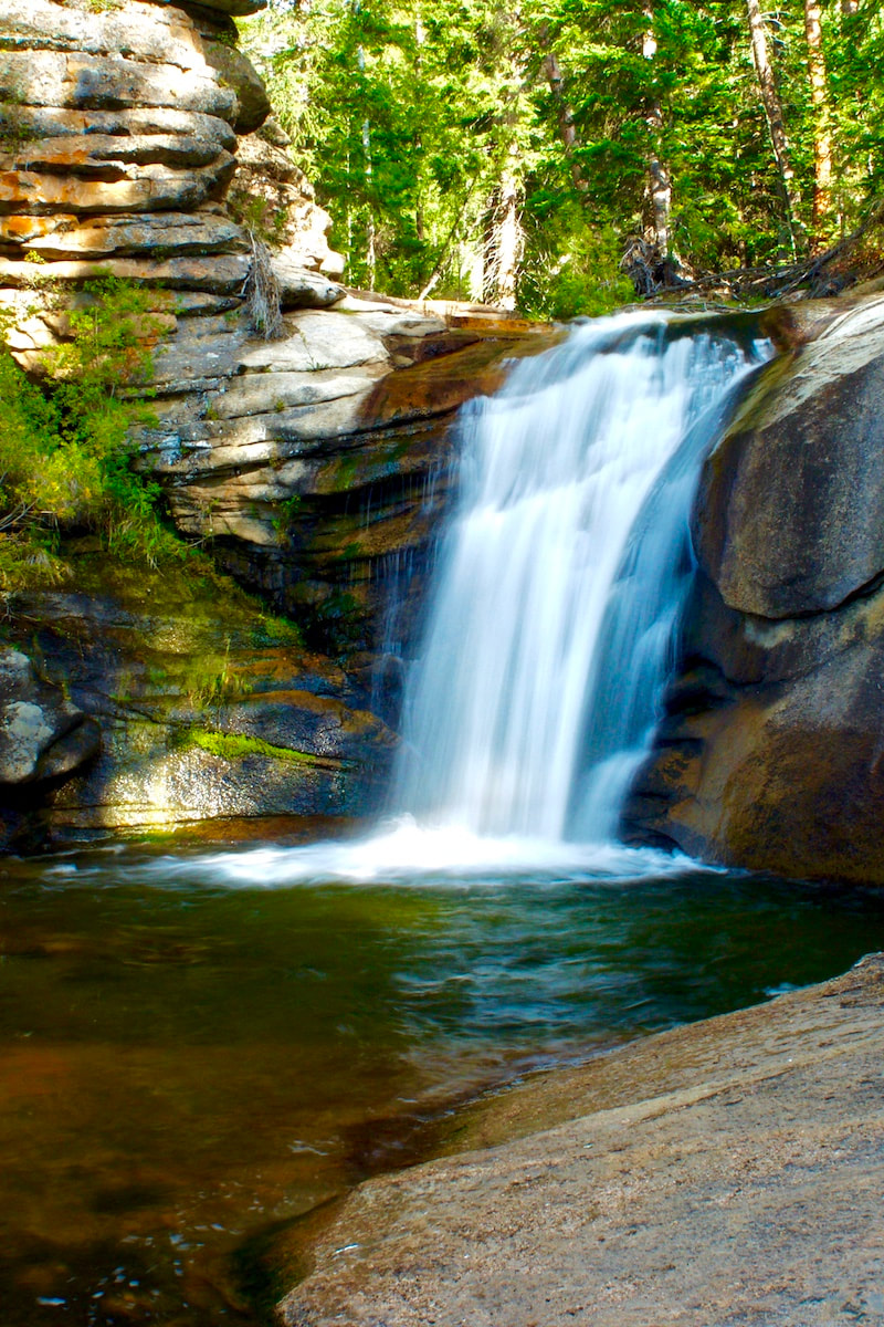
West Creek Falls
|
Trail Description
At the west end of the McGraw Ranch Historic Site, take the less traveled North Boundary trail and climb up out of the Cow Creek drainage to the saddle, then drop steeply down into the West Creek drainage. Signs of the 2013 flood are all along the stream and the enjoyable but lesser maintained trail eventually finds a path to the Falls. How to Get There From Downtown Estes Park, travel north on McGregor Ave, crossing over the Hwy 34 Bypass and continuing past the sharp bend to the east, where the road becomes Devils Gulch Road, for about 3.8 miles. Then take the dirt road that branches off toward the north for another 2 miles to the Cow Creek Trailhead. |
|
Trail Profile
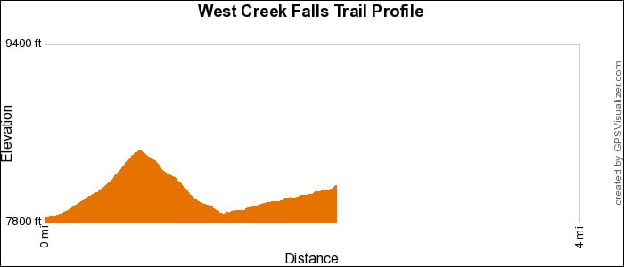
See an Index of Trail Profiles here
|
Weather Information

|

Brownfield's
|

Images of RMNP
|

Backbone Adventures
|

New Roots Real Estate
|

Poppy's Pizza & Grill
|

Mama Rose's
|
Visit Estes Park
|

Estes Park Health
|

The Original Taffy Shop
|

The Spice Rack
|

Raven's Roast Coffee Lounge
|

MacDonald Book Shop
|

Windcliff Vacation Rentals
|

Affinity Massage & Wellness
|

Mountain Home Cafe
|

Spur Liquor
|

Estes Park Mountain Shop
|

Rocky Mountain Adventures
|
Aspen Winds
|

The Barrel
|

Rams Horn Village Resort
|
Backpacking Light
|

Plum Creek Shoe Station
|