<<< Pear Lake >>>
6.2 miles
|
Trail Type: Longer Hike
Trailhead: Finch Lake Location: Wild Basin & Longs Peak Area Trailhead Elevation: 8,476' Destination Elevation: 10,594' Total Elevation Gain: 2,354' Total Roundtrip Miles: 12.4 |
Trail Description
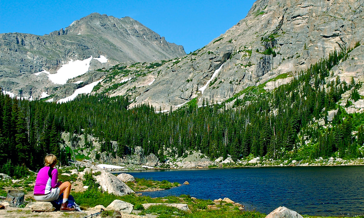
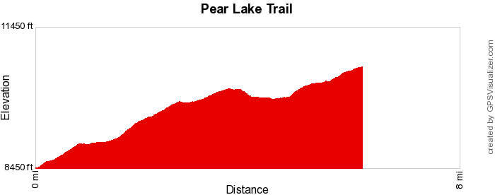
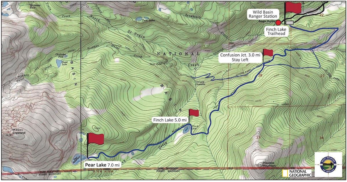
The trail begins by climbing our of the South St Vrain River drainage before leveling off, then steadily gaining elevation through a mix of montane pines and aspen with occasional mountain vistas. At about 4.5 miles, the trail suddenly drops in elevation to Finch Lake and then regains the elevation in more subalpine terrain before reaching Pear Lake. How to Get There
Drive south of Estes Park on Hwy 7 13.5 miles, toward the town of Allenspark. Turn right at the Wild Basin Ranger Station sign and follow the dirt road to the Finch Lake trailhead on the left. |
|
Trail Profile
|
Weather Information
|
Trail Map
Pear Lake Trail Photo Gallery
Stay connected to Rocky Mountain National Park year-round.
Subscribe to our free monthly newsletter.
Subscribe to our free monthly newsletter.
These Trail Pages made possible with Support from our Local Partners.
When in Estes, Shop Locally!!
When in Estes, Shop Locally!!
© Copyright 2025 Barefoot Publications, All Rights Reserved


