Support Our Local Partners
Click the Link
Click the Link

Backpacking Light
|
Trail Type: Longer Hike
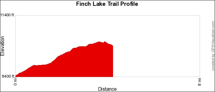
Trailhead: Finch Lake Location: Wild Basin & Longs Peak Area Trailhead Elevation: 8,476' Destination Elevation: 9,925' Total Elevation Gain: 1,449' Total Roundtrip Miles: 10 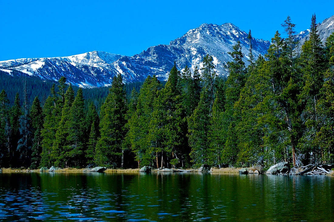
Finch Lake
|
Trail Description
The Finch Lake trail in Rocky Mountain National Park begins by climbing up the hillside in an easterly direction. At the top of the ridge, the hike switchbacks westward, traveling mostly in forested terrain. The trail goes by a couple of different trail junctions, through burned remains of a 1978 forest fire, and offers a few views of the Wild Basin peaks. The trail then crosses a couple of streams before dropping to the lake. How to Get There
Drive south of Estes Park on Hwy 7 13.5 miles, toward the town of Allenspark. Turn right at the Wild Basin Ranger Station sign and follow the dirt road to the Finch Lake trailhead on the left. |
|
Trail Profile
See an Index of Trail Profiles here
|
Weather Information
|
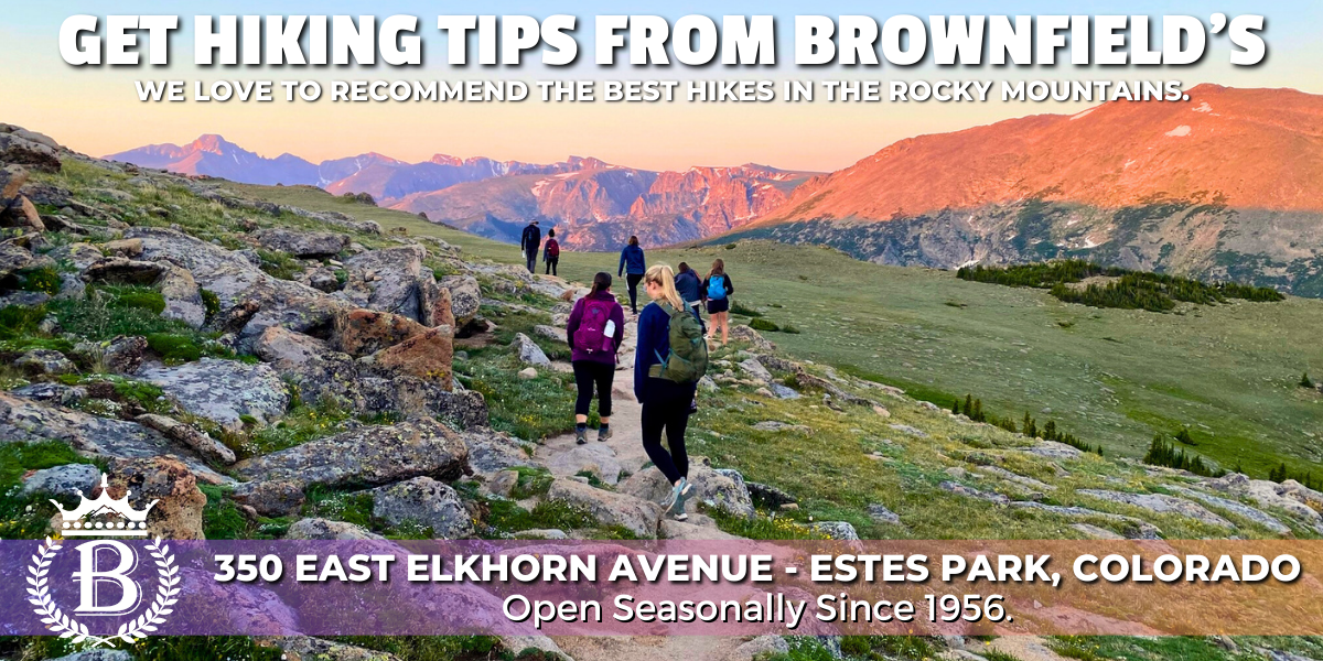
Brownfield's
|

Images of RMNP
|

Backbone Adventures
|

New Roots Real Estate
|

Poppy's Pizza & Grill
|

Mama Rose's
|
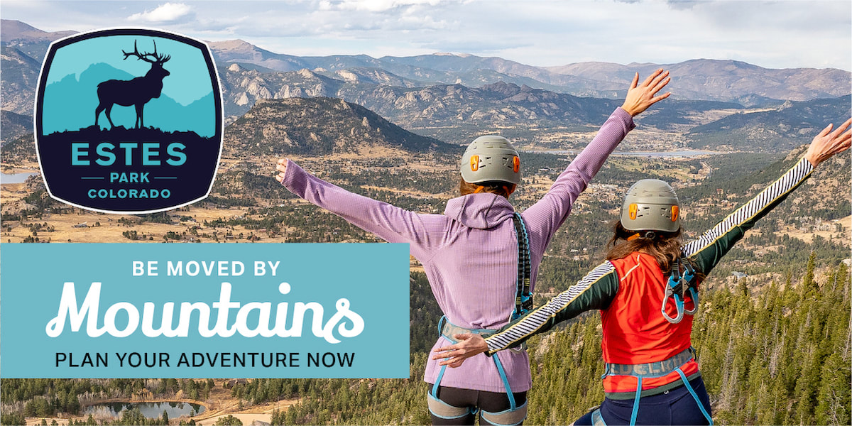
Visit Estes Park
|

Estes Park Health
|

The Original Taffy Shop
|

The Spice Rack
|

Raven's Roast Coffee Lounge
|

MacDonald Book Shop
|

Windcliff Vacation Rentals
|

Affinity Massage & Wellness
|

Mountain Home Cafe
|

Spur Liquor
|
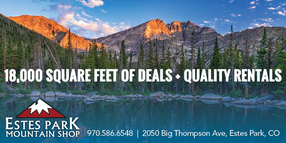
Estes Park Mountain Shop
|

Rocky Mountain Adventures
|
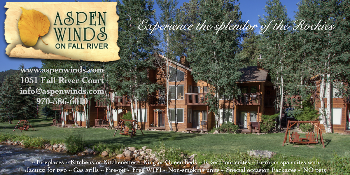
Aspen Winds
|
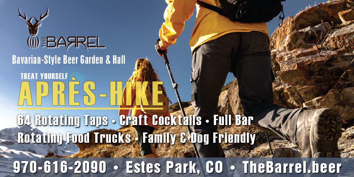
The Barrel
|
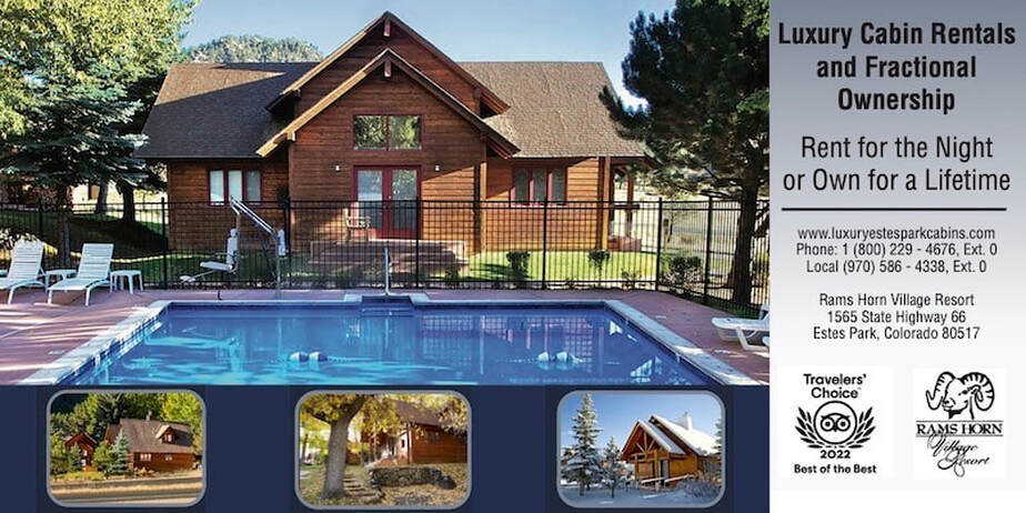
Rams Horn Village Resort
|
Backpacking Light
|

Plum Creek Shoe Station
|