Raven's Roast Coffee Lounge
Support Our Local Partners
Click the Link
Click the Link
|
Trail Type: Peak Hike
Trailhead: Bear Lake Beginning Elevation: 9475' Destination Elevation: 11,939' Total Elevation Gain: 2,464' Total Roundtrip Miles: 14.4 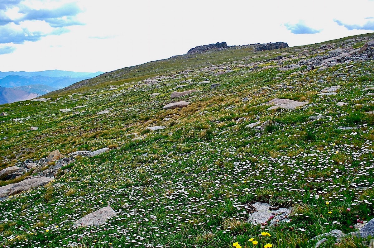
Approach to the summit of Gabletop Mtn
|
Trail Description
The destination for this hike is off the main trail and requires some backcountry navigation skills including map reading skills and an awareness of the lay of the land. These are sensitive areas, please travel carefully. Beginning at Bear Lake, follow the Flattop Mtn trail to the summit and then continue in a northwesterly direction, following the Tonahutu Creek trail across the Continental Divide. After passing Ptarmigan Point, cut north off the trail and travel across rocky alpine terrain past Knobtop Mtn to Gabletop Mtn. How to Get There Take the Bear Lake Road from US 36 to the Bear Lake trailhead, 9.7 miles. Parking during the summer season is very limited. It's best to utilize the Hiker Shuttle from the Estes Park Visitor Center and the Park Shuttle Buses. |
|
Trail Profile
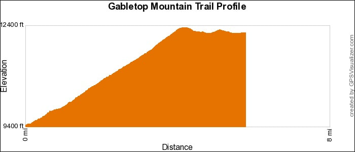
See an Index of Trail Profiles here
|
Weather Information

|
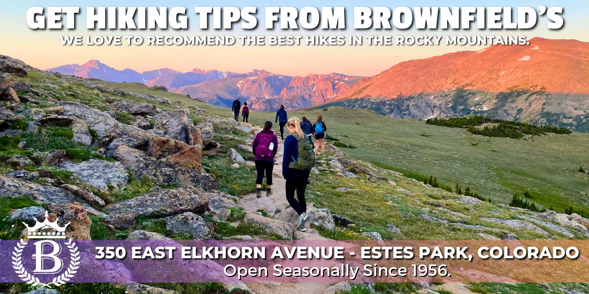
Brownfield's
|

Images of RMNP
|

Backbone Adventures
|

New Roots Real Estate
|

Poppy's Pizza & Grill
|

Mama Rose's
|
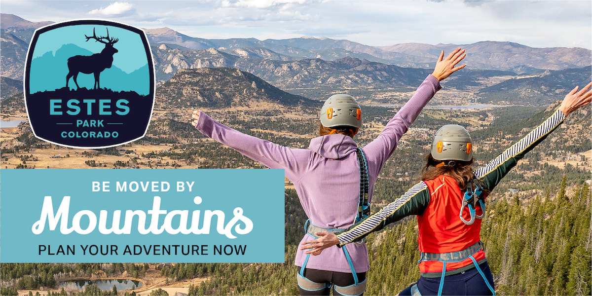
Visit Estes Park
|

Estes Park Health
|

The Original Taffy Shop
|

The Spice Rack
|

Raven's Roast Coffee Lounge
|

MacDonald Book Shop
|

Windcliff Vacation Rentals
|

Affinity Massage & Wellness
|

Mountain Home Cafe
|

Spur Liquor
|

Estes Park Mountain Shop
|

Rocky Mountain Adventures
|

Aspen Winds
|
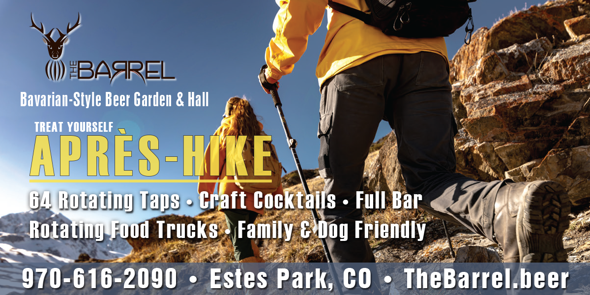
The Barrel
|
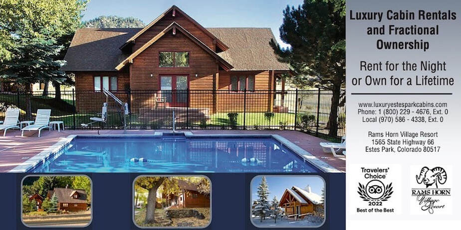
Rams Horn Village Resort
|
Backpacking Light
|

Plum Creek Shoe Station
|