Rams Horn Village Resort
Support Our Local Partners
Click the Link
Click the Link
|
Trail Type: Waterfall Hike
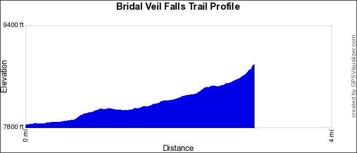
Trailhead: Cow Creek Trailhead Elevation: 7,820' Destination Elevation: 8,880' Total Elevation Gain: 1,060' Total Roundtrip Miles: 6.2 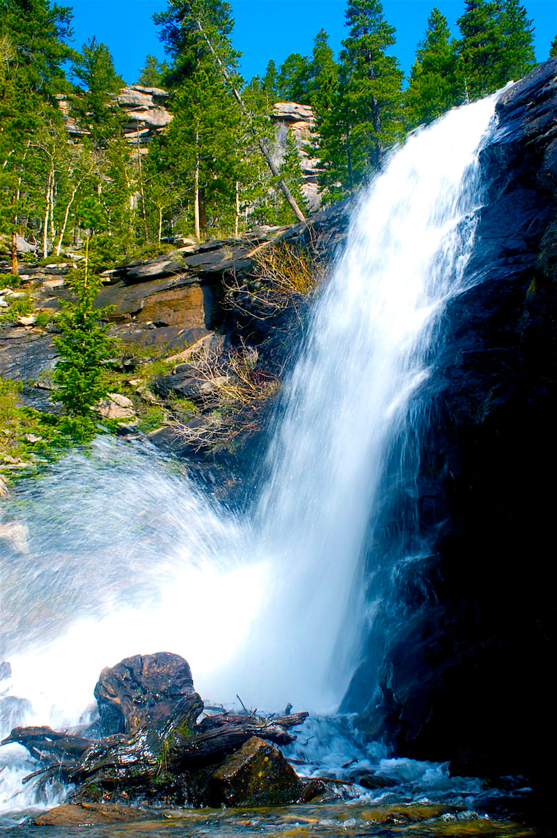
Bridal Veil Falls
|
Trail Description
This is a good early summer hike in Rocky Mountain National Park when the falls are ripping with spring runoff. Enjoy an abundant variety of montane meadow wildflowers all season long. Follow the trail through the the McGraw Ranch Historic Site and continue west in the Cow Creek valley. The gradual rise in elevation in open meadows makes for pleasant hiking. How to Get There From Downtown Estes Park, travel north on McGregor Ave, crossing over the Hwy 34 Bypass and continuing past the sharp bend to the east, where the road becomes Devils Gulch Road, for about 3.8 miles. Then take the dirt road that branches off toward the north for another 2 miles to the Cow Creek Trailhead. |
|
Trail Profile
See an Index of Trail Profiles here
|
Weather Information

|
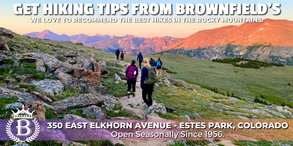
Brownfield's
|

Images of RMNP
|

Backbone Adventures
|

New Roots Real Estate
|

Poppy's Pizza & Grill
|

Mama Rose's
|
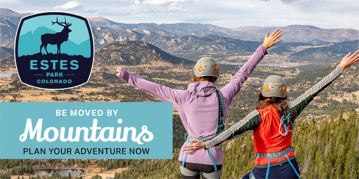
Visit Estes Park
|

Estes Park Health
|

The Original Taffy Shop
|

The Spice Rack
|

Raven's Roast Coffee Lounge
|

MacDonald Book Shop
|

Windcliff Vacation Rentals
|

Affinity Massage & Wellness
|

Mountain Home Cafe
|

Spur Liquor
|

Estes Park Mountain Shop
|

Rocky Mountain Adventures
|
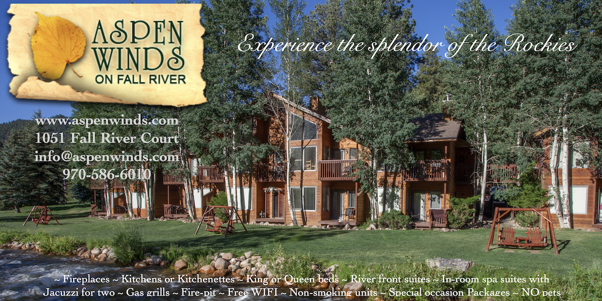
Aspen Winds
|
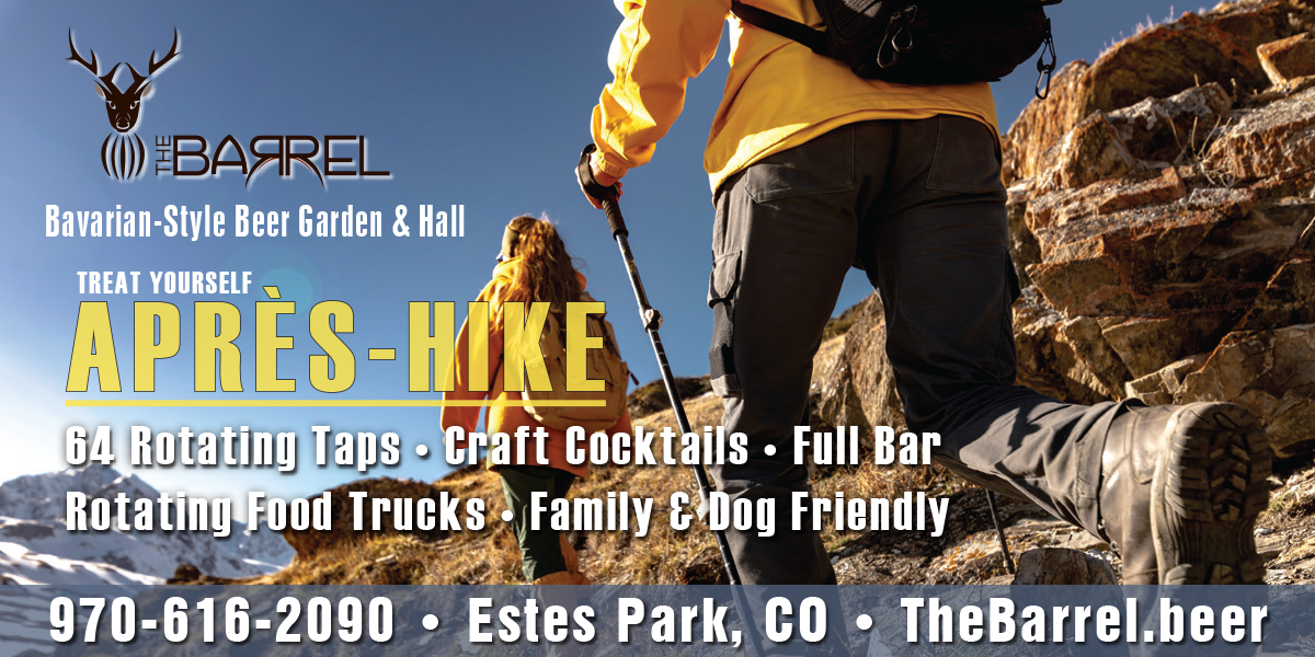
The Barrel
|

Rams Horn Village Resort
|
Backpacking Light
|

Plum Creek Shoe Station
|