Support Our Local Partners
Click the Link
Click the Link
Spur Liquor
|
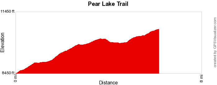
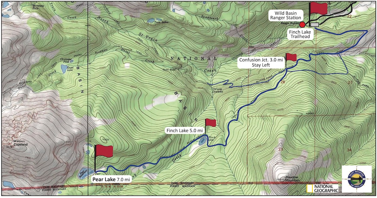
Trail Type: Longer Hike
Trailhead: Finch Trailhead Elevation: 8,476' Destination Elevation: 10,594' Total Elevation Gain: 2,354' Total Roundtrip Miles: 12.4 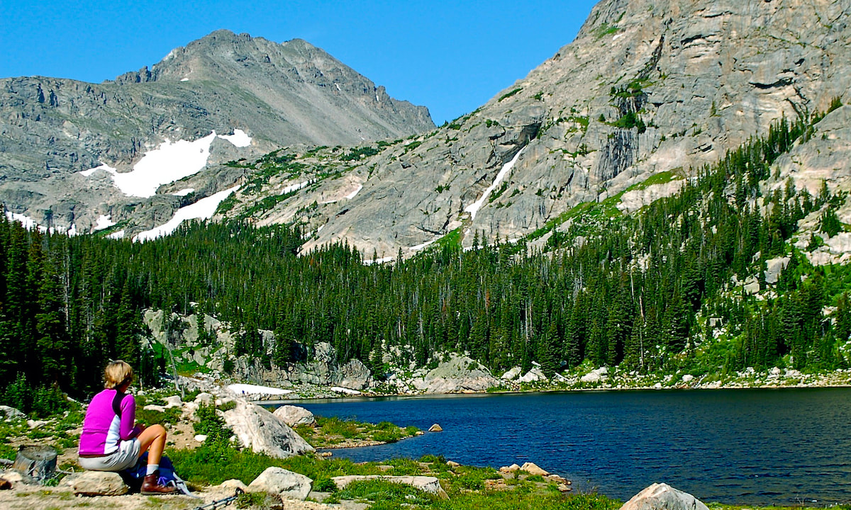
Pear Lake
|
Trail Description
The trail begins by climbing our of the South St Vrain River drainage before leveling off, then steadily gaining elevation through a mix of montane pines and aspen with occasional mountain vistas. At about 4.5 miles, the trail suddenly drops in elevation to Pear Lake and then regains the elevation in more subalpine terrain before reaching Pear Lake. How to Get There
Drive south of Estes Park on Hwy 7 13.5 miles, toward the town of Allenspark. Turn right at the Wild Basin Ranger Station sign and follow the dirt road to the Finch Lake trailhead on the left. |
|
Trail Profile
|
Weather Information
|
Brownfield's
|
Images of RMNP
|

Backbone Adventures
|

New Roots Real Estate
|

Poppy's Pizza & Grill
|
Mama Rose's
|
Visit Estes Park
|

Estes Park Health
|

The Original Taffy Shop
|

The Spice Rack
|
Raven's Roast Coffee Lounge
|
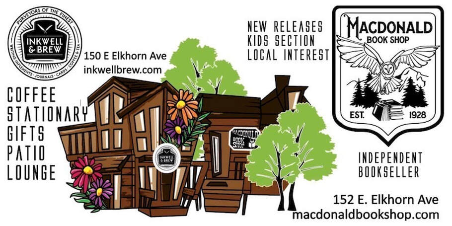
MacDonald Book Shop
|

Windcliff Vacation Rentals
|

Affinity Massage & Wellness
|

Mountain Home Cafe
|

Spur Liquor
|

Estes Park Mountain Shop
|

Rocky Mountain Adventures
|
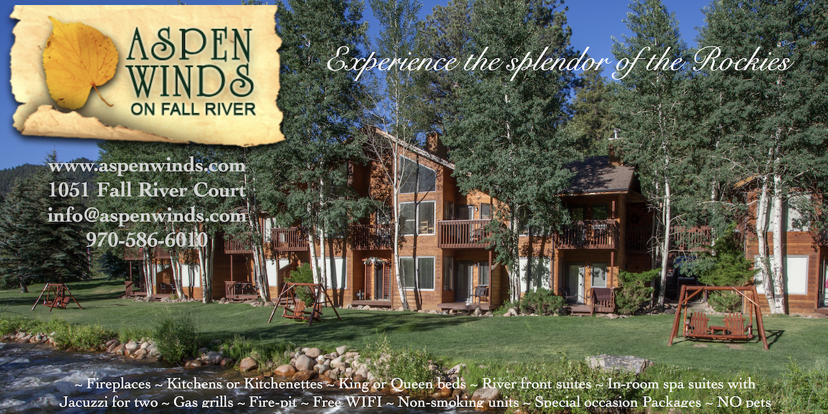
Aspen Winds
|
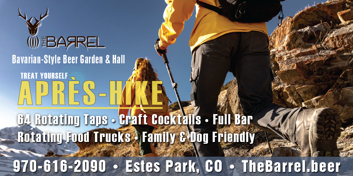
The Barrel
|
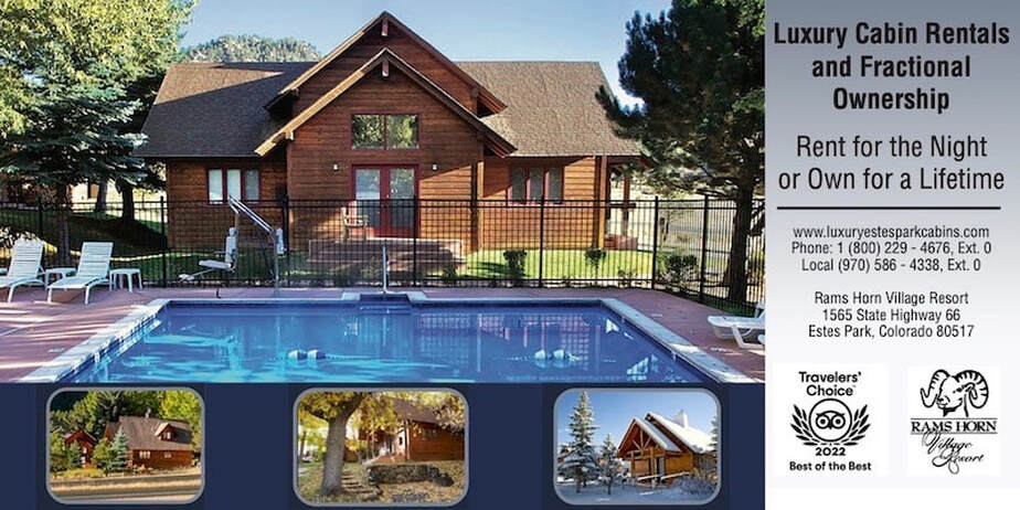
Rams Horn Village Resort
|
Backpacking Light
|

Plum Creek Shoe Station
|