Mama Rose's
Support Our Local Partners
Click the Link
Click the Link
|
Trail Type: Moderate Loop Hike
Trailhead: Upper Beaver Meadows Beginning Elevation: 8,440' Destination Elevation: 9,250' Total Elevation Gain: 810' Total Roundtrip Miles: 4.6 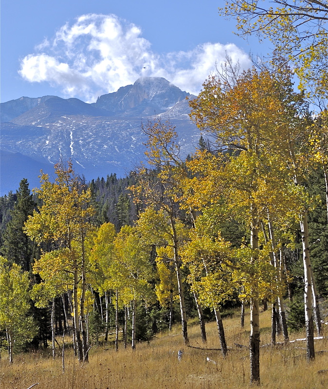
Longs Peak from the Beaver Mtn Trail
|
Trail Description
This trail has experienced significant fire damage from the 2020 East Troublesome Fire. This loop trail begins in the montane zone of the Upper Beaver Meadows in Rocky Mountain National Park. Hike south with Longs Pk in front of you, across the west end of the meadows and into the trees. Follow trail signs for Trail Ridge Rd as this is also the start of the Ute trail. The Beaver Mt trail branches off at 1.5 miles and cuts back north on the lower slope of Beaver Mtn. There's a terrific rock outcrop about half way on the loop affording fantastic views in all directions. How To Get There Take the main road into the National Park from the Beaver Meadows Visitor Center and turn left at the first switchback. Take this lesser road all the way to the end to the Upper Beaver Meadows trailhead parking area. |
|
Trail Profile
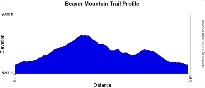
See an Index of Trail Profiles here
|
Weather Information

|


Brownfield's
|

Images of RMNP
|

Backbone Adventures
|

New Roots Real Estate
|

Poppy's Pizza & Grill
|
Visit Estes Park
|

Estes Park Health
|

The Original Taffy Shop
|

The Spice Rack
|

Raven's Roast Coffee Lounge
|

MacDonald Book Shop
|

Windcliff Vacation Rentals
|

Affinity Massage & Wellness
|

Mountain Home Cafe
|

Spur Liquor
|

Estes Park Mountain Shop
|

Rocky Mountain Adventures
|
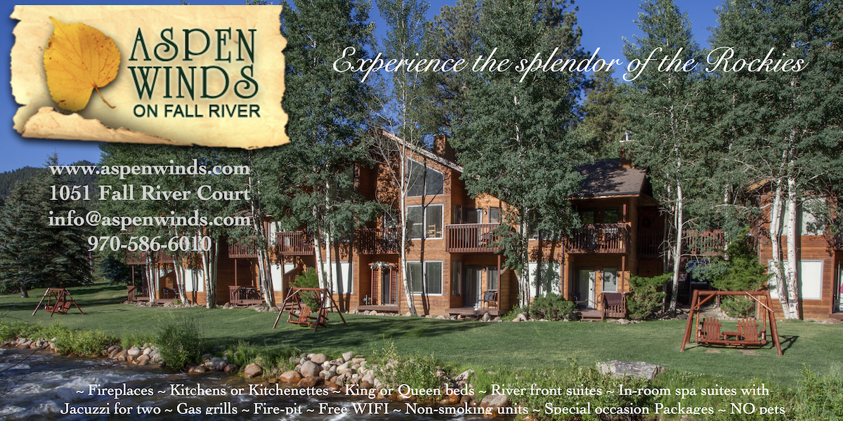
Aspen Winds
|

The Barrel
|
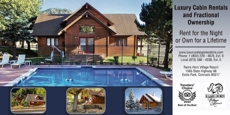
Rams Horn Village Resort
|
Backpacking Light
|

Plum Creek Shoe Station
|